MA Section 7 Pictures - Milemarker 1.6 - 7.8
Cobble Loop Trail - Beaver Pond
Move your mouse across the pictures for more information.
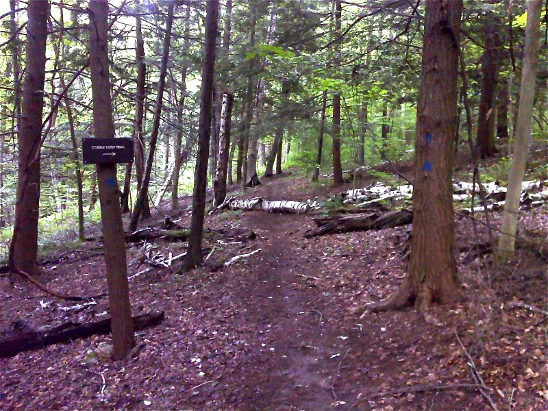
South junction with the Cobble Loop Trail. GPS N42.2481 N73.2143
Submitted by pjwetzel @ gmail.com
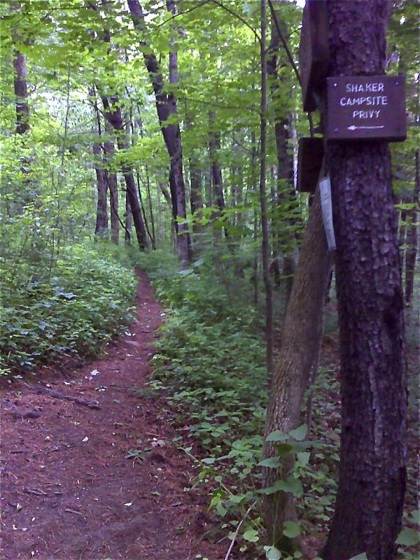
mm 3.1 Side trail to Shaker Campsite. GPS N42.2521 N73.2243
Submitted by pjwetzel @ gmail.com
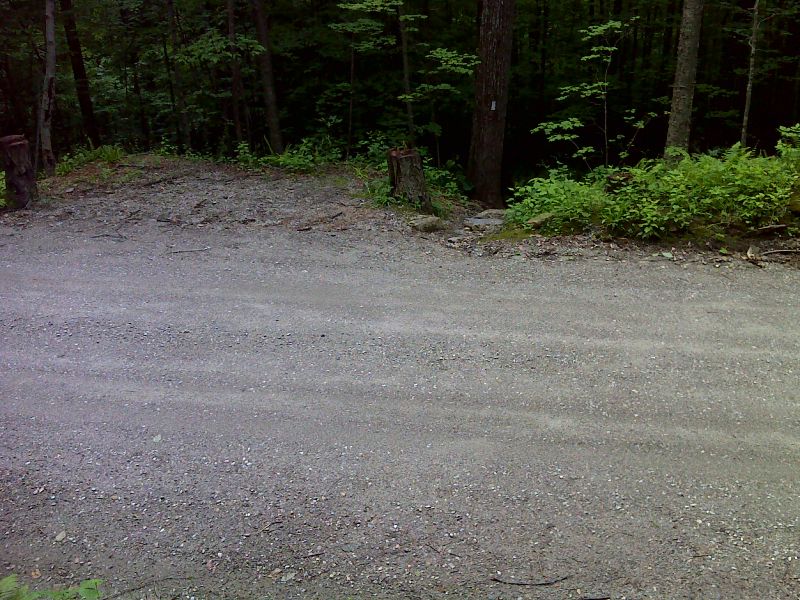
mm 3.4 The trail crosses Fernside Road. GPS 42.2501 W73.2274
Submitted by pjwetzel @ gmail.com
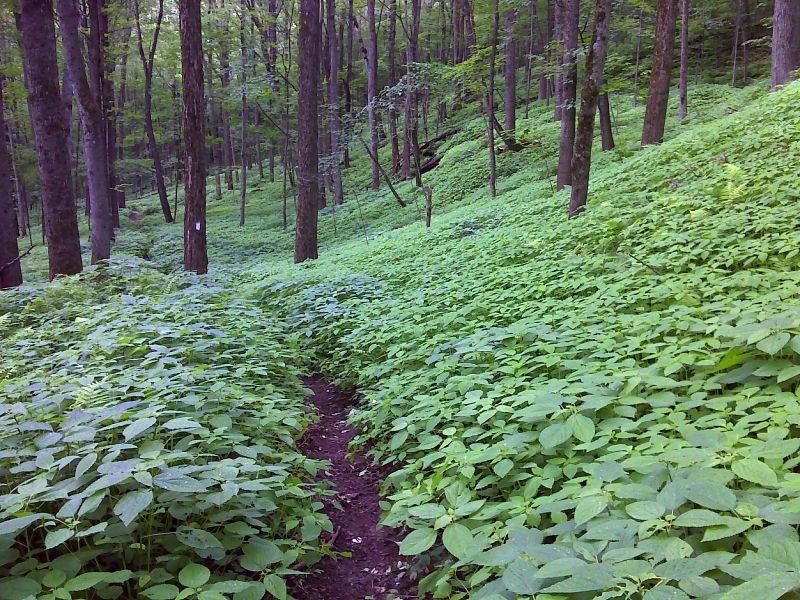
Hillside carpeted with jewel weed and stinging nettle plants. GPS 42.2495 W73.2294
Submitted by pjwetzel @ gmail.com
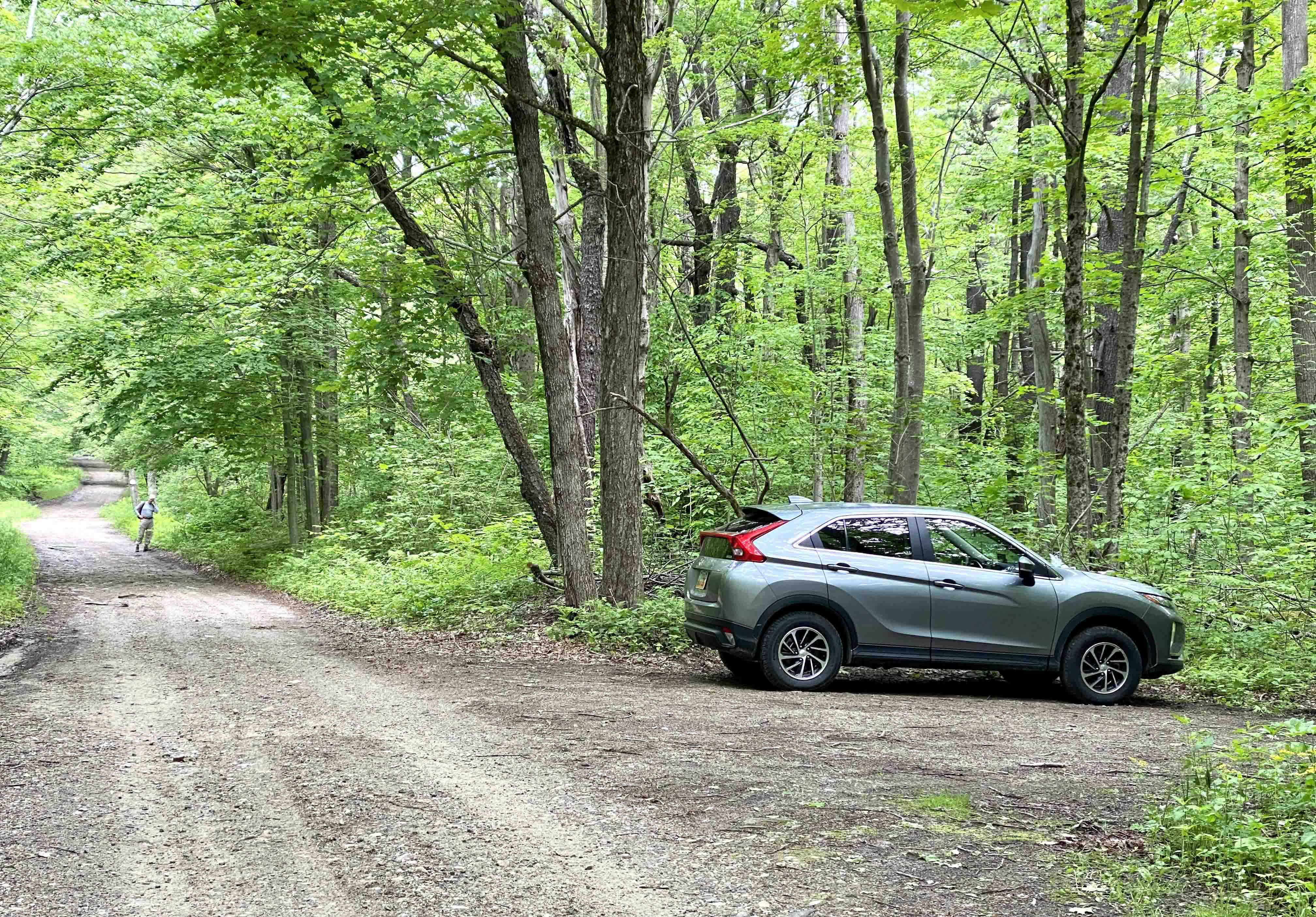
mm 6.1 Parking and Trail Access for Beartown Mountain Road. View looking NW on Beartown Road from parking area. Hiker is standing at the trailhead for NOBO. SOBO is a few steps further down on Beartown Road.
Submitted by WardandDA @ gmail.com
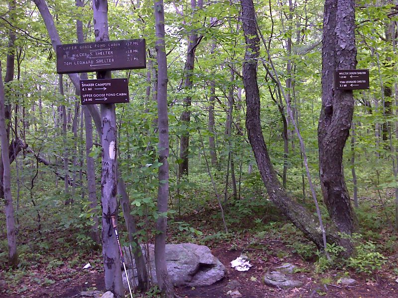
mm 7.2 Side trail to Wilcox North Shelter. GPS 42.2216 W73.2543
Submitted by pjwetzel @ gmail.com
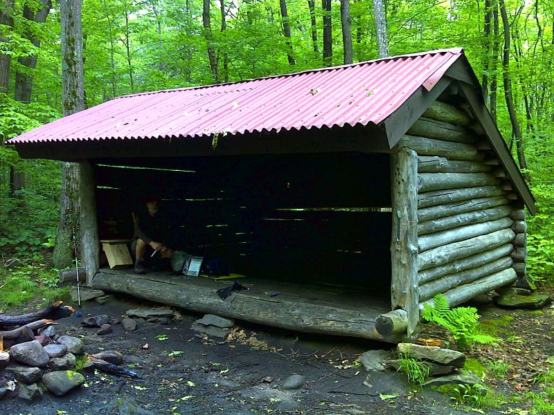
mm 7.2 Mt. Wilcox North Shelter. Ridge Runner Sawdog is in shelter installing a new register box. This shelter is 0.25 miles from the AT via a blue-blazed trail. GPS N42.2211 W73.2502
Submitted by pjwetzel @ gmail.com
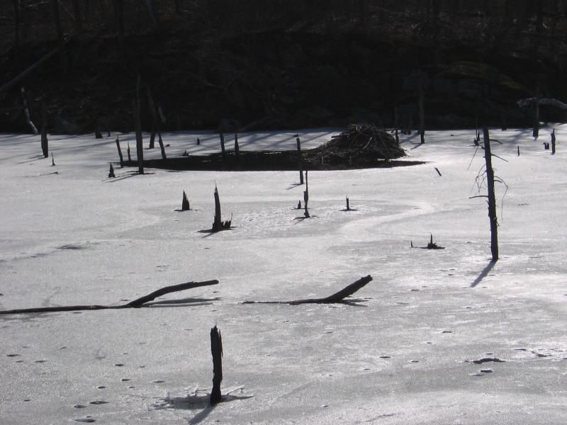
End of March frozen pond on the AT in Beartown Park -- with a Beaver house.
Submitted by jbhanley @ earthlink.net