MA Section 7 Pictures - Milemarker 7.8 - 12.3
Beaver Pond - MA 23
Move your mouse across the pictures for more information.
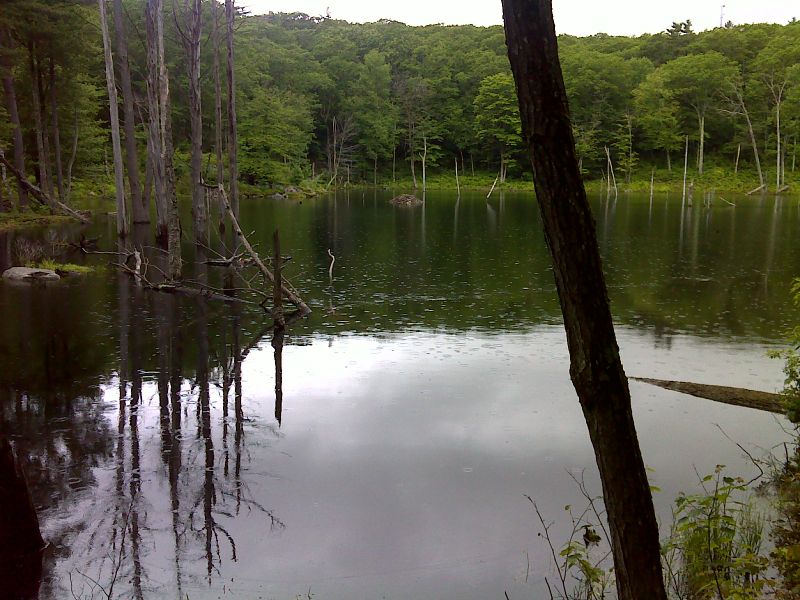
mm 7.8 Beaver pond. GPS N42.2150 W73.2595
Submitted by pjwetzel @ gmail.com
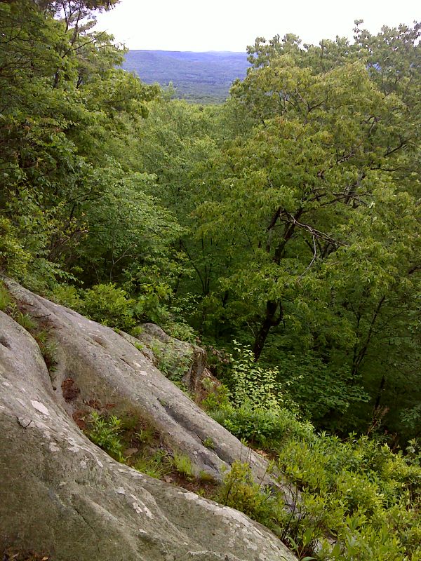
mm 9.7 The Ledges. GPS N42.2025 W73.2765
Submitted by pjwetzel @ gmail.com
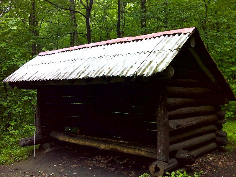
mm 9.0 Old Mt. Wilcox South Shelter built by the CCC in the 1930s. GPS N42.2077 W73.2683
Submitted by pjwetzel @ gmail.com
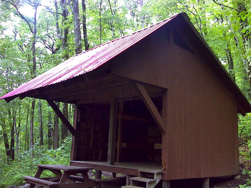
mm 9.0 New Mt. Wilcox South Shelter built in 2007. GPS N42.2073 W73.2675
Submitted by pjwetzel @ gmail.com
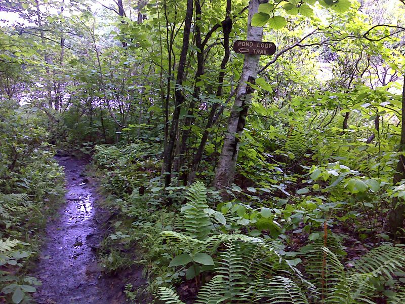
Benedict Pond side trail, 0.5 miles to parking. GPS N42.2010 W73.2826
Submitted by pjwetzel @ gmail.com
mm 10.3 Parking at boat launch area on Benedict Pond. From here a blue-blazed trail leads east 0.25 miles to the AT
Submitted by dlcul @ conncoll.edu
mm 10.3 Benedicts Pond at the boat launch area, the trailhead for the access trail to the AT.
Submitted by dlcul @ conncoll.edu
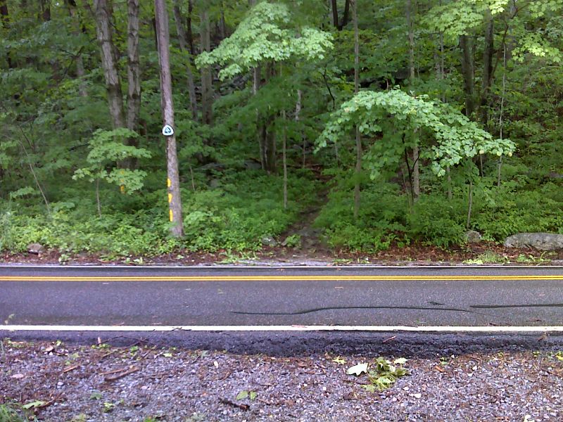
mm 11.1 Blue Hill Road. No parking here. GPS N42.1949 W73.2651
Submitted by pjwetzel @ gmail.com
mm 12.3 Hiker parking area on MA 23
Submitted by dlcul @ conncoll.edu