MA Section 8 Pictures - Milemarker 0.0 - 1.1
MA 23 - Pine Groves
Move your mouse across the pictures for more information.
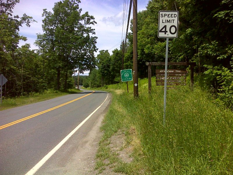
mm 0.0 Trail crossing of MA 23. GPS N42.1840 W73.2906
Submitted by pjwetzel @ gmail.com
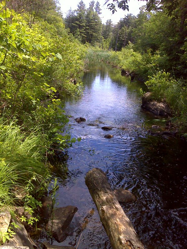
mm 0.4 Stream feeding Lake Buell. GPS N42.1792 W73.2907
Submitted by pjwetzel @ gmail.com
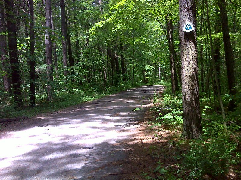
mm 0.5 AT crossing of dirt road, possibly Deerwood Circle, near Lake Buell GPS N42.1764 W73.2913
Submitted by pjwetzel @ gmail.com
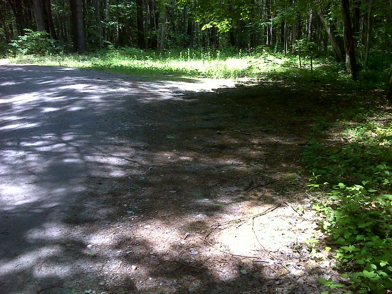
mm 0.5 Parking 100 yards west of AT crossing of dirt road near Lake Buell. GPS N42.1769 W73.2924
Submitted by pjwetzel @ gmail.com
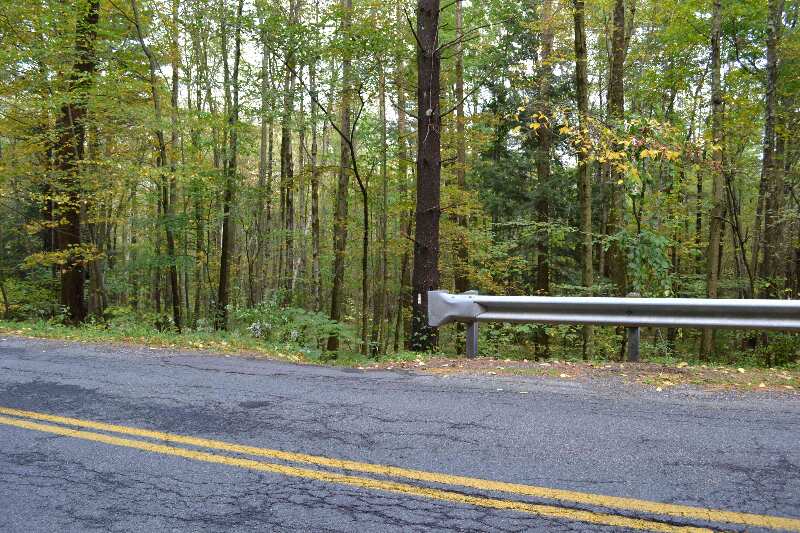
mm 0.9 - Trail entrance north from Lake Buel Road GPS N42.17426 W73.29375 el. 1,144
Submitted by at @ rohland.org
mm 0.9 Hiker parking on Lake Buel Road
Submitted by dlcul @ conncoll.edu
mm 0.9 View of the southbound trail as it leaves Lake Buel
Road
Submitted by dlcul @ conncoll.edu
For about 0.3 miles after leaving Lake Buel Road, the southbound trail goes through pine groves. Taken at approx. mm 1.1
Submitted by dlcul @ conncoll.edu