MA Section 8 Pictures - Milemarker 1.5 - 2.0
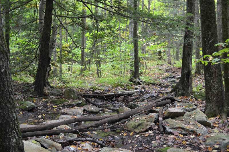
Stream - Tom Leonard Shelter
Move your mouse across the pictures for more information.

Stream along trail GPS N42.17014 W73.30244 el. 1,325
Submitted by at @ rohland.org
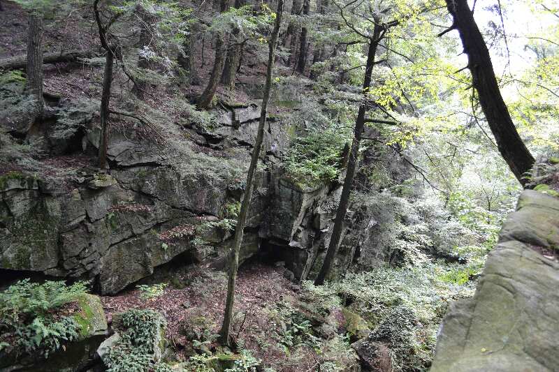
Cliff bordering the trail as it follows near the north rim of
Ice Gulch, a deep narrow ravine. Taken at approx. mm 1.9.
Submitted by dlcul @ conncoll.edu
The trail goes through this cleft in the rock. Taken at
approx. mm 1.9.
Submitted by dlcul @ conncoll.edu

mm 1.9 - Ice Gulch marked by cliffs and view GPS N42.16652 W73.30429 el. 1,681
Submitted by at @ rohland.org
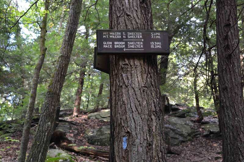
mm 2.0 Sign at Tom Leonard Shelter
Submitted by dlcul @ conncoll.edu

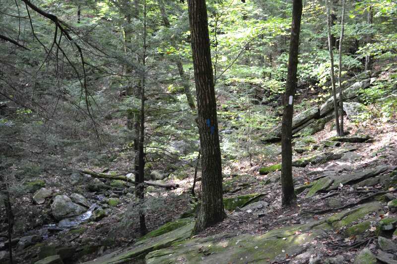
mm 2.0 - Side trail to Tom Leonard Shelter GPS N42.16648 W73.30608 el. 1,604
Submitted by at @ rohland.org

mm 2.0 - Sign at Tom Leonard Shelter GPS N42.16648 W73.30608 el. 1,604
Submitted by at @ rohland.org
mm 2.0 Cliffs seen from the access trail to Tom Leonard
Shelter. The AT runs along the top of these cliffs.
Submitted by dlcul @ conncoll.edu