MA Section 8 Pictures - Milemarker 2.0 - 4.6
Tom Leonard Shelter - Ledges on East Mountain
Move your mouse across the pictures for more information.
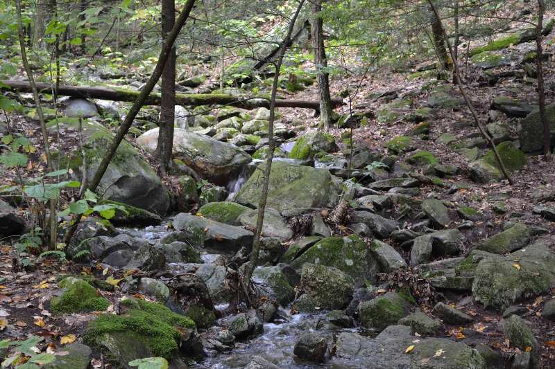
mm 2.0 - Side trail to Tom Leonard Shelter GPS N42.16648 W73.30608 el. 1,604
Submitted by at @ rohland.org
mm 2.0 Tom Leonard Shelter
Submitted by dlcul @ conncoll.edu
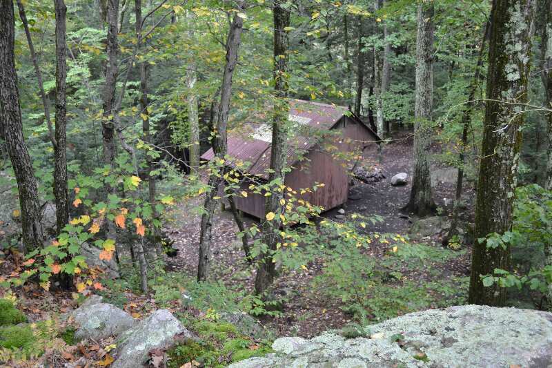
mm 2.0 - View of Tom Leonard Shelter from trail south of shelter GPS N42.16648 W73.30608 el. 1,604
Submitted by at @ rohland.org
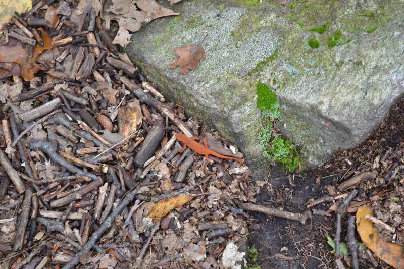
Salamander on trail but I do not think it will be there when you hike by :)
Submitted by at @ rohland.org
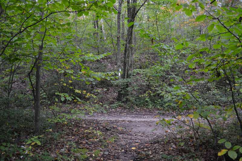
mm 3.9 - Crossing of old woods road GPS N42.15416 W73.32568 el. 1,873
Submitted by at @ rohland.org
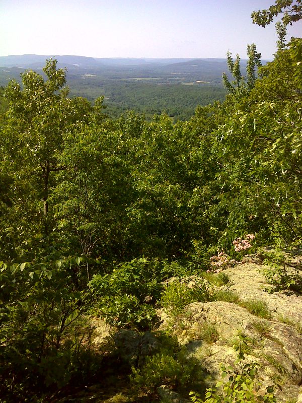
mm 4.1 View of Housatonic Valley from southernmost end of ridge of East Mountain. GPS N42.1519 W73.3280
Submitted by pjwetzel @ gmail.com
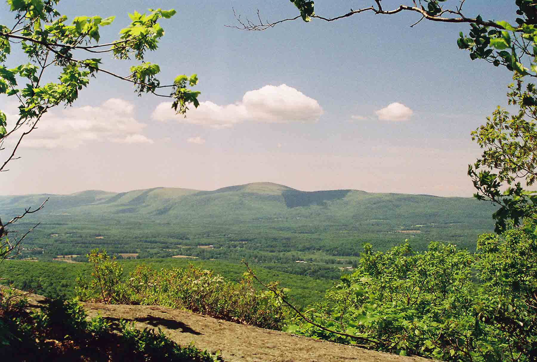
View to the west across the Houstanonic River Valley from the ledges on the west side of East Mountain. The Taconic range is on the other side. The southbound trail crosses this valley then follows the ridge south, crossing almost all the peaks in view. The highest is Mt. Everett. Taken at approx. Mile 4.1.
Submitted by dlcul @ conncoll.edu
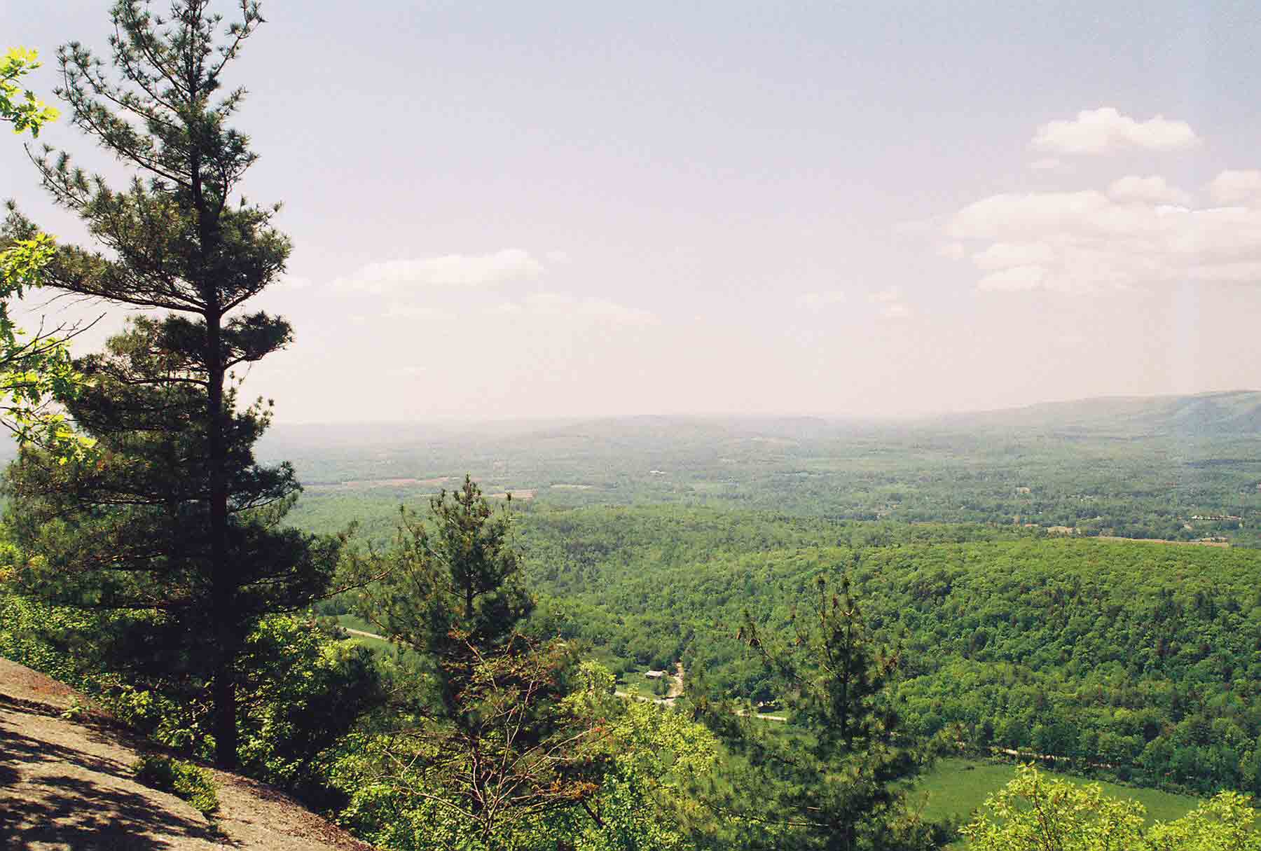
View to the south from the ledges on the west side of East Mt. Taken at approx. Mile 4.6
Submitted by dlcul @ conncoll.edu