MD Section 3 Pictures - Milemarker 6.3 - 7.9
Annaplis Rocks - Southbound descent to US 40
Move your mouse across the pictures for more information.
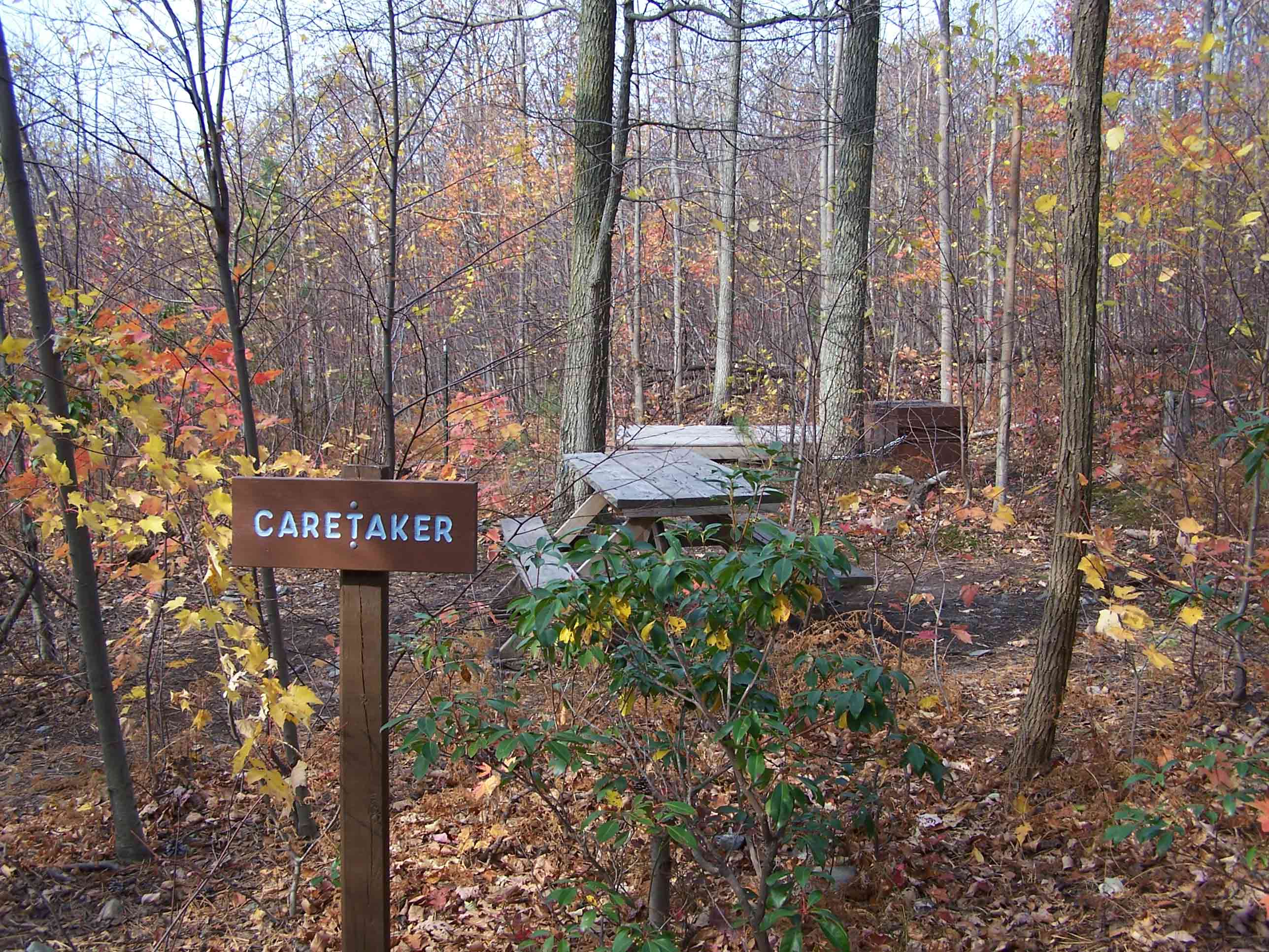
mm 6.3 - Caretaker of primitive campsites at Annapolis Rocks
Submitted by at @ rohland.org
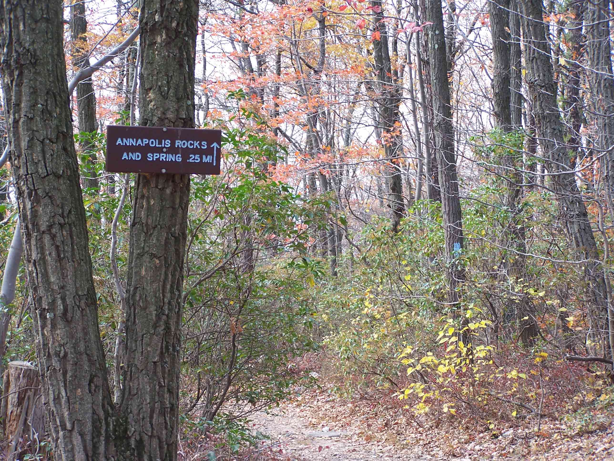
mm 6.3 - Sign for blue-blazed trail to Annapolis Rocks
Submitted by at @ rohland.org
Spring at Annapolis Rocks
Submitted by at_md_rob @ yahoo.com
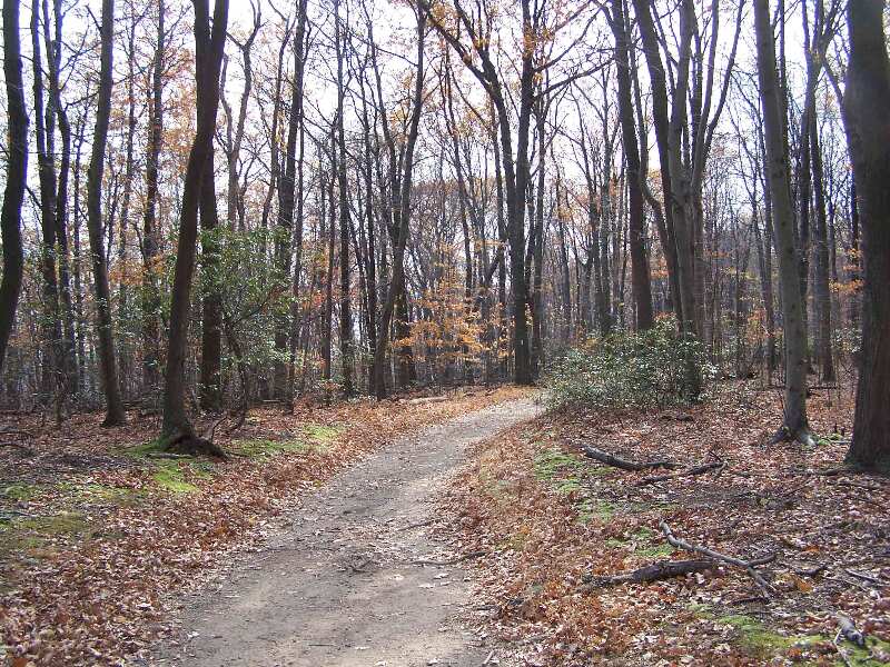
Trail south of Annapolis Rocks
mm 6.3 - Annapolis Rocks
Submitted by at @ rohland.org
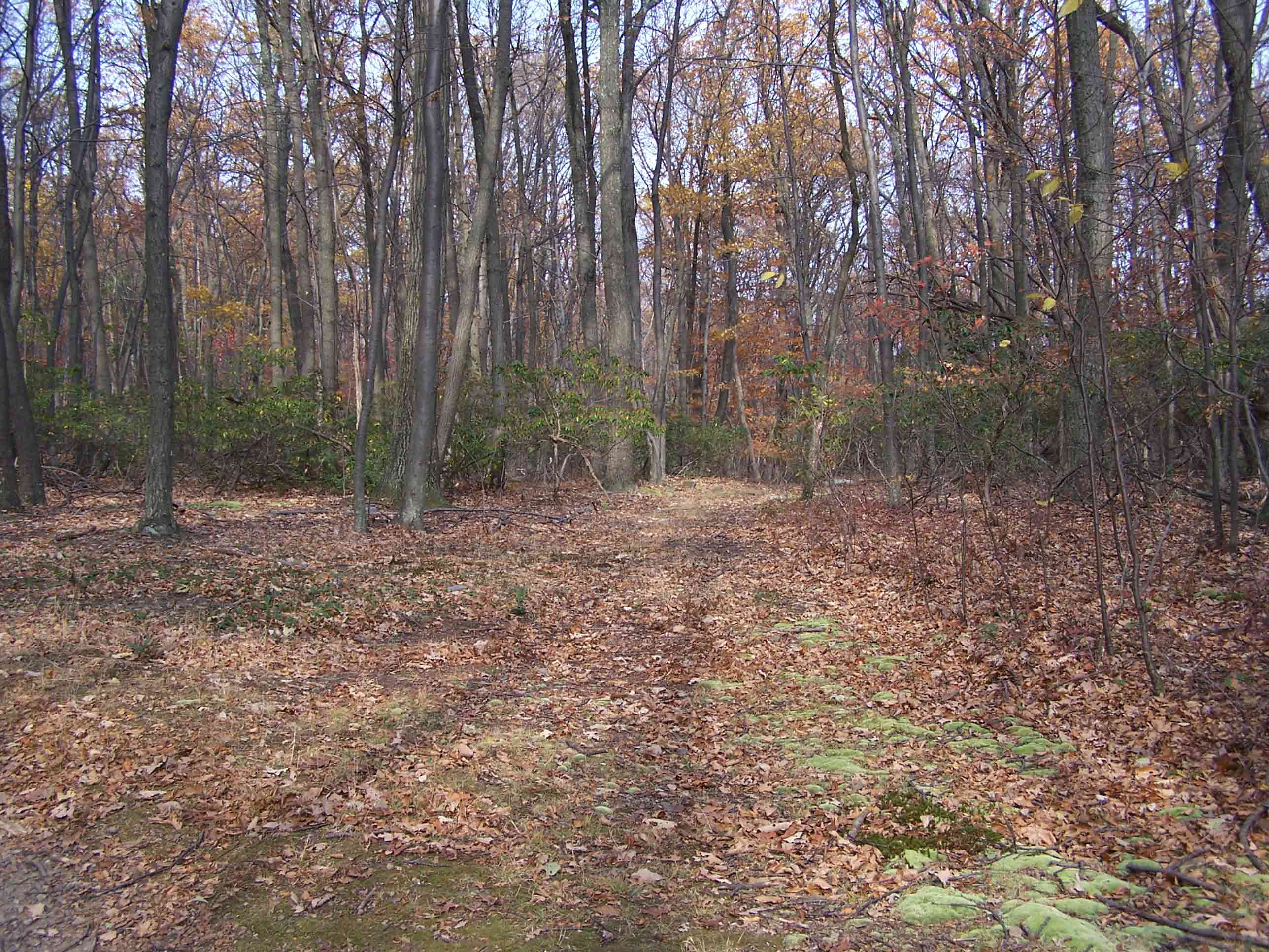
mm 7.6 - AT intersection with woods road
Submitted by at @ rohland.org
mm 7.6 The trail reaches a local high point near the summit of
Pine Knob. From here the southbound trail begins the descent to US 40 near
I-77. For almost all of the southern 3 miles of this section, the trail follows an old road. This late afternoon shot was probably taken at the same place as the previous picture. For scale, note the people in the center of the picture.
Submitted by dlcul @ conncoll.edu
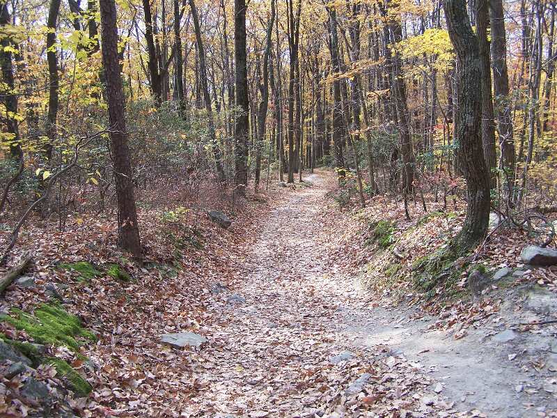
Trail picture
Submitted by at @ rohland.org
Fall color on the southbound descent to US 40. Taken at
approx. mm 7.9
Submitted by dlcul @ conncoll.edu