MD Section 6 Pictures - Milemarker 3.7 - 6.7
Ed Garvey Shelter - Weverton Road
Move your mouse across the pictures for more information.
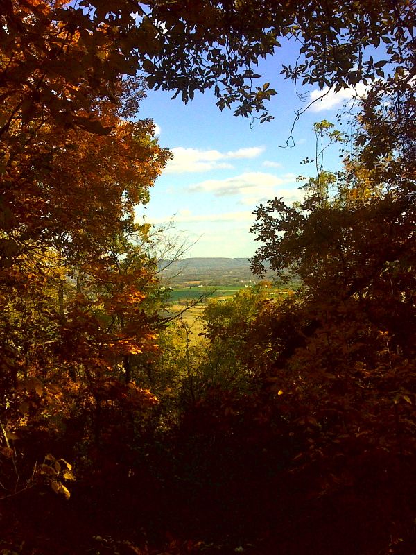
mm 3.7 View from Ed Garvey Shelter. GPS N39.3598 W 77.6620
Submitted by pjwetzel @ gmail.com
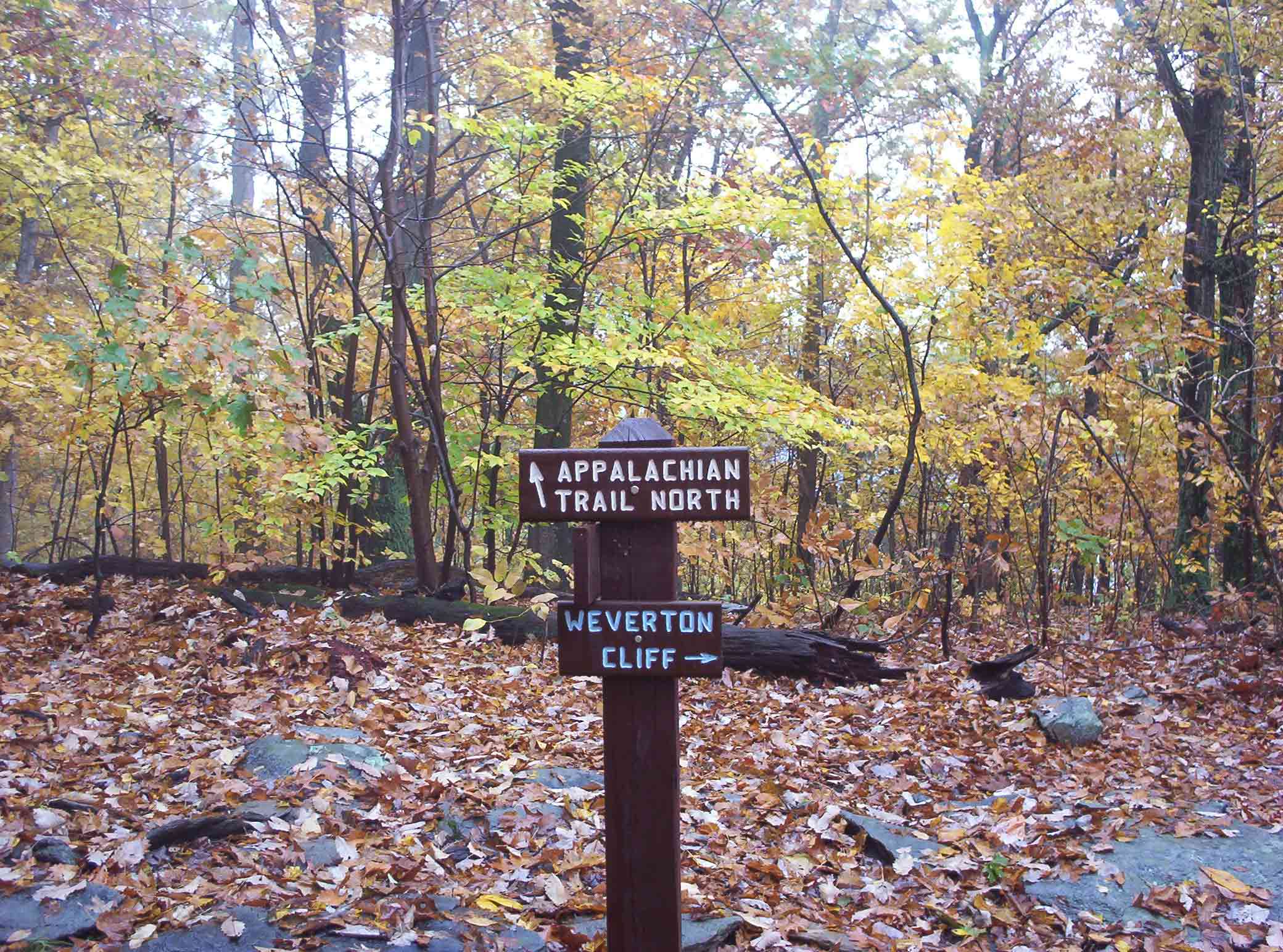
mm 5.8 - Blue blazed trail to Weverton Cliffs
Submitted by at @ rohland.org

mm 5.8 - Weverton Cliff - Potomac River
Submitted by maejake @ yahoo.com
mm 5.8 - View to the west towards Harpers Ferry. The river is the Potomac. The day was very mild for March, but unfortunately hazy.
Submitted by dlcul @ conncoll.edu
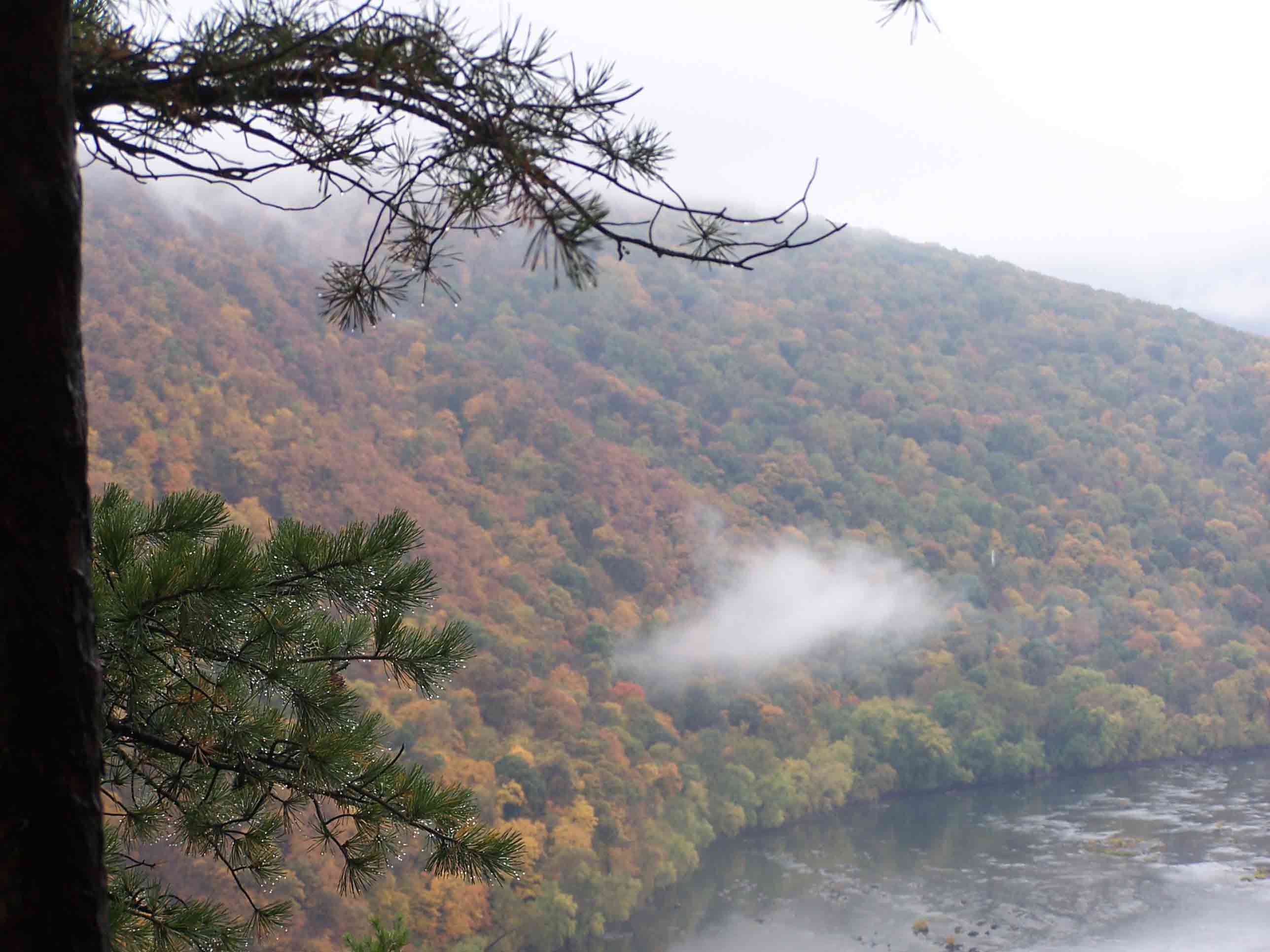
mm 5.8 - Weaverton Cliffs
Submitted by at @ rohland.org
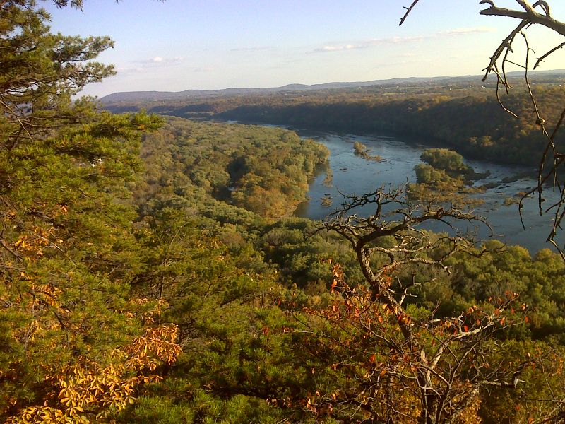
mm 5.8 View to southeast from Weverton cliffs. GPS N39.3320 W 77.6765
Submitted by pjwetzel @ gmail.com
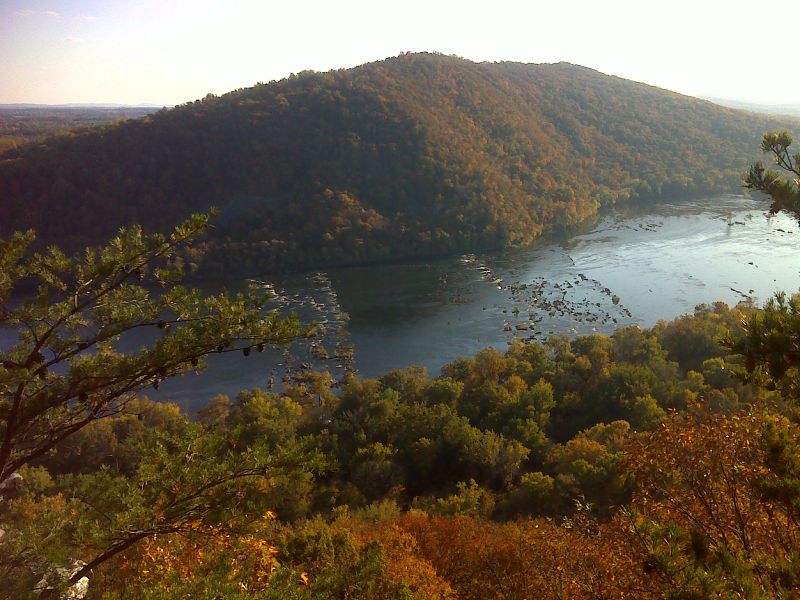
mm 5.8 Potomac River from Weverton cliffs. GPS N39.3320 W 77.6766
Submitted by pjwetzel @ gmail.com
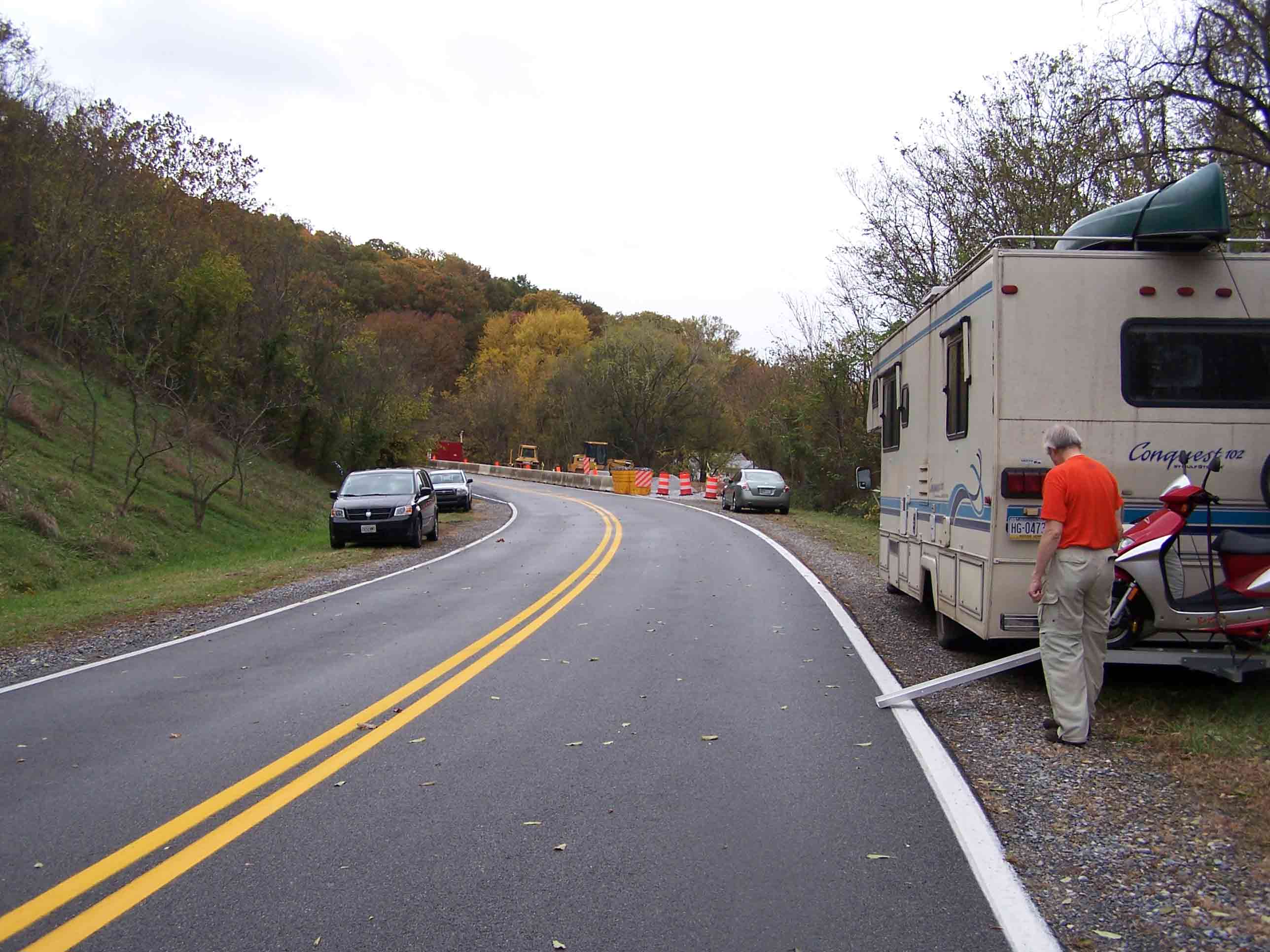
mm 6.7 - Parking at Weverton Road
Submitted by at @ rohland.org