MD Section 7 Pictures - Milemarker 2.0 - 3.0
C & O Towpath
Move your mouse across the pictures for more information.
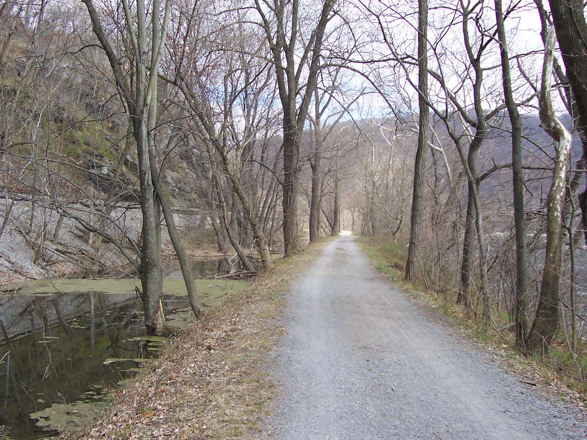
Chesapeake and Ohio canal towpath (AT). Canal remnants are on left, Potomac River on right.
Submitted by dlcul @ conncoll.edu
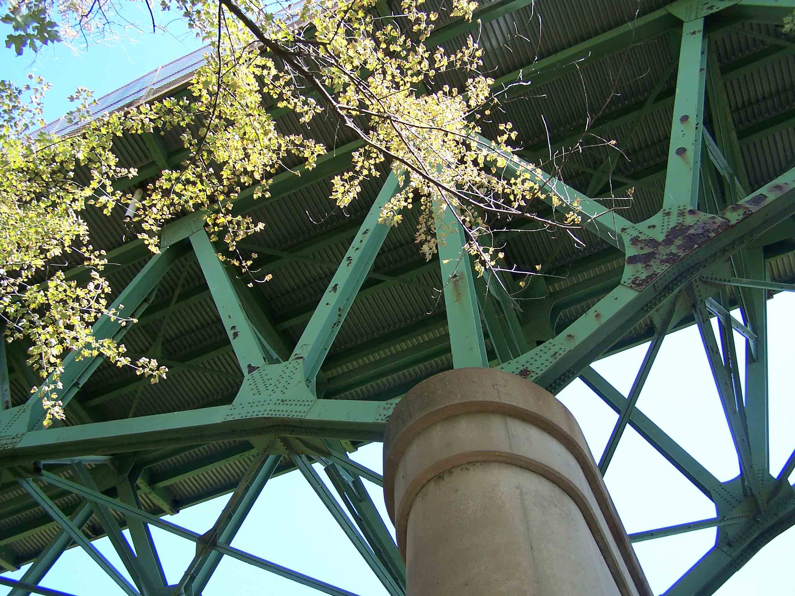
mm 2.0 - Cross under Sandy Hook Bridge which carries US 340 across the Potomac. The unmarked blue-blazed Loudoun Heights Trail is to the left.
Submitted by at @ rohland.org
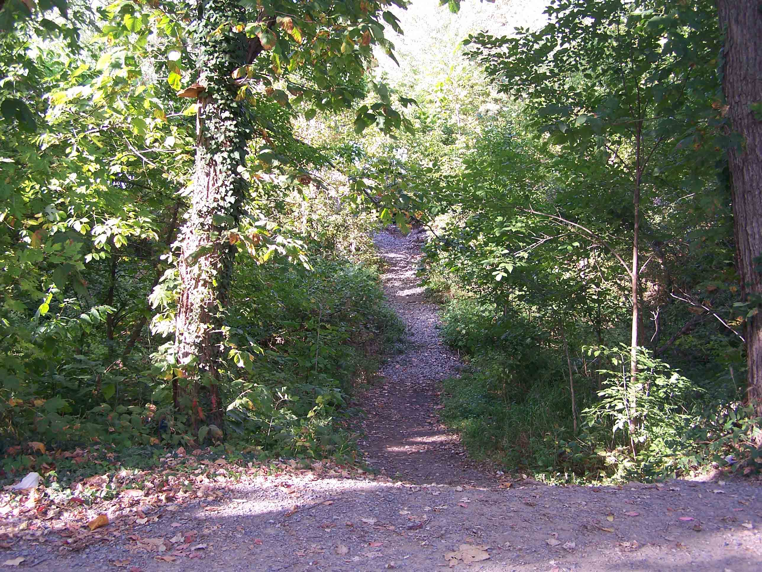
mm 2.0 Unmarked blue-blazed Loudoun Heights Trail
Submitted by at @ rohland.org
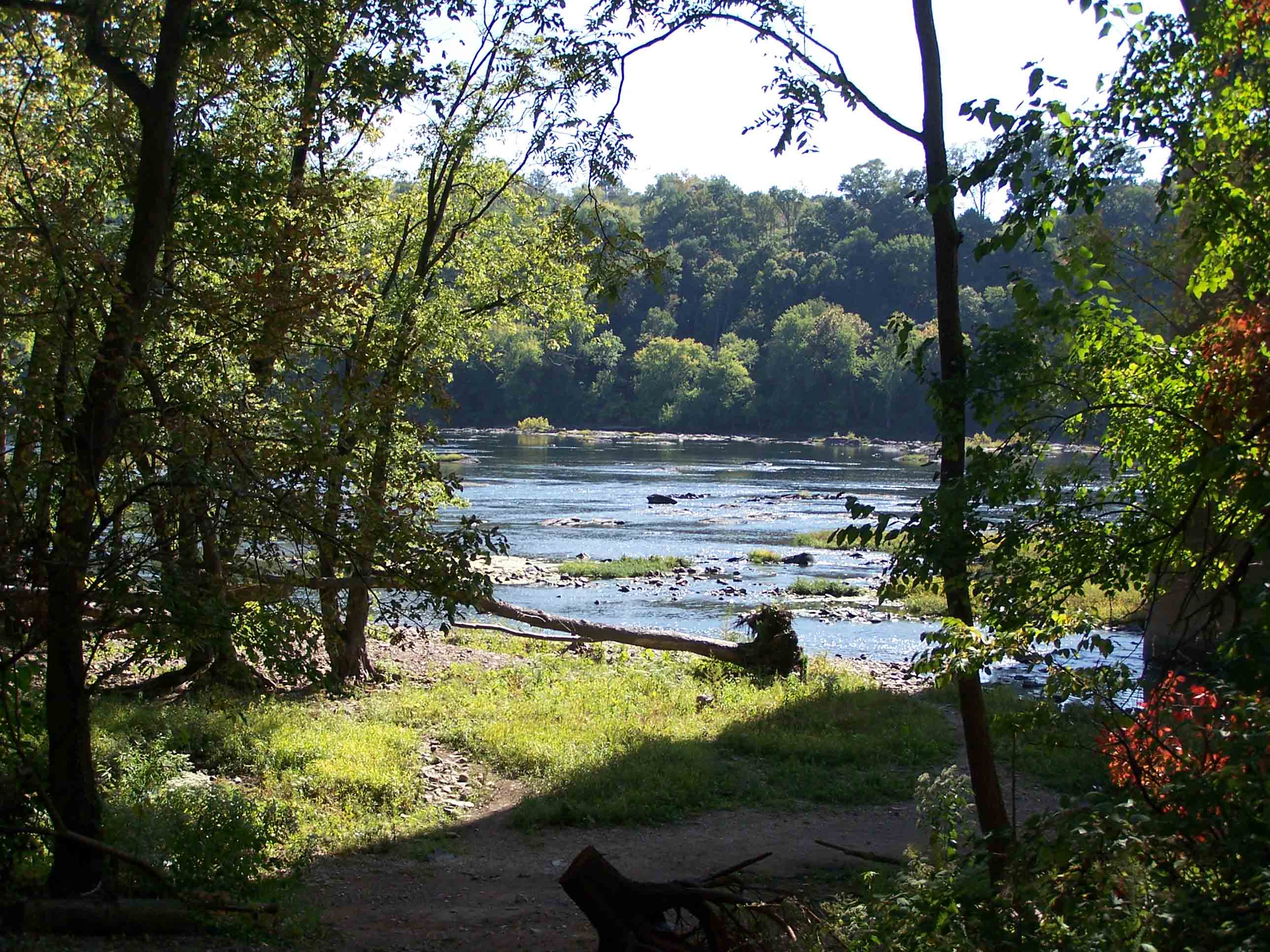
Grassy area along the Potomac River that can NOT be used for a campground. There is NO camping in this section. The river is polluted.
Submitted by at @ rohland.org
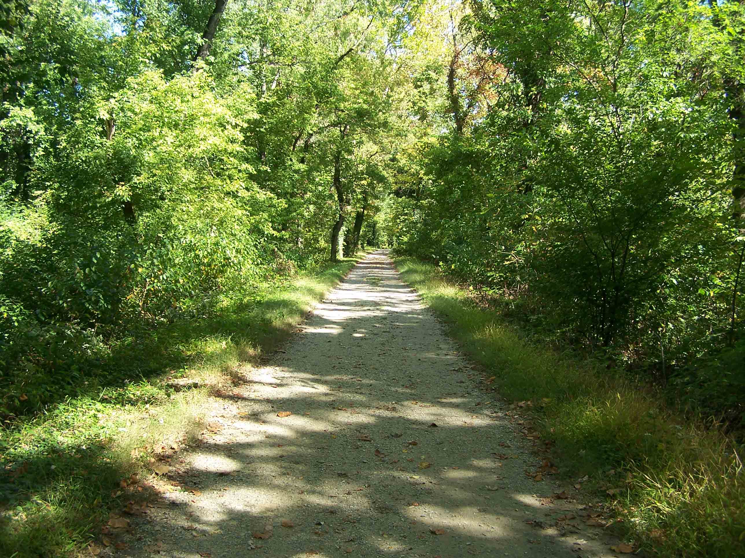
AT follows towpath along Chesapeake and Ohio canal.
Submitted by at @ rohland.org
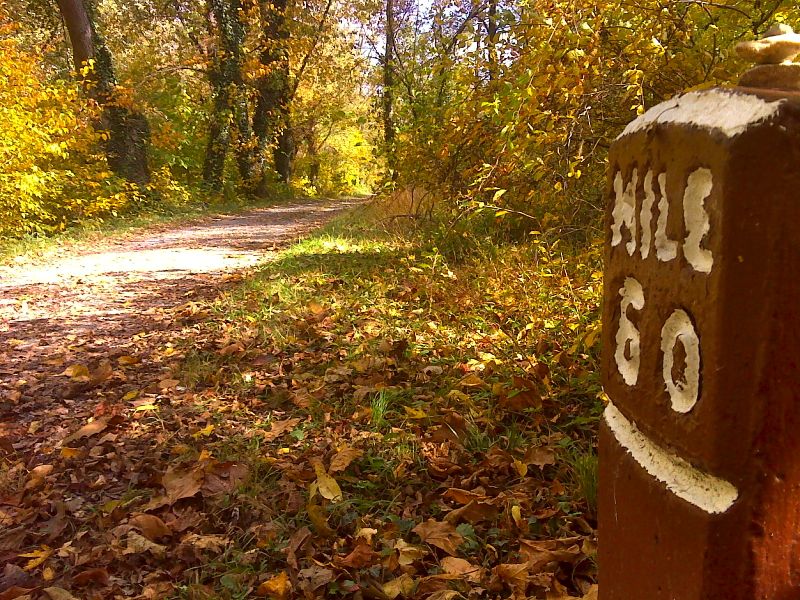
Milepost 60 on the C and O Canal towpath which the AT follows just trail north of Harpers Ferry. GPS N39.3248 W77.7141
Submitted by pjwetzel @ gmail.com
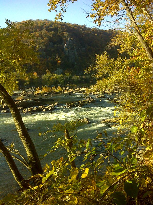
Potomac River and Loudon Heights. GPS N39.3242 W77.7173
Submitted by pjwetzel @ gmail.com
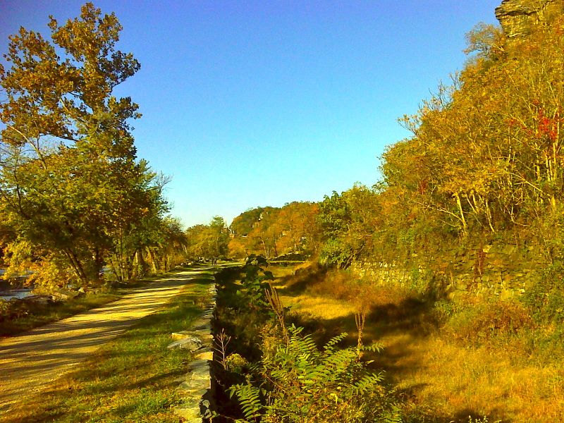
The southbound trail, here following the C and O canal towpath, approaches Harpers Ferry. Taken at approx. mm 3.0. GPS N39.3236 W77.7230
Submitted by pjwetzel @ gmail.com