ME Section 1 Pictures - Milemarker 0.0 - 2.1
Katahdin Summit - Hunt Spur
Move your mouse across the pictures for more information.
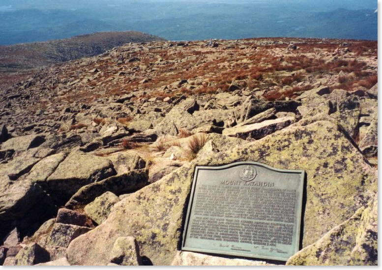
mm 0.0 - From the memorial plaque on Katahdin you are looking down the AT on its first (last) mile towards the Tablelands below.
Submitted by askus3 @ optonline.net
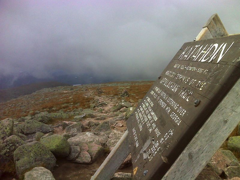
mm 0.0 Katahdin summit sign and the first white blazes southbound. GPS N45.9044 W 68.9214
Submitted by pjwetzel @ gmail.com
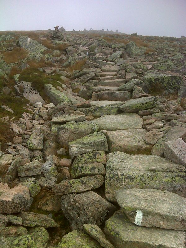
The northbound trail approaches its terminus at the summit of Katahdin. GPS N45.9042 W68.9231
Submitted by pjwetzel @ gmail.com
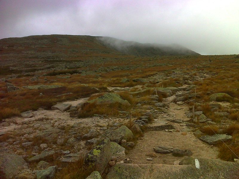
A view of the summit of Katahdin opens up. GPS N45.8943 W68.9359
Submitted by pjwetzel @ gmail.com
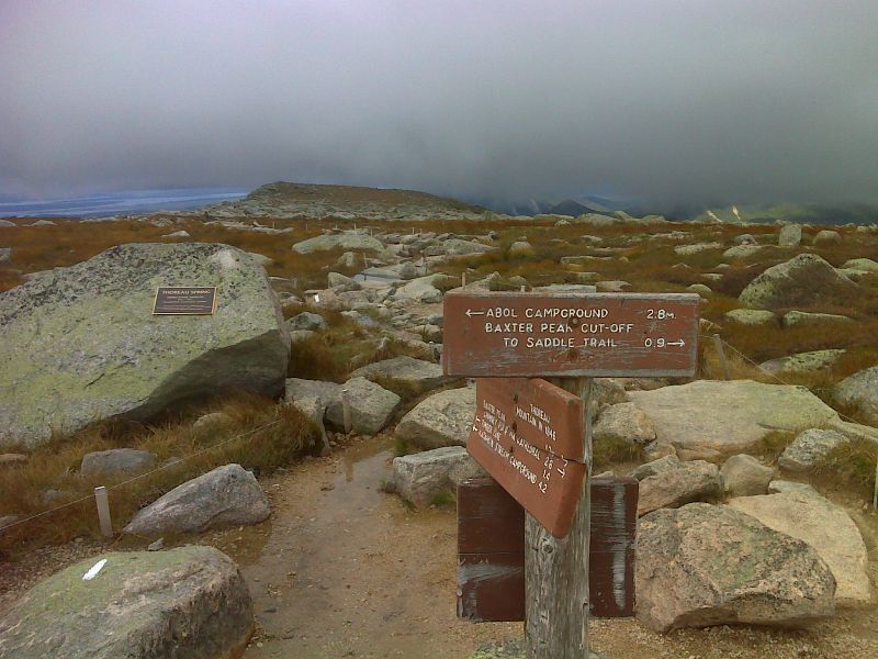
mm 1.0 Thoreau Spring. GPS N45.8932 W68.9366
Submitted by pjwetzel @ gmail.com
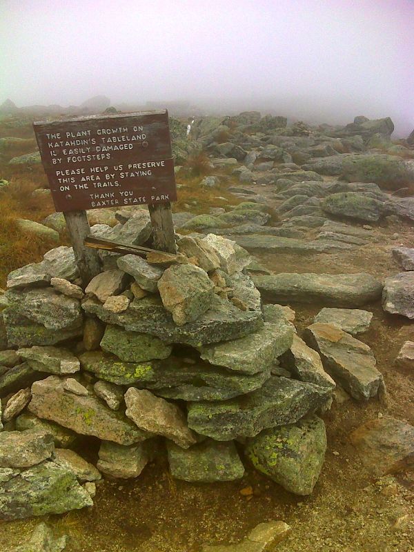
mm 1.6 The Gateway. GPS N45.9001 W68.9471
Submitted by pjwetzel @ gmail.com
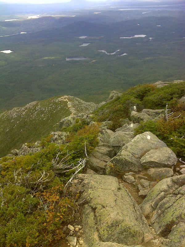
mm 1.6 View down the Hunt Spur which the AT follows. GPS N45.9000 W68.9470
Submitted by pjwetzel @ gmail.com
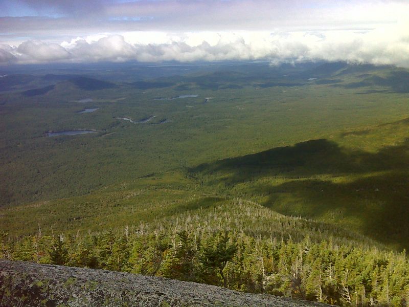
View to the west from Hunt Spur. Grassy Pond and the many other ponds in the area are visible. GPS N45.8981 W68.9571
Submitted by pjwetzel @ gmail.com