ME Section 1 Pictures - Milemarker 2.4 - 5.2
Boulders on Hunt Spur - Katahdin Stream Campground
Move your mouse across the pictures for more information.
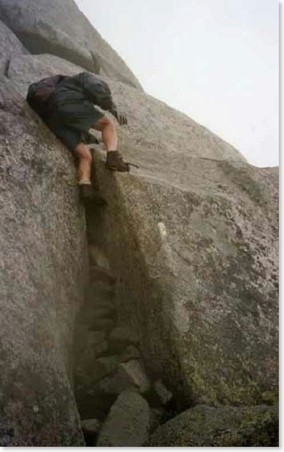
This is a precariously steep and tricky descending spot on the Hunt Trail (AT) as it comes down off Mt. Katahdin. Sept. 3, 2002.
Submitted by askus3 @ optonline.net
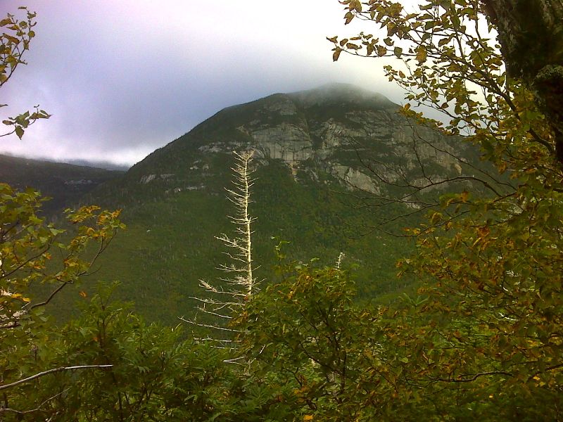
The Owl GPS N45.8987 W68.9590
Submitted by pjwetzel @ gmail.com
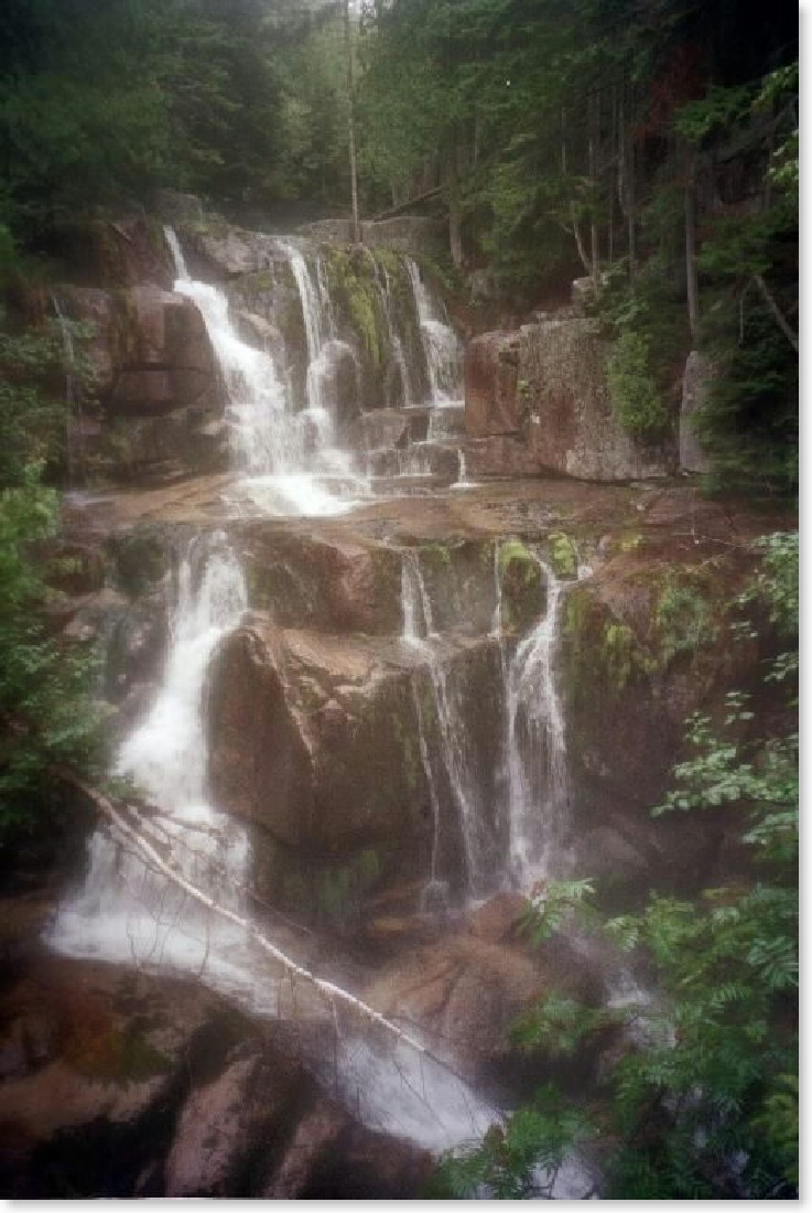
mm 4.0 - Going further down Mt. Katahdin on the AT, about one mile from the first AT access point (Katahdin Stream Campground) is Katahdin Stream Falls. Sept. 3, 2002.
Submitted by askus3 @ optonline.net

mm 4.1 Katahdin Stream footbridge. GPS N45.8956 W68.9837
Submitted by pjwetzel @ gmail.com
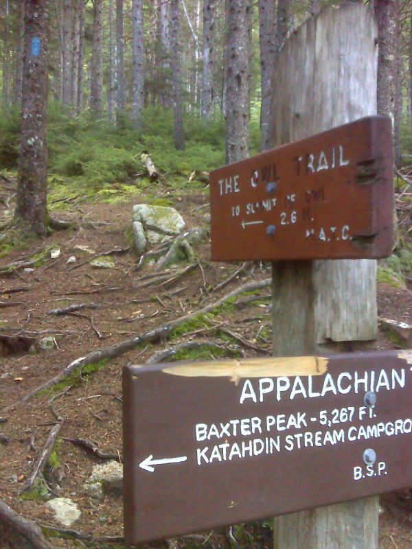
mm 4.2 Junction with the Owl Trail. GPS 45.8960 W68.9843
Submitted by pjwetzel @ gmail.com
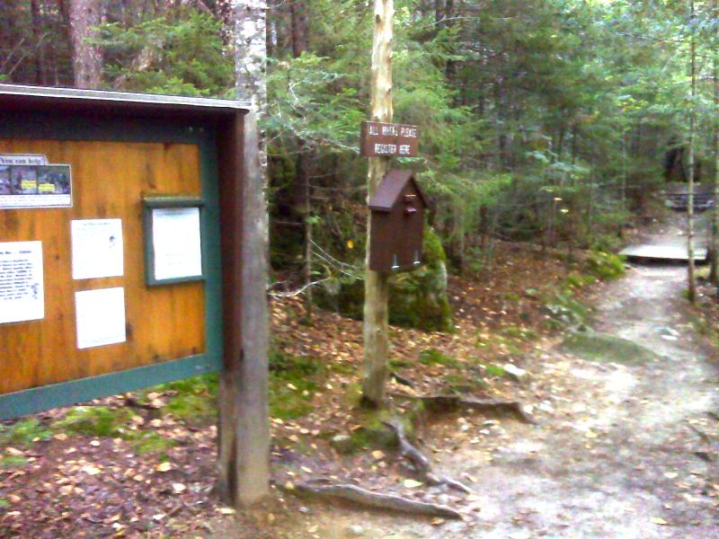
mm 5.2 Trail registration station at Katahdin Stream Campground. Here the northbound AT begins its ascent of Katahdin via the Hunt Trail.GPS 45.8886 W68.9994
Submitted by pjwetzel @ gmail.com
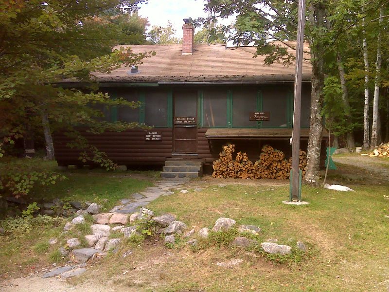
mm 5.2 Katahdin Stream Ranger Station. GPS N45.8874 W68.9986
Submitted by pjwetzel @ gmail.com
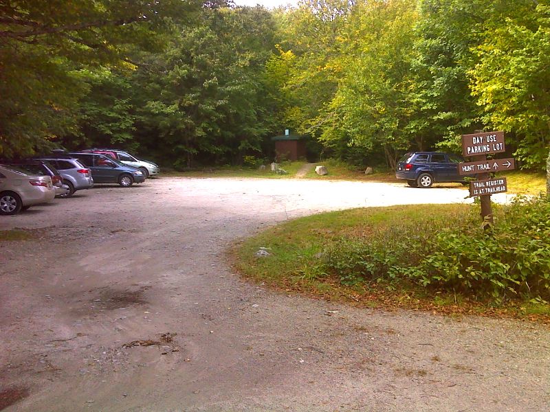
mm 5.2 Day use parking area at Katahdin Stream Campground. GPS N45.8872 W68.9998
Submitted by pjwetzel @ gmail.com