ME Section 1 Pictures - Milemarker 5.2 - 6.2
Birches Campsite - Outlet of Tracy Pond
Move your mouse across the pictures for more information.
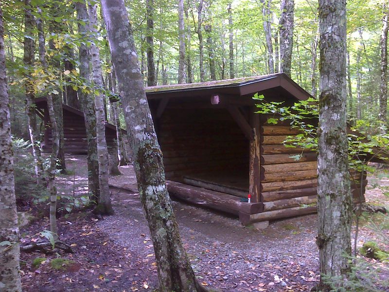
mm 5.2 Lean-tos at the Birches campsite. This area is reserved for thru- and long distance hikers. GPS N45.8856 W69.9936
Submitted by pjwetzel @ gmail.com
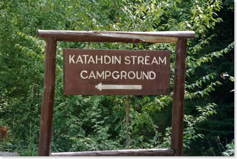
mm 5.3 - Here is the sign for Katahdin Stream Campground you should look for 8 miles up the Baxter Park Road from the Togue Pond Gate. You make a right turn here to go into the parking lot and access for your climb up Mt. Katahdin.
Submitted by askus3 @ optonline.net
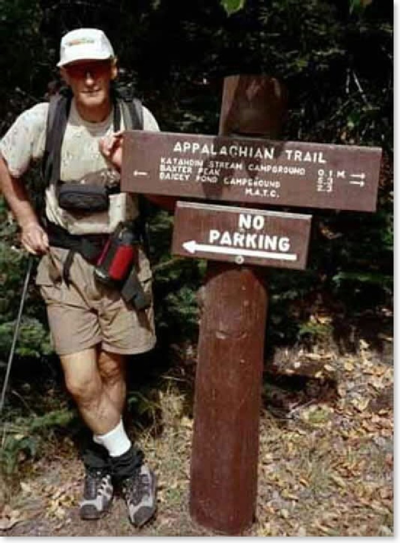
mm 5.3 - This trail sign is at the junction of the entrance road to Katahdin Stream Campground with the Baxter Park Road. You must drive in the .1 mile into the Campground for parking. Do not park at the junction as the sign says.
Submitted by askus3 @ optonline.net
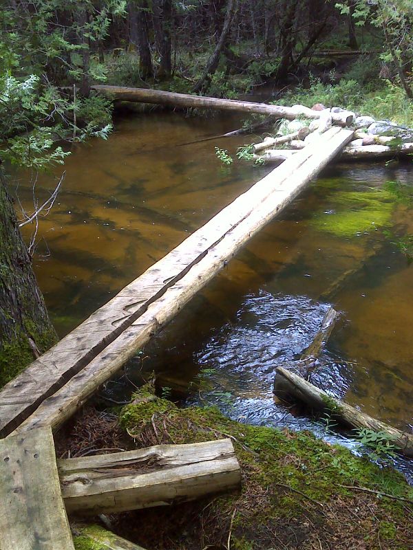
Footbridge over Katahdin Stream on new reroute. Taken in Sept. 2012. GPS N45.8807 W69.0024
Submitted by pjwetzel @ gmail.com
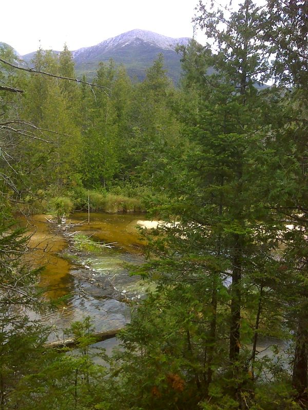
Katahdin and Kathadin Stream from below Grassy Pond. Taken in Sept. 2012. GPS N45.8821 W69.0041
Submitted by pjwetzel @ gmail.com
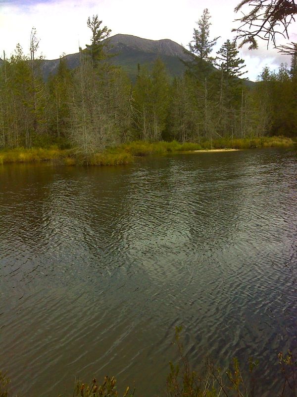
Katahdin from new reroute near Grassy Pond. Taken in Sept. 2012. GPS N45.8822 W69.0047
Submitted by pjwetzel @ gmail.com
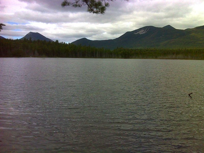
Grassy Pond GPS N45.8819 W69.0068
Submitted by pjwetzel @ gmail.com
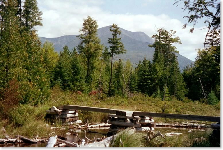
mm 6.2 - the AT crosses the outlet of Tracy Pond. Here is this beautiful view back to Mt. Katahdin. Update: Due to a recent reroute, this point may no longer be on the AT.
Submitted by askus3 @ optonline.net