ME Section 1 Pictures - Milemarker 7.0 - 9.6
Daicey Pond - Upper End of High Water Bypass
Move your mouse across the pictures for more information.
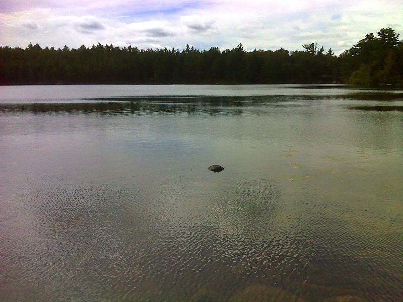
mm 7.0 Daicey Pond. GPS N45.8831 W69.0270
Submitted by pjwetzel @ gmail.com
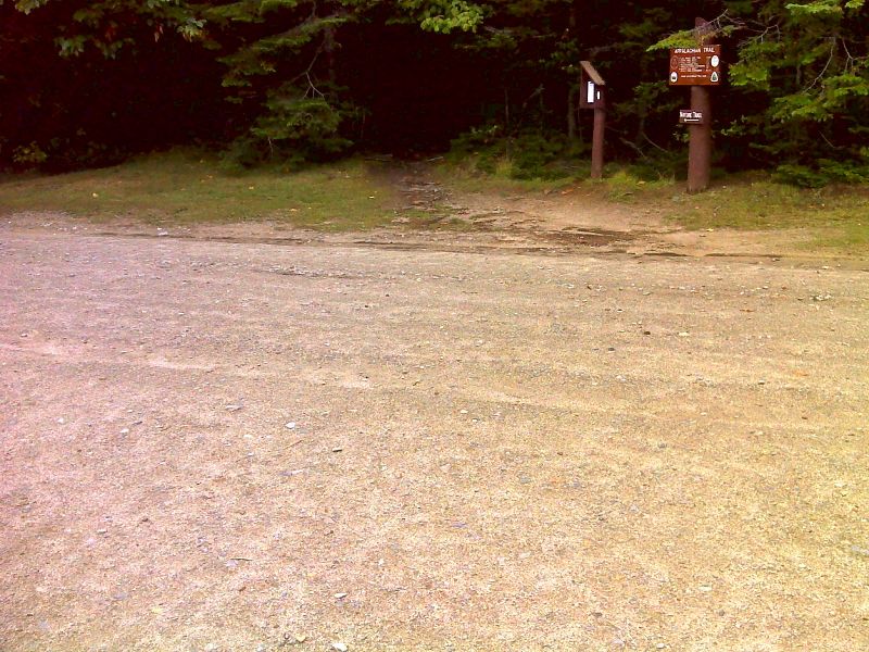
mm 7.6 Parking and trail crossing at Daicey Pond Road. GPS N45.8824 W69.0317
Submitted by pjwetzel @ gmail.com
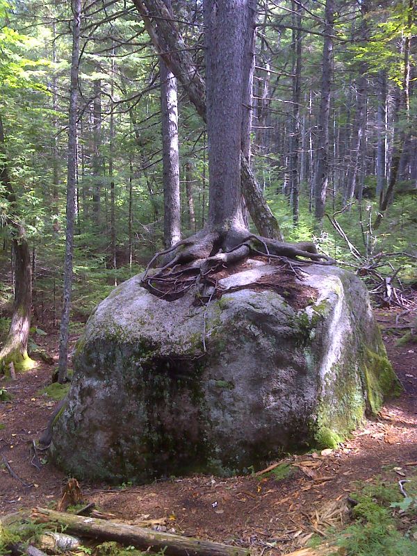
Tree growing on solid rock. GPS N45.8753 W69.0351
Submitted by pjwetzel @ gmail.com
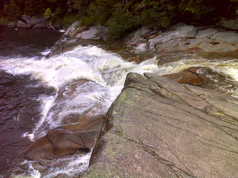
mm 8.5 Little Niagara Falls. GPS N45.8724 W69.0393
Submitted by pjwetzel @ gmail.com
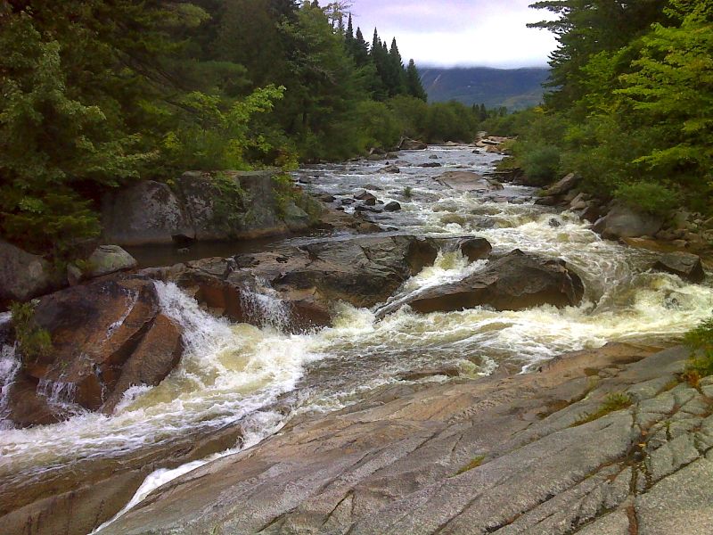
mm 8.5 View upstream from Little Niagara Falls. GPS N45.8724 W69.0393
Submitted by pjwetzel @ gmail.com
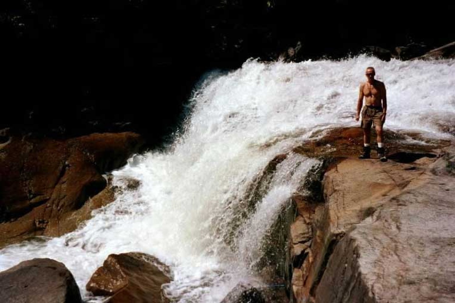
At MM 8.8 is Big Niagara Falls. This photo was taken Sept. 7, 2002.
Submitted by askus3 @ optonline.net
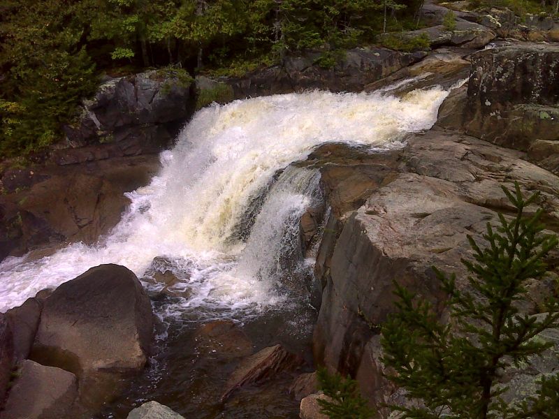
mm 8.8 Another view of Big Niagara Falls. GPS N45.8694 W69.0372
Submitted by pjwetzel @ gmail.com
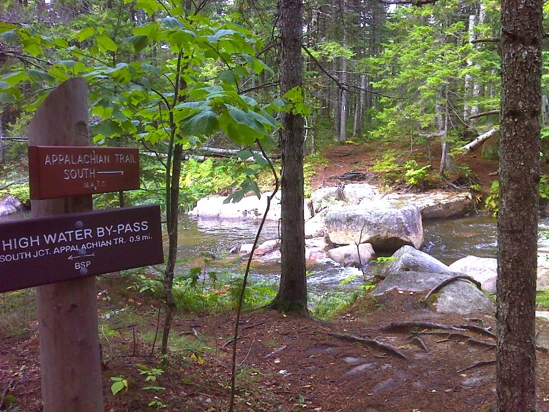
mm 9.6 Upper end of High Water Bypass. The ford of of the upper branch of Nesowadnehunk Stream can be seen just behind. GPS N45.8597 W69.0323
Submitted by pjwetzel @ gmail.com