ME Section 1 Pictures - Milemarker 10.0 - 14.4
Nesowadnehunk Stream - Abol Stream
Move your mouse across the pictures for more information.
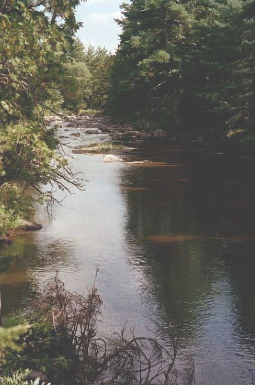
In the vicinity of MM 10 is this pleasant view of Nesowadnehunk Stream. The AT parallels this stream for approximately 2 miles.
Submitted by askus3 @ optonline.net
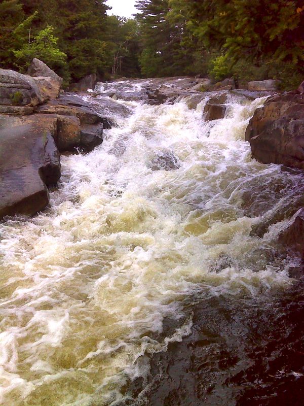
Cascade on the main branch of the Nesowadnehunk Stream just above the lower ford. GPS N45.8533 W69.0245
Submitted by pjwetzel @ gmail.com
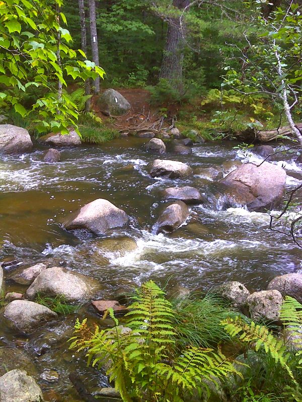
mm 10.6 Ford of lower branch of Nesowadnehunk Stream. GPS N45.8529 W69.0218
Submitted by pjwetzel @ gmail.com
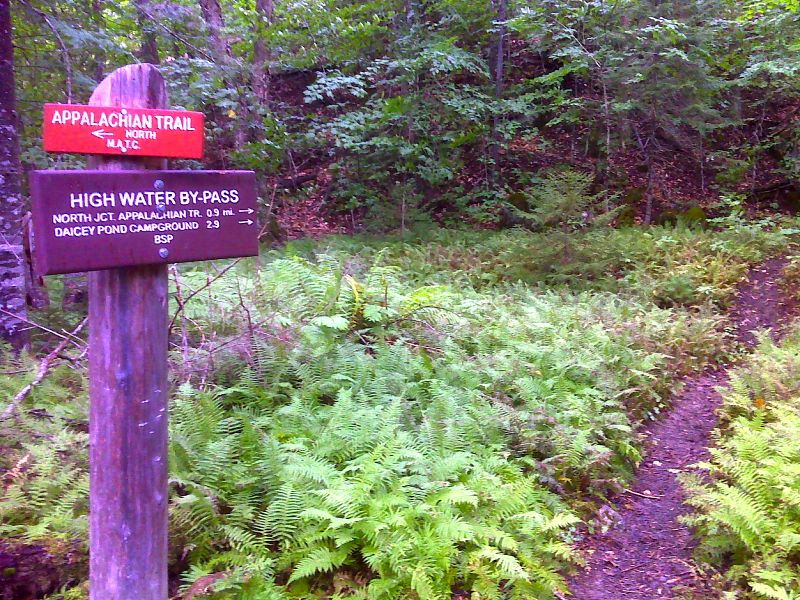
Lower end of High Water Bypass. GPS N45.8535 W69.0211
Submitted by pjwetzel @ gmail.com
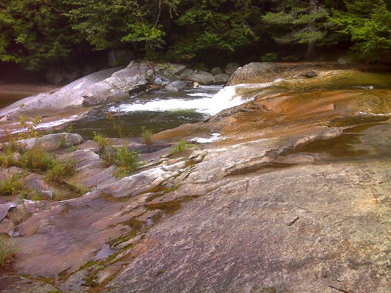
Flume near merge of Nesowadnehunk Stream and the West Branch of the Penobscot River. GPS N45.8492 W69.0209
Submitted by pjwetzel @ gmail.com
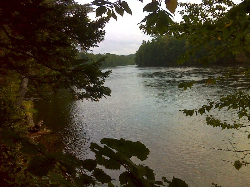
Trail closely follow the West Branch of the Penobscot River. GPS N45.8472 W69.0171
Submitted by pjwetzel @ gmail.com
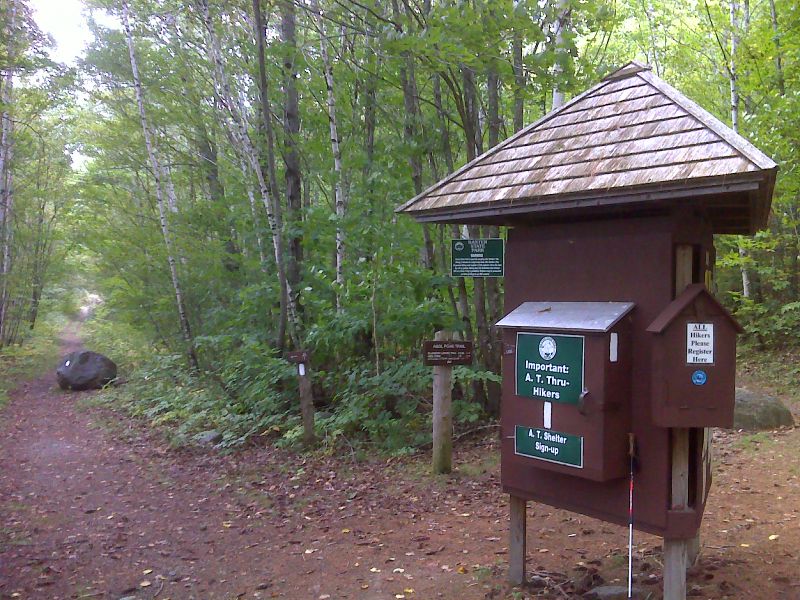
Baxter State Park kiosk near Abol Bridge. GPS N45.8393 W68.9645
Submitted by pjwetzel @ gmail.com
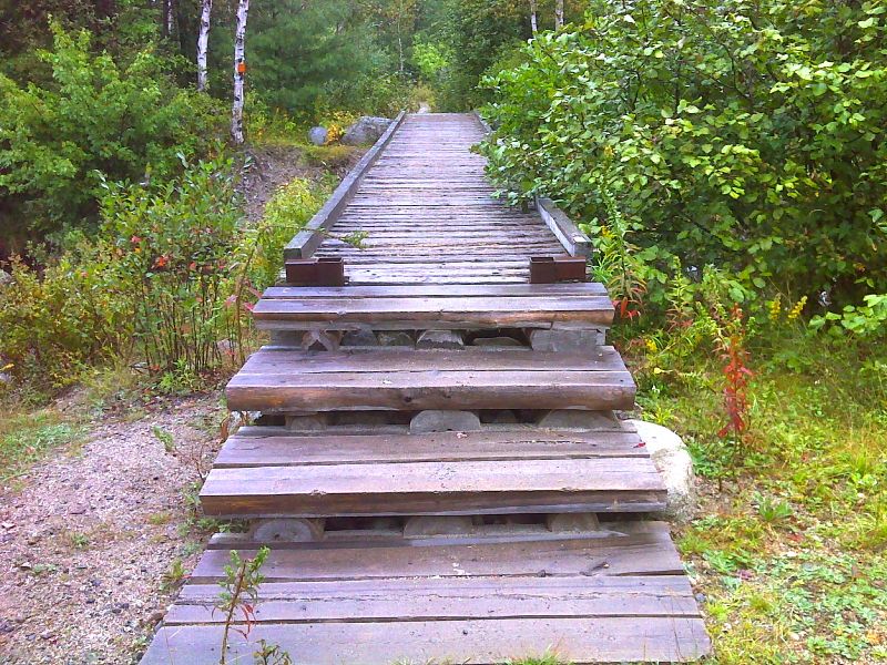
mm 14.4 Footbridge across Abol Stream. GPS N45.8580 W68.9613
Submitted by pjwetzel @ gmail.com