ME Section 1 Pictures - Milemarker 30.0 - 33.5
Lower Rainbow Deadwaters - Pollywog Gorge
Move your mouse across the pictures for more information.
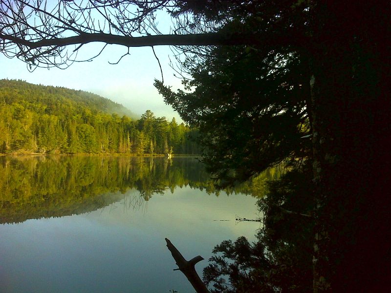
Lower Rainbow Deadwaters. Taken at approx. mm 30.0. GPS N45.8105 W69.1702
Submitted by pjwetzel @ gmail.com
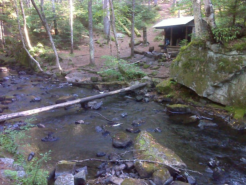
mm 30.1 Footbridge across Rainbow Stream. Rainbow Stream Lean-to is on the other side. GPS N45.7993 W69.1707
Submitted by pjwetzel @ gmail.com
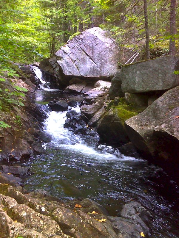
Cascade and boulders on Rainbow Stream. GPS N45.7912 W69.1637
Submitted by pjwetzel @ gmail.com
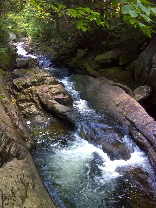
Long flume on Rainbow Stream. GPS N45.7811 W69.1642
Submitted by pjwetzel @ gmail.com
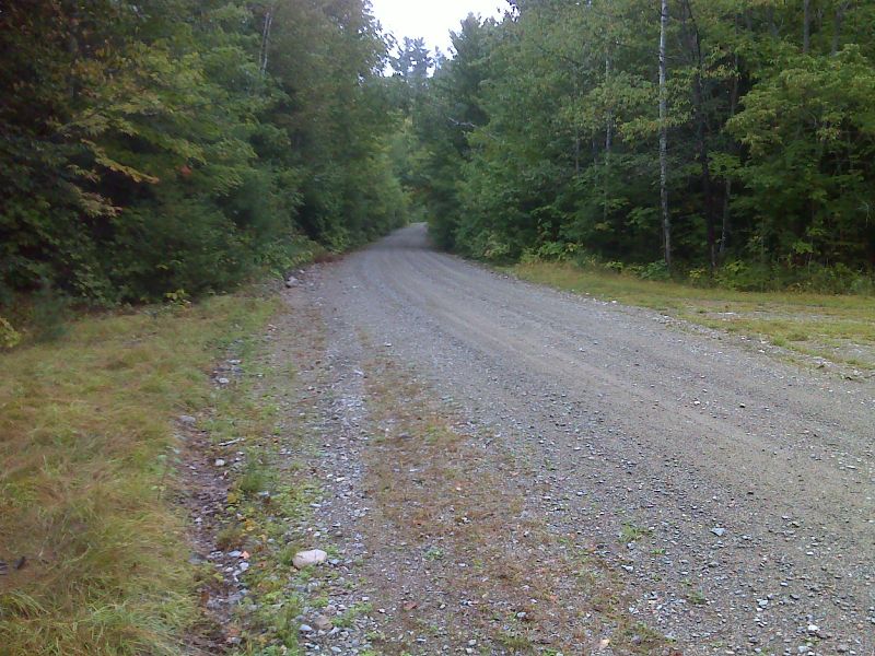
mm 32.5 Parking near Pollywog Stream Bridge. GPS N45.7787 W69.1738
Submitted by pjwetzel @ gmail.com
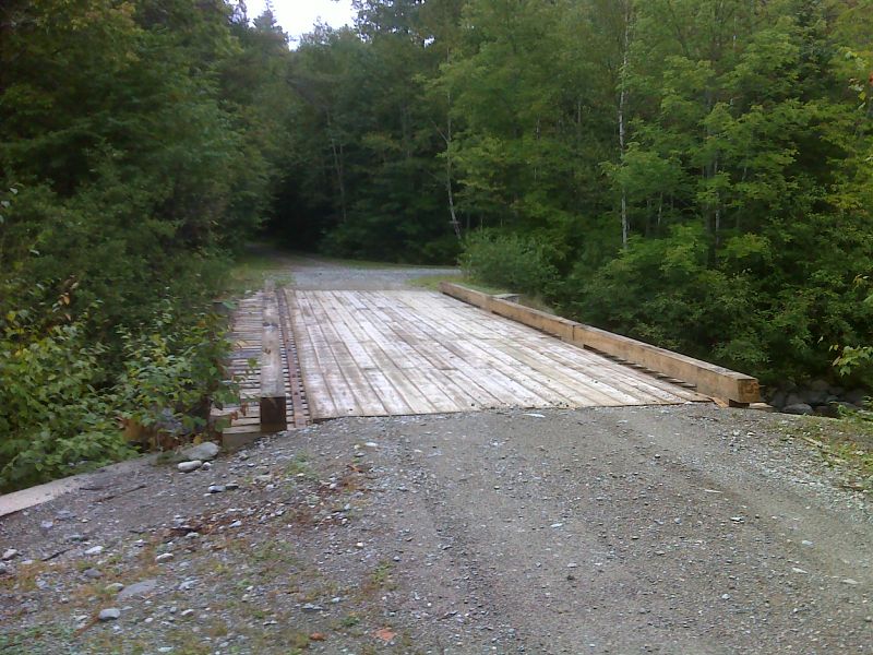
mm 32.5 The AT crosses Pollywog Stream Bridge. GPS N45.7794 W69.1728
Submitted by pjwetzel @ gmail.com
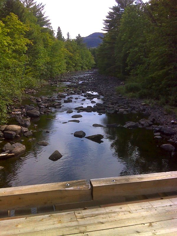
mm 32.5 Pollywog Stream from bridge. The north summit of Nesuntabunt Mt. is in background. GPS N45.7795 W69.1726
Submitted by pjwetzel @ gmail.com
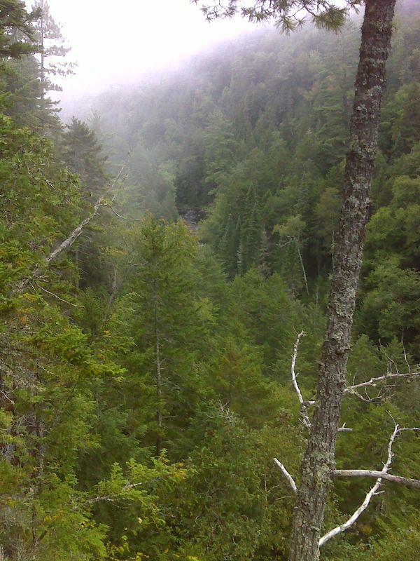
mm 33.5 Pollywog Gorge. GPS N45.7739 W69.1851
Submitted by pjwetzel @ gmail.com