ME Section 2 Pictures - Milemarker 6.9 - 12.3
Viewpoint on Pemadumcook Lake - Mud Pond
Move your mouse across the pictures for more information.
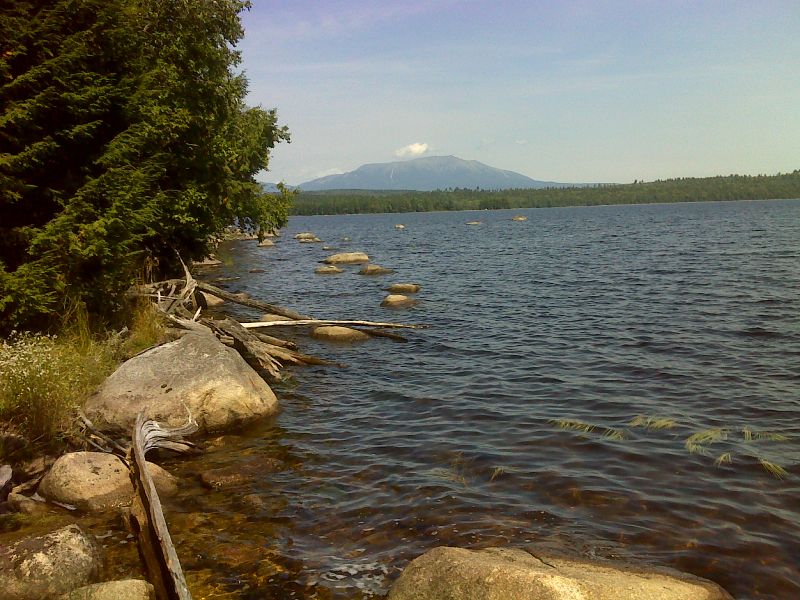
mm 6.9 Another view of Katahdin from viewpoint on Pemadumcook Lake. GPS N45.7140 W 69.0181
Submitted by pjwetzel @ gmail.com
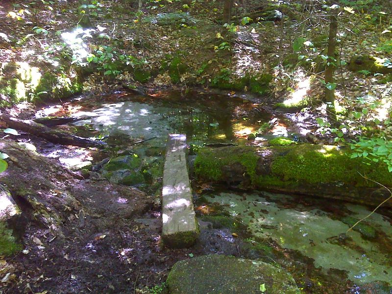
mm 7.5 Potaywadjo Spring. GPS N45.7068 W69.0084
Submitted by pjwetzel @ gmail.com
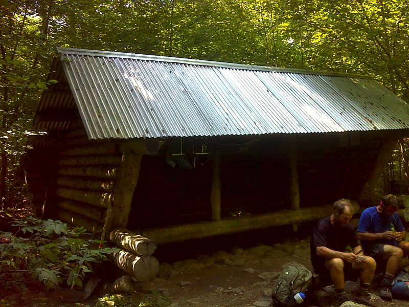
mm 7.5 Potaywadjo Spring Lean-to. GPS N45.7063 W69.0073
Submitted by pjwetzel @ gmail.com
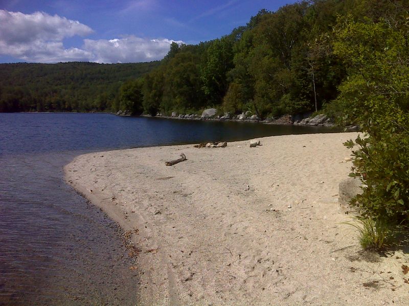
mm 9.3 Wide sand beach on Lower Jo-Mary Lake. GPS N45.6854 W69.0125
Submitted by pjwetzel @ gmail.com

mm 10.0 - Early morning at Antlers Campsite on Jo-Mary Lake
Submitted by dlcul @ conncoll.edu
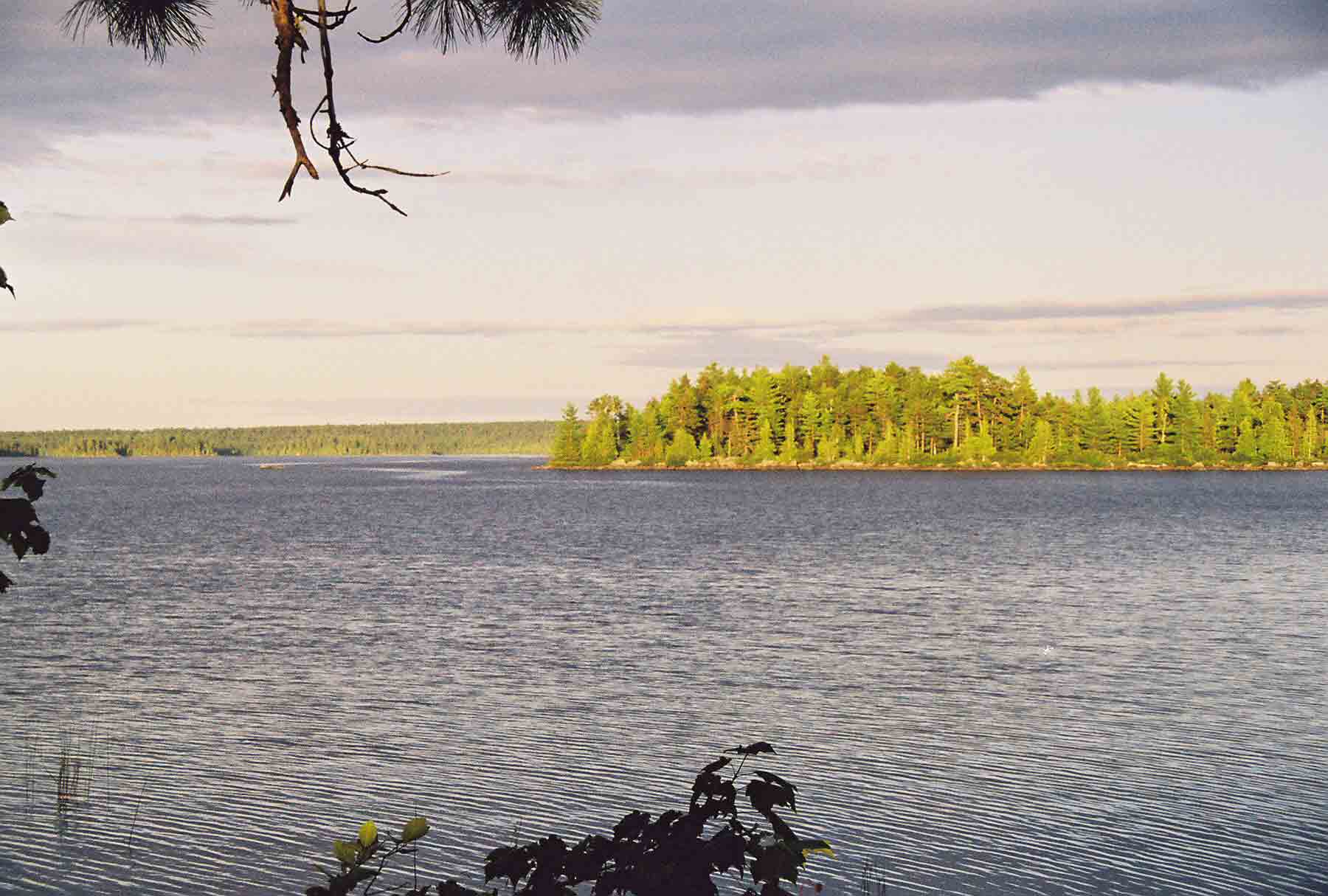
mm 10.0 - Early morning view east over Jo-Mary Lake from Antlers Campsite
Submitted by dlcul @ conncoll.edu
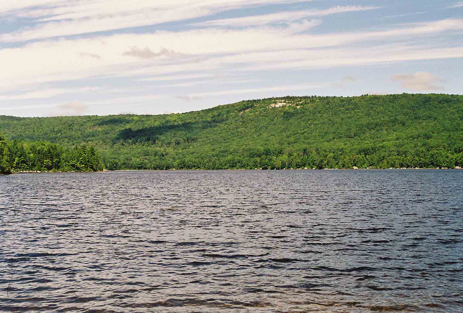
mm 10.0 - Looking west across Jo-Mary Lake from Antlers Campsite. The AT runs along the far shore.
Submitted by dlcul @ conncoll.edu
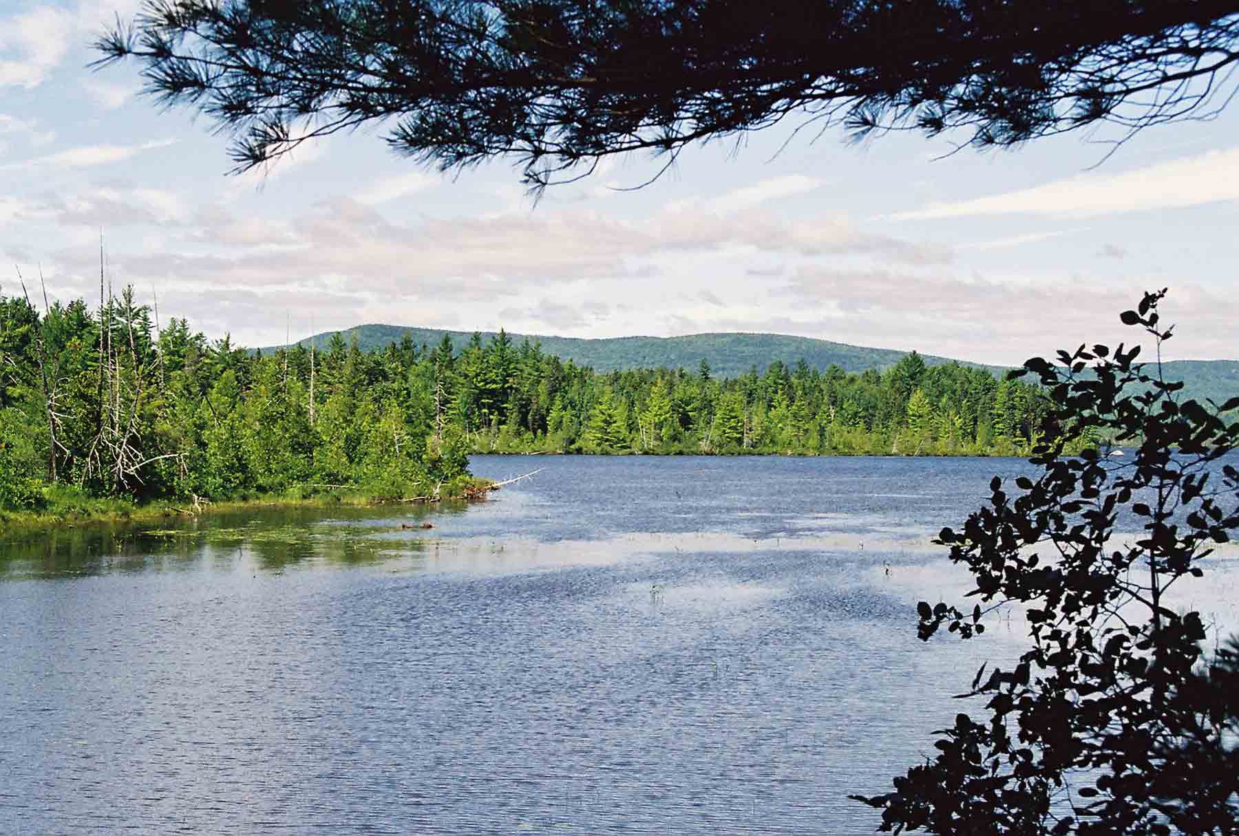
12.3 - Mud Pond. This is north of Jo-Mary Road and south of Jo-Mary Lake.
Submitted by dlcul @ conncoll.edu