ME Section 2 Pictures - Milemarker 26.3 - 31.6
Slopes of Big Boardman Mountain - Steps on North Side of Whitecap Mt.
Move your mouse across the pictures for more information.

View of White Cap from slopes of Big Boardman Mt. GPS N45.6019 W69.1857
Submitted by pjwetzel @ gmail.com
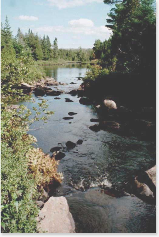
At MM 26.7, the AT fords the East Branch of the Pleasant River. Here is a view east from that crossing.
Submitted by askus3 @ optonline.net
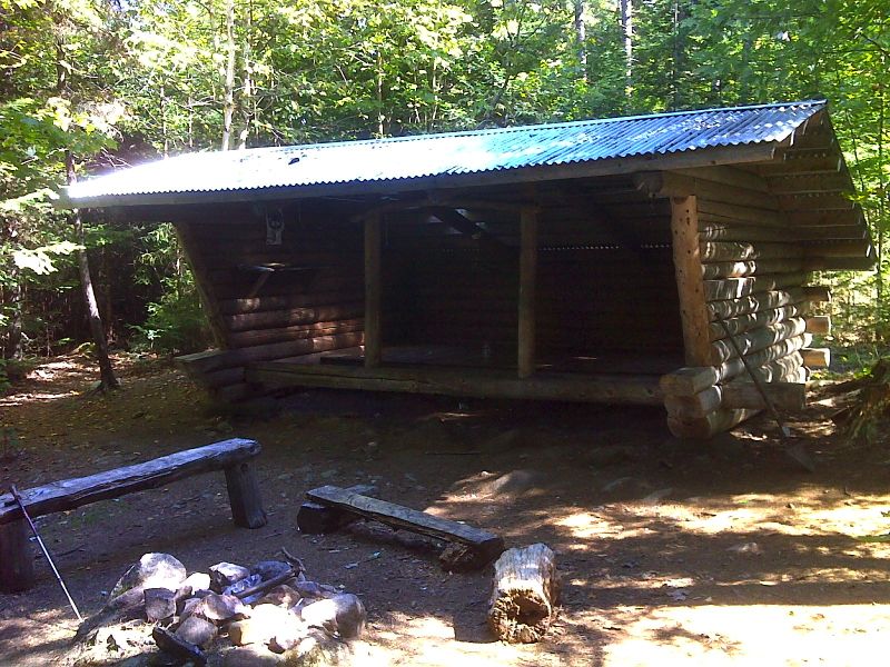
mm 27.0 East Branch Lean-to (AKA Pleasant River East Lean-to). GPS N45.5968 W69.1982
Submitted by pjwetzel @ gmail.com
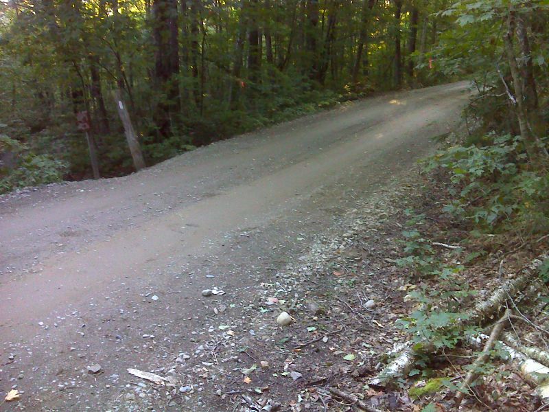
mm 29.0 Logan Brook Road Crossing. GPS N45.5787 W69.2249
Submitted by pjwetzel @ gmail.com
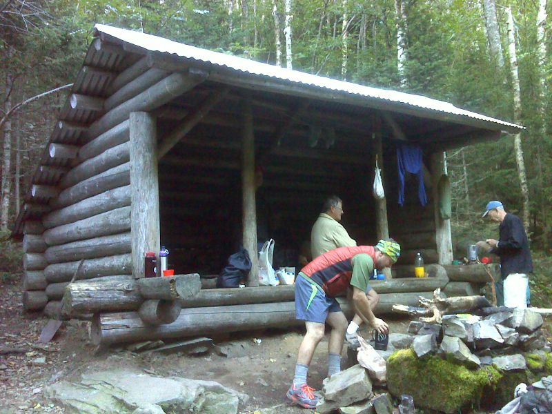
mm 30.6 Logan Brook Lean-to. GPS N45.5611 W69.2347
Submitted by pjwetzel @ gmail.com
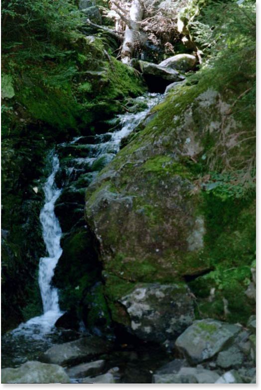
MM 30.6. Logan Brook Falls. This falls is just outside of the shelter of the same name on your way up the north side of White Cap Mountain. Wed., Sept. 3, 2003.
Submitted by askus3 @ optonline.net
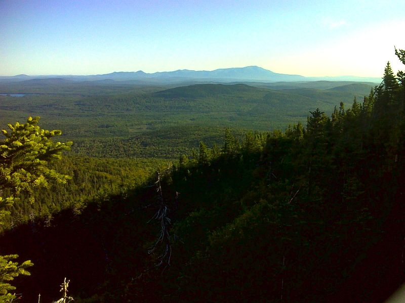
Katahdin from lower slopes of White Cap Mt. GPS N45.5595 W69.2336
Submitted by pjwetzel @ gmail.com
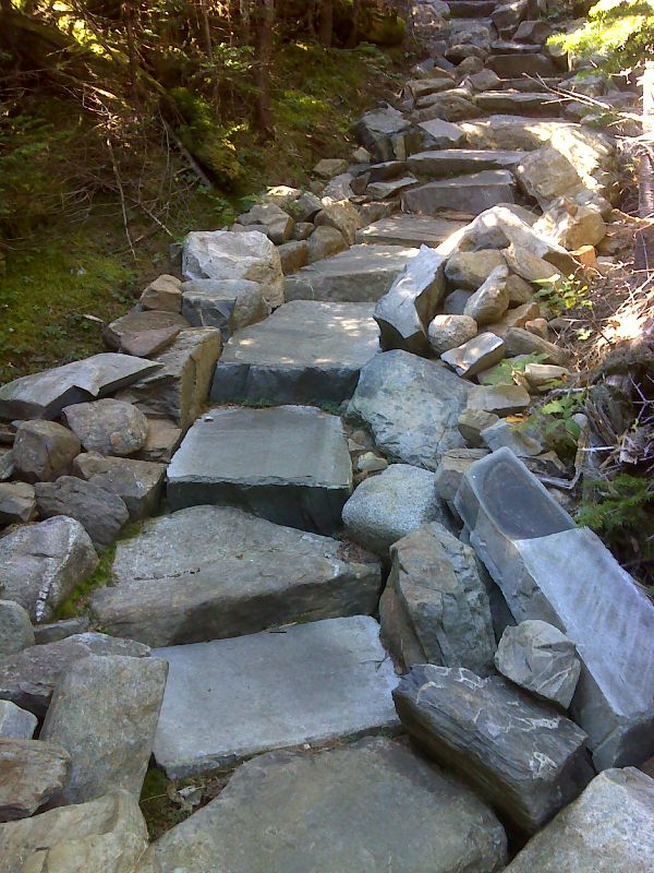
Some of the nearly 800 stone steps on north slopes of White Cap Mt. GPS N45.5577 W69.2401
Submitted by pjwetzel @ gmail.com