ME Section 2 Pictures - Milemarker 43.3
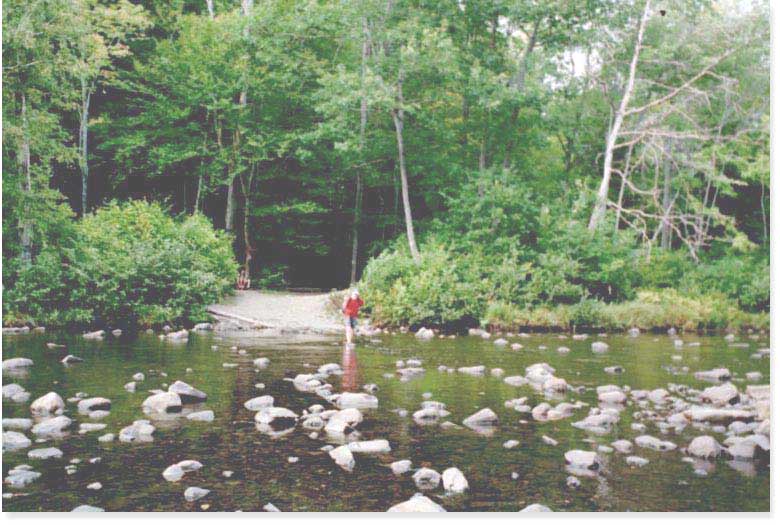
West Branch of Pleasant River - Parking on Katahdin Iron Works Road
Move your mouse across the pictures for more information.

43.3 MM. Just .2 mile in from the Katahdin Ironworks Road access via a blue spur trail is the end of section 2 and the crossing of the West Branch of the Pleasant River. This is a view of this river ford on Wed. Sept. 3, 2003. Most of the time this is an easy ford that is about a foot deep, but in high water this ford could be dangerous. You also ford the river for your scenic Gulf Hagas dayhike.
Submitted by askus3 @ optonline.net

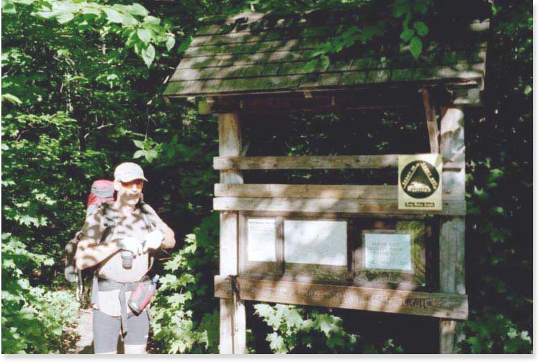
43.3 MM. From the end of section 2 at the crossing of the West Branch of the Pleasant River is a blue spur trail .2 mile long. It connects to the parking area on Katahdin Ironworks Road. Here is a photo of Alex Lantino at the signboard at this parking lot on Sept. 5, 2003. He is starting from this road access for a two day southbound AT backpack covering the next southern section of the Hundred Mile Wilderness.
Submitted by askus3 @ optonline.net