ME Section 3 Pictures - Milemarker 0.0 - 3.9
Parking on Katahdin Iron Works Road - Chairback Mountain
Move your mouse across the pictures for more information.
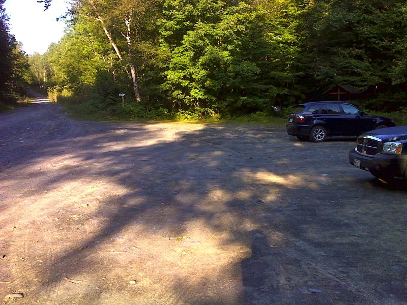
mm 0.0 Gulf Hagas parking lot on Katahdin Iron Works Road. There is a ten dollar per person per day fee to enter this area by vehicle. A 0.2 mile long blue-bazed access trail leads to the AT at the West Branch of the Pleasant River. GPS N45.4777 W 69.2849
Submitted by pjwetzel @ gmail.com
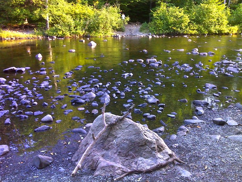
mm 0.0 Ford of West Branch of the Pleasant River. GPS N45.4789 W 69.2884
Submitted by pjwetzel @ gmail.com
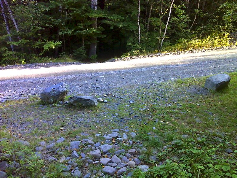
mm 0.5 Crossing of the Katahdin Iron Works haul road. The parking area is 0.5 miles east on this road. GPS N45.4739 W 69.2945
Submitted by pjwetzel @ gmail.com
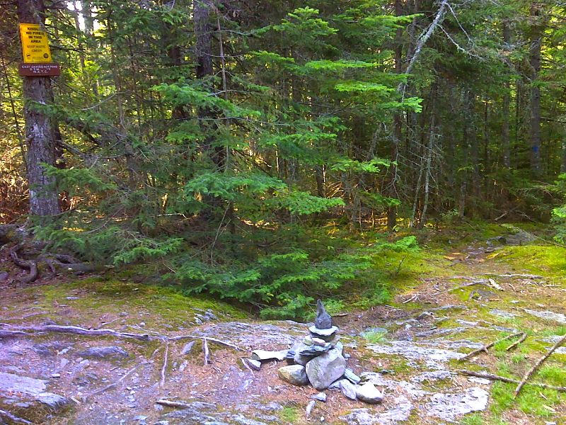
mm 1.7 Side trail leads 0.2 miles to East Chairback pond. GPS N45.4681 W 69.2785
Submitted by pjwetzel @ gmail.com
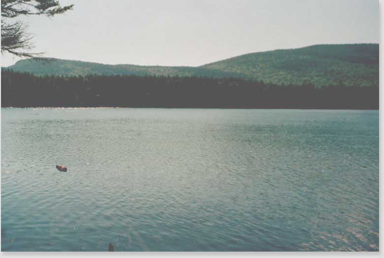
MM 1.7. From the bank of East Chairback Pond you get this beautiful view of Chairback Mountain on the left and Columbus Mountain on the right. These two peaks are the next two mountains you climb as part of the Chirback-Barren Range.
Submitted by askus3 @ optonline.net
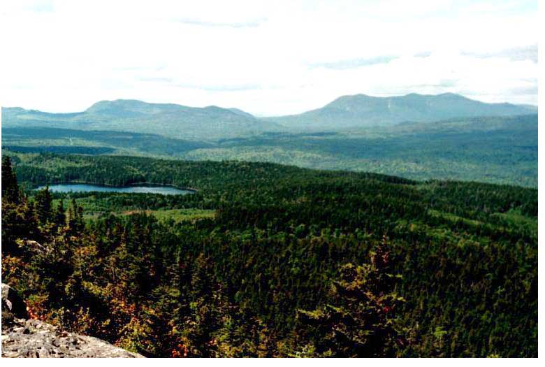
3.9 MM. Summit of Chairback Mt. (elev. 2,219 ft.). Here is the view of East Chairback Pond (previous photo) and White Cap Mountain - high point in section 2 from the summit.
Submitted by askus3 @ optonline.net
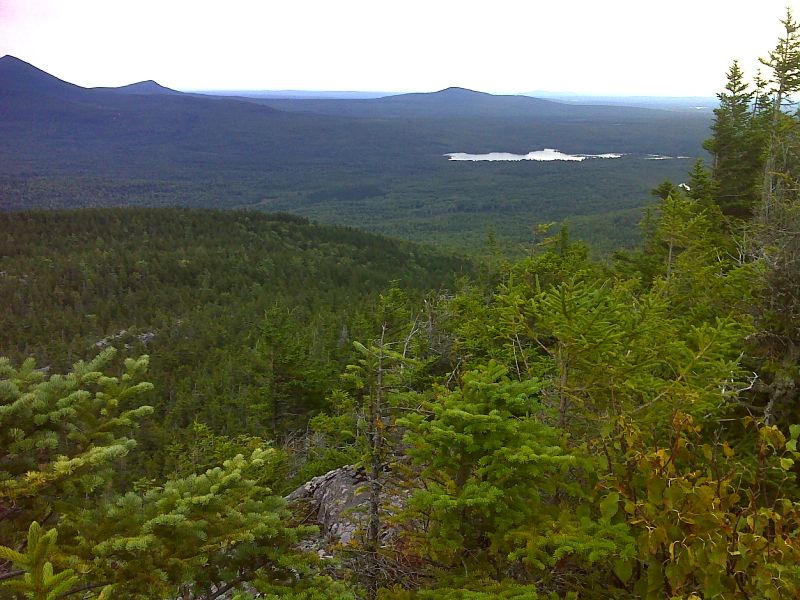
mm 3.9 Silver Lake from Chairback Mountain. GPS N45.4566 W 69.2546
Submitted by pjwetzel @ gmail.com
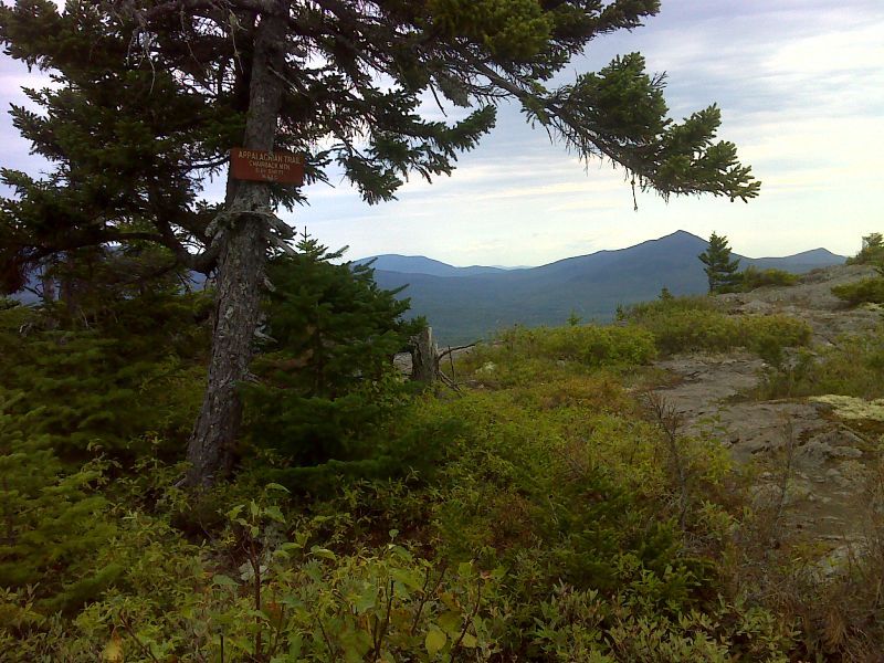
mm 3.9 Summit of Chairback Mountain. GPS N45.4566 W 69.2560
Submitted by pjwetzel @ gmail.com