ME Section 3 Pictures - Milemarker 9.2 - 12.2
Fourth Mountain - Barren Mountain
Move your mouse across the pictures for more information.
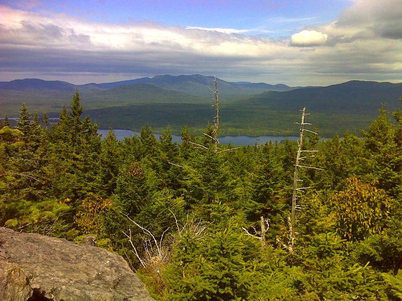
mm 9.2 Long Pond from Fourth Mountain. GPS N45.4325 W69.3195
Submitted by pjwetzel @ gmail.com
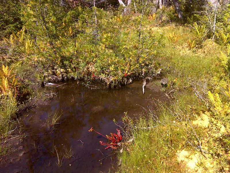
mm 9.6 Fourth Mountain Bog scene. GPS N45.4302 W69.3314
Submitted by pjwetzel @ gmail.com
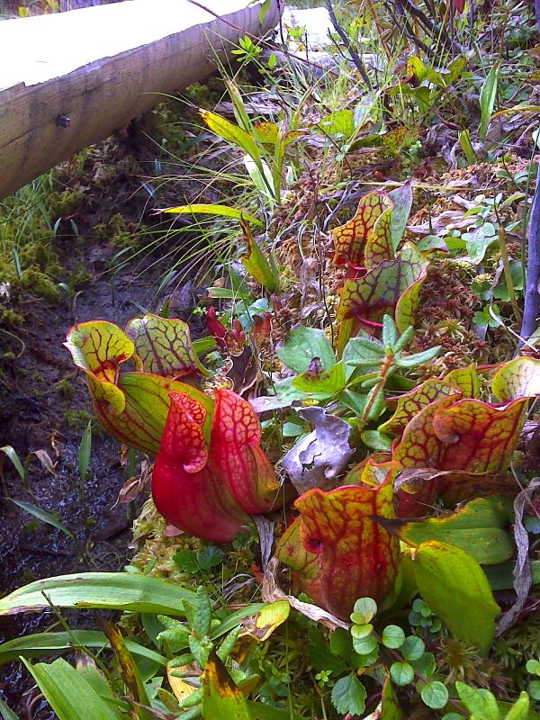
mm 9.6 Pitcher plants at Fourth Mountain Bog. GPS N45.4302 W69.3314
Submitted by pjwetzel @ gmail.com
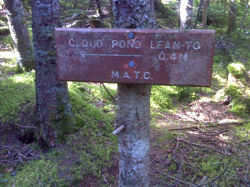
mm 11.3 Sign at side trial to Cloud Pond Lean-to. GPS N45.4207 W89.3548
Submitted by pjwetzel @ gmail.com
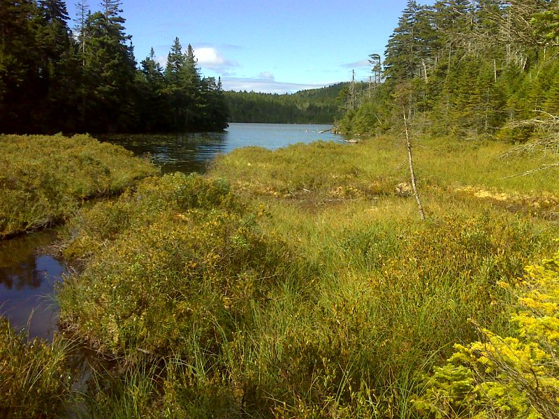
mm 11.3 Arm of Cloud Pond GPS N45.4191 W89.3531
Submitted by pjwetzel @ gmail.com
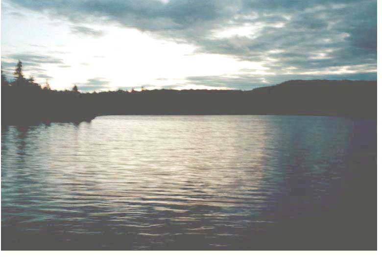
MM 11.3. Here is a view of Cloud Pond. There is a shelter here on a .3 mile spur trail. This is a logical overnight destination for southbounders starting at Katahdin Ironworks Road.
Submitted by askus3 @ optonline.net
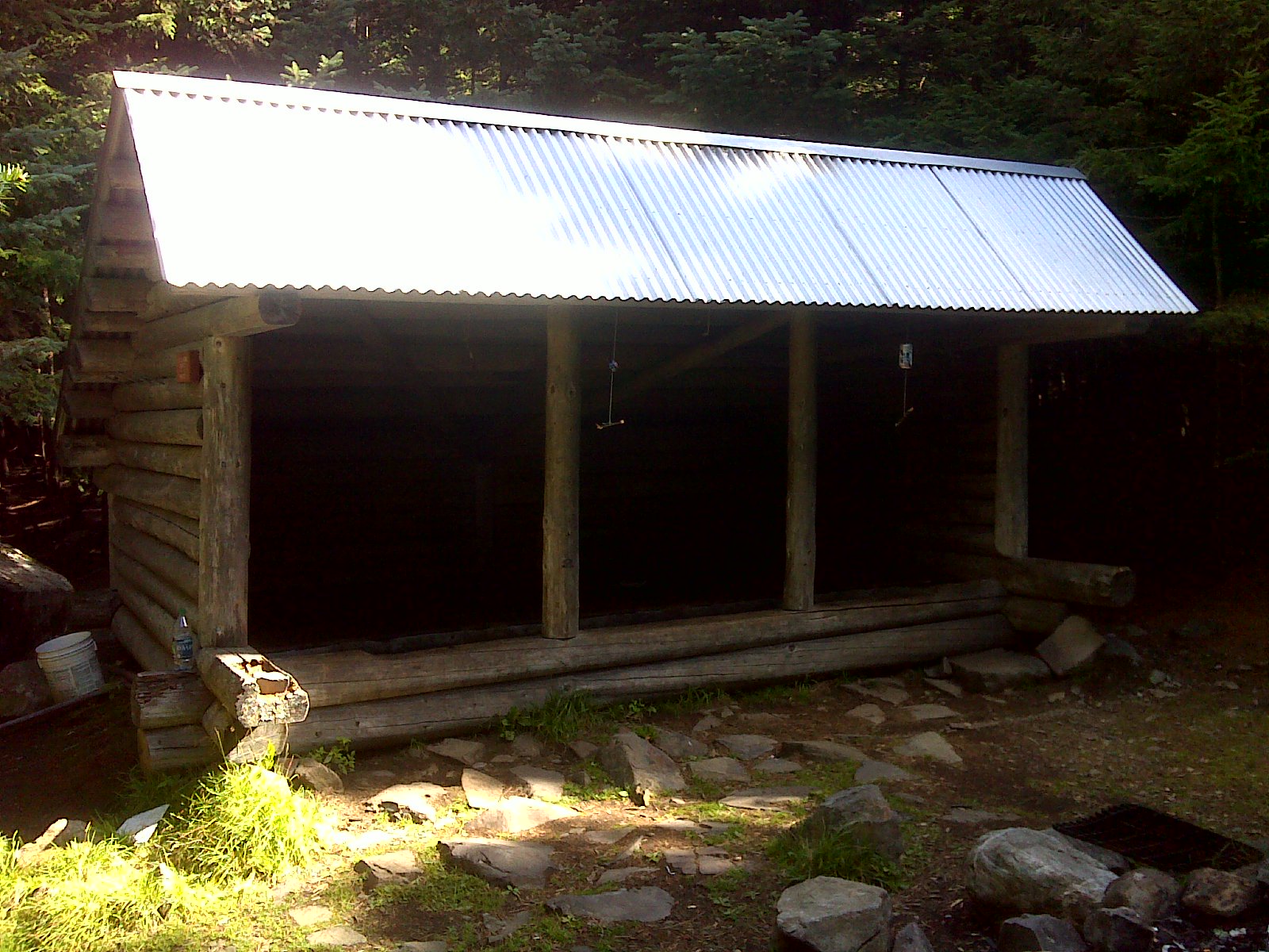
mm 11.3 Cloud Pond Lean-to. GPS N45.4181 W69.3538
Submitted by pjwetzel @ gmail.com
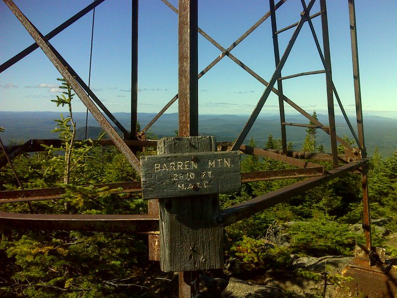
mm 12.2 Summit sign on Barren Mt. GPS N45.4158 W89.3707
Submitted by pjwetzel @ gmail.com