ME Section 3 Pictures - Milemarker 12.3 - 15.2
Barren Mountain - Otter Pond Access Route
Move your mouse across the pictures for more information.
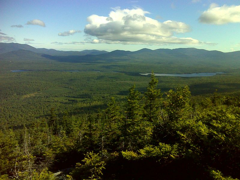
mm 12.3 Long Pond from Barren Mt. GPS N45.4161 W89.3718
Submitted by pjwetzel @ gmail.com
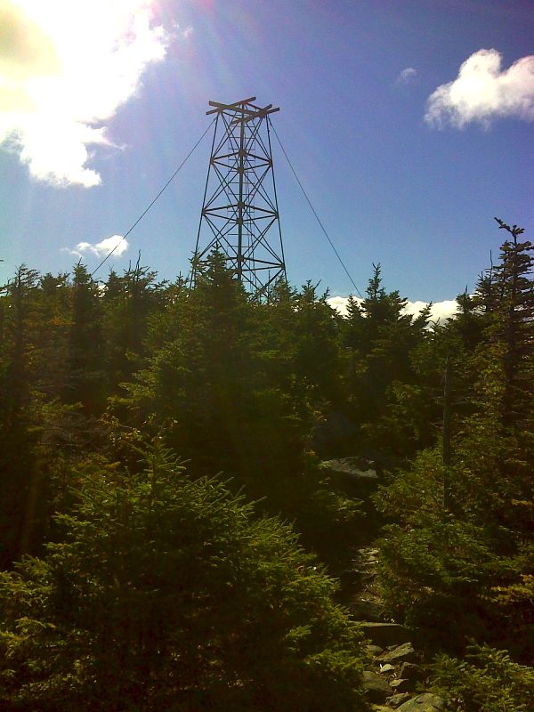
mm 12.3 Remnants of old fire tower on Barren Mt. GPS N45.4161 W89.3718
Submitted by pjwetzel @ gmail.com
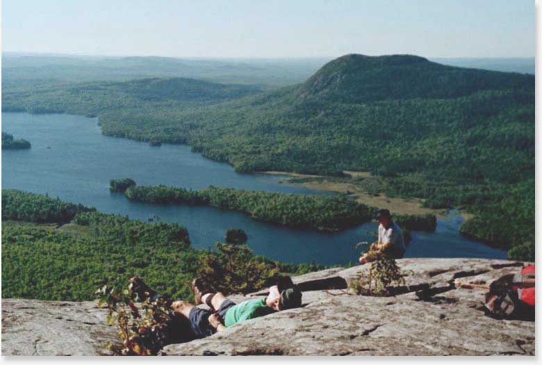
14.0 MM. This photo is taken at the end of the Chairback-Barren Range on ledges south of Barren Mt. You see in this photo Bodfish Intervale, Lake Onawa and Boarstone Mt.
Submitted by askus3 @ optonline.net
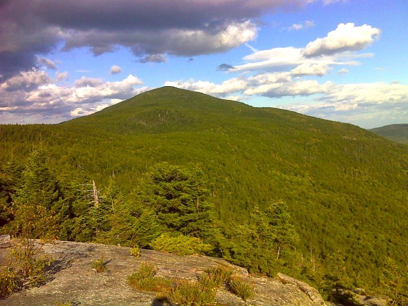
mm 14.0 Barren Mountain from Barren Ledges. GPS N45.4132 W69.3967
Submitted by pjwetzel @ gmail.com
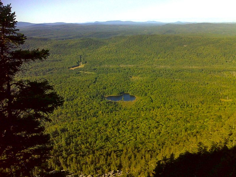
mm 14.2 Otter Pond and Bodfish Intervale from Barren Slide. GPS N45.4137 W69.3994
Submitted by pjwetzel @ gmail.com
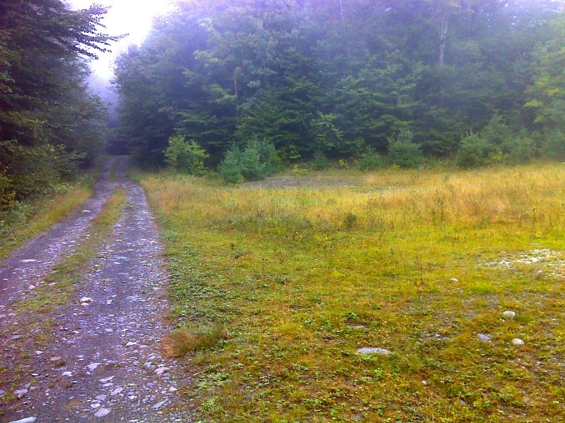
mm 15.2 Parking area for Otter Pond access route. This climbs about 0.8 miles to meet the AT just north of Long Pond Stream lean-to. GPS N45.4130 W69.4158
Submitted by pjwetzel @ gmail.com
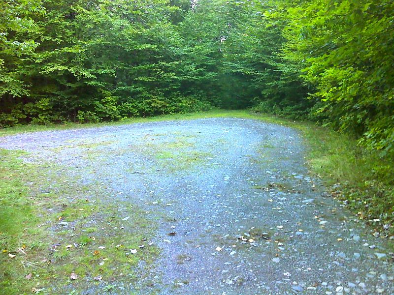
mm 15.2 End of road for Otter Pond Access route. Trail enters the woods here and climbs 0.8 miles to the AT. GPS N45.4135 W69.4168
Submitted by pjwetzel @ gmail.com
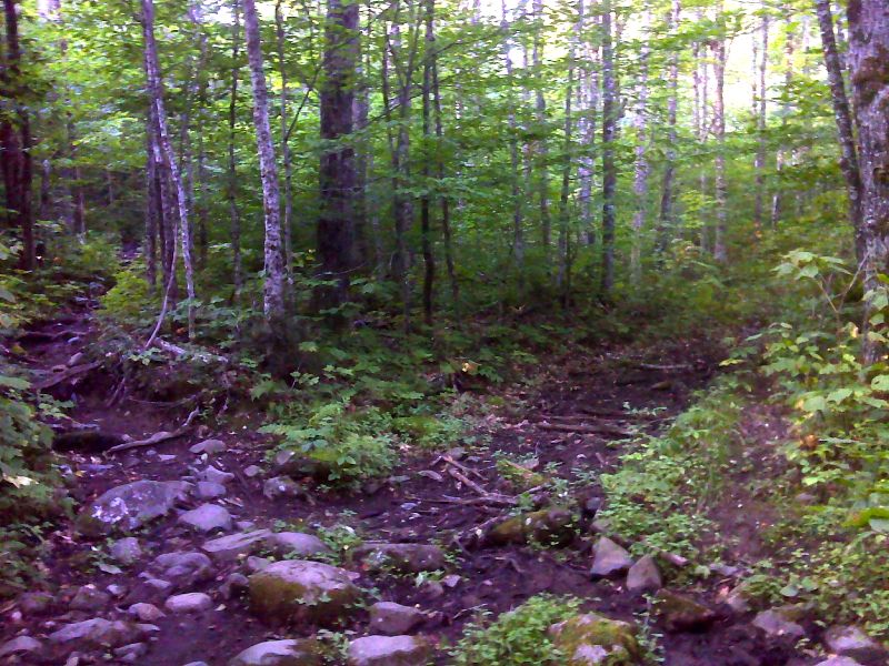
mm 15.2 Junction of the AT and an old road. Via the latter it is 0.8 miles to parking near Otter Pond. This side route is unmarked and unblazed. GPS N45.4196 W69.4104
Submitted by pjwetzel @ gmail.com