ME Section 3 Pictures - Milemarker 15.3 - 20.4
Long Pond Stream Lean-to - Railroad Crossing
Move your mouse across the pictures for more information.
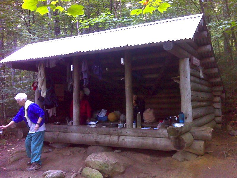
mm 15.3. Long Pond Stream Lean-to. GPS 45.4211 W69.4103
Submitted by pjwetzel @ gmail.com
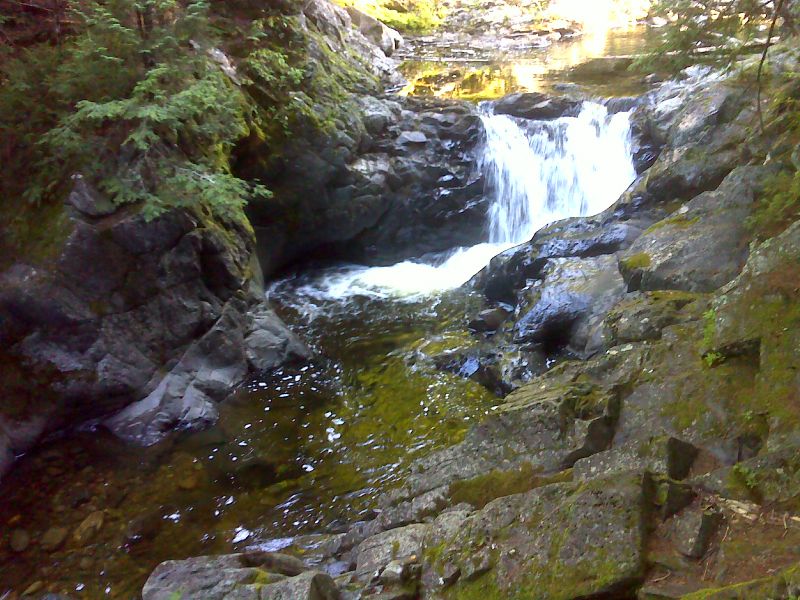
mm 15.4 Small cascade on Long Pond Stream. This may be part of Slugundy Falls. GPS 45.4217 W69.4103
Submitted by pjwetzel @ gail.com
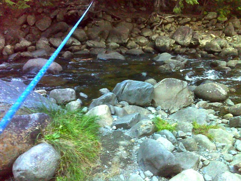
mm 16.1 Ford of Long Pond Stream. GPS 45.4172 W69.4201
Submitted by pjwetzel @ gmail.com
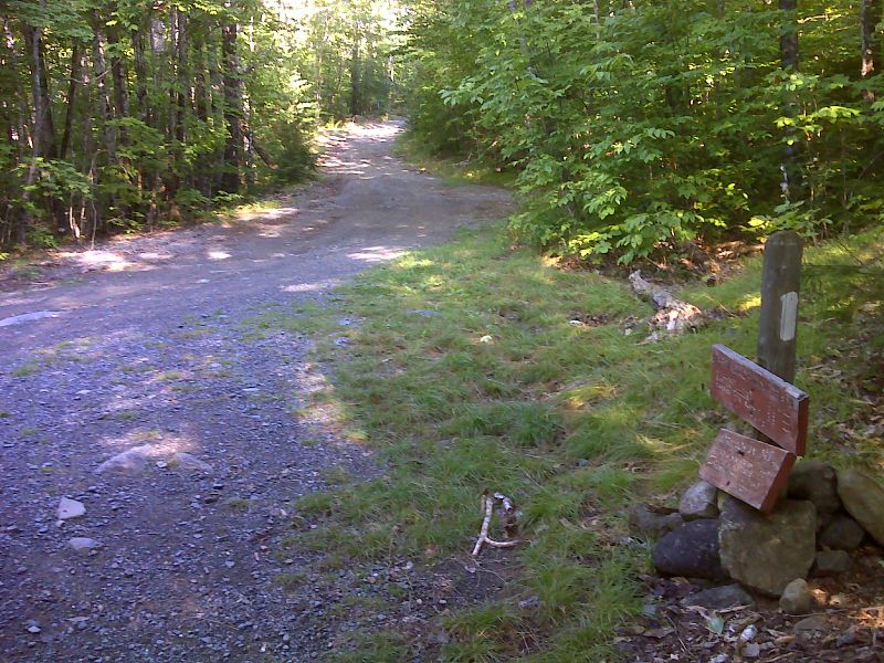
mm 16.2 Brief walk on Bodfish Farm - Long Pond tote road. Parking is on right. GPS 45.4174 W69.4201
Submitted by pjwetzel @ gmail.com
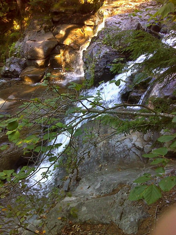
mm 16.7 Vaughn Stream Waterfall. GPS 45.4206 W69.4284
Submitted by pjwetzel @ gmail.com
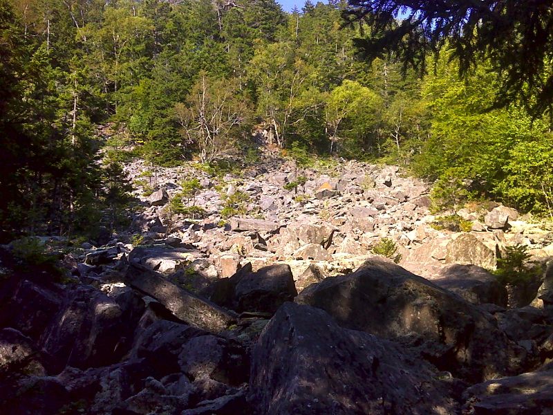
mm 18.5 Rocky scree slope. GPS 45.4066 N69.4373
Submitted by pjwetzel @ gmail.com
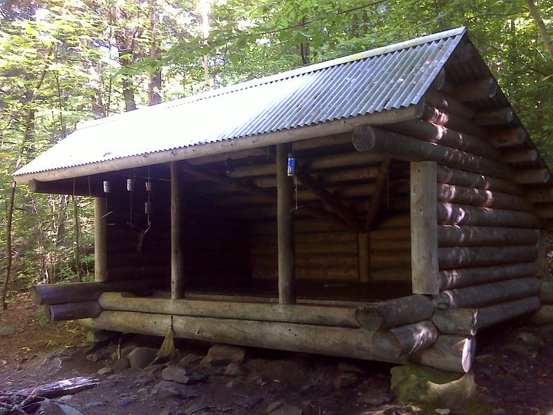
mm 20.0 Wilson Valley Lean-to. GPS 45.3988 W69.4591
Submitted by pjwetzel @ gmail.com
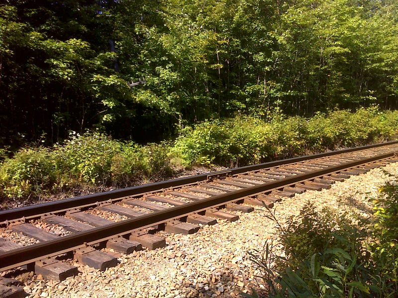
mm 20.4 Montreal Maine and Atlantic Railroad crossing, GPS 45.4000 W69.4662
Submitted by pjwetzel @ gmail.com