ME Section 4 Pictures - Milemarker 36.7 - 37.0
Forks Area Scenic Trail - Kennebec River
Move your mouse across the pictures for more information.
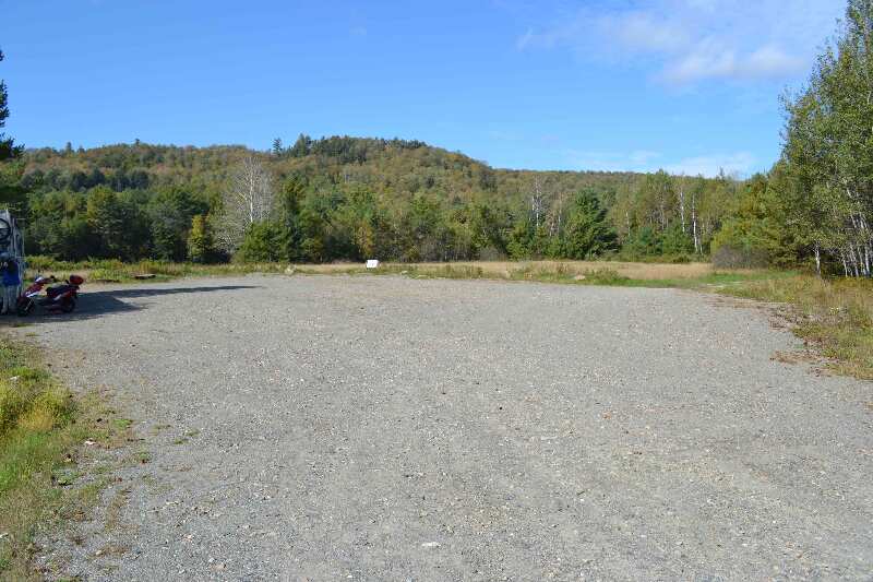
about mm 36.7 - Forks Area Scenic Trail - alternate parking off of Rt 201 1.3 miles north from official parking area. GPS N45.25317 W69.989872 el.532
Submitted by at @ rohland.org
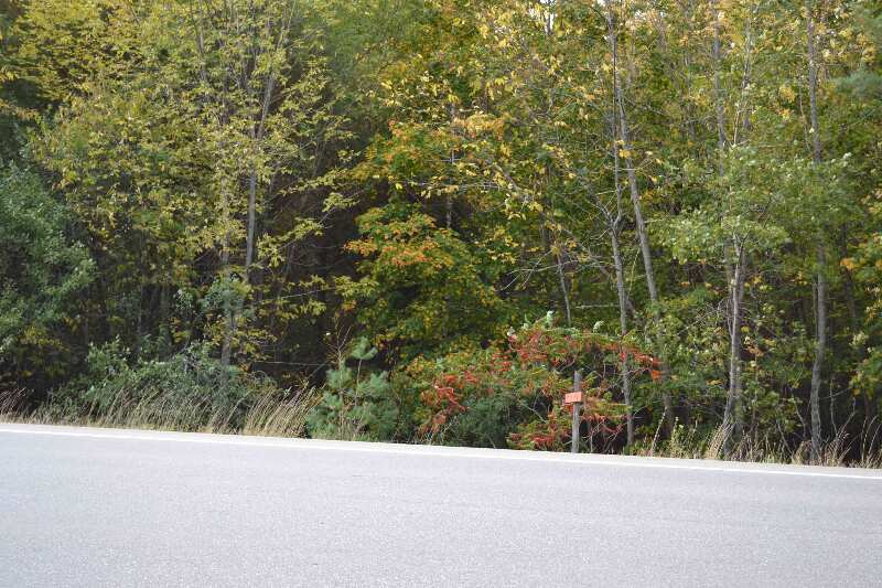
mm 36.7 - looking across Rt 201 to the trail south
Submitted by at @ rohland.org
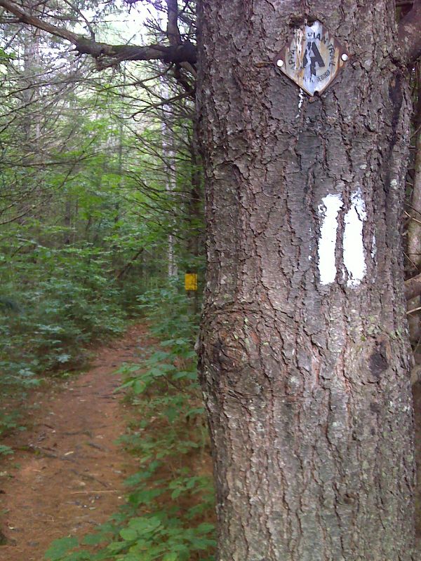
Old metal trail sign near US 201. GPS N45.2350 W69.9967
Submitted by pjwetzel @ gmail.com
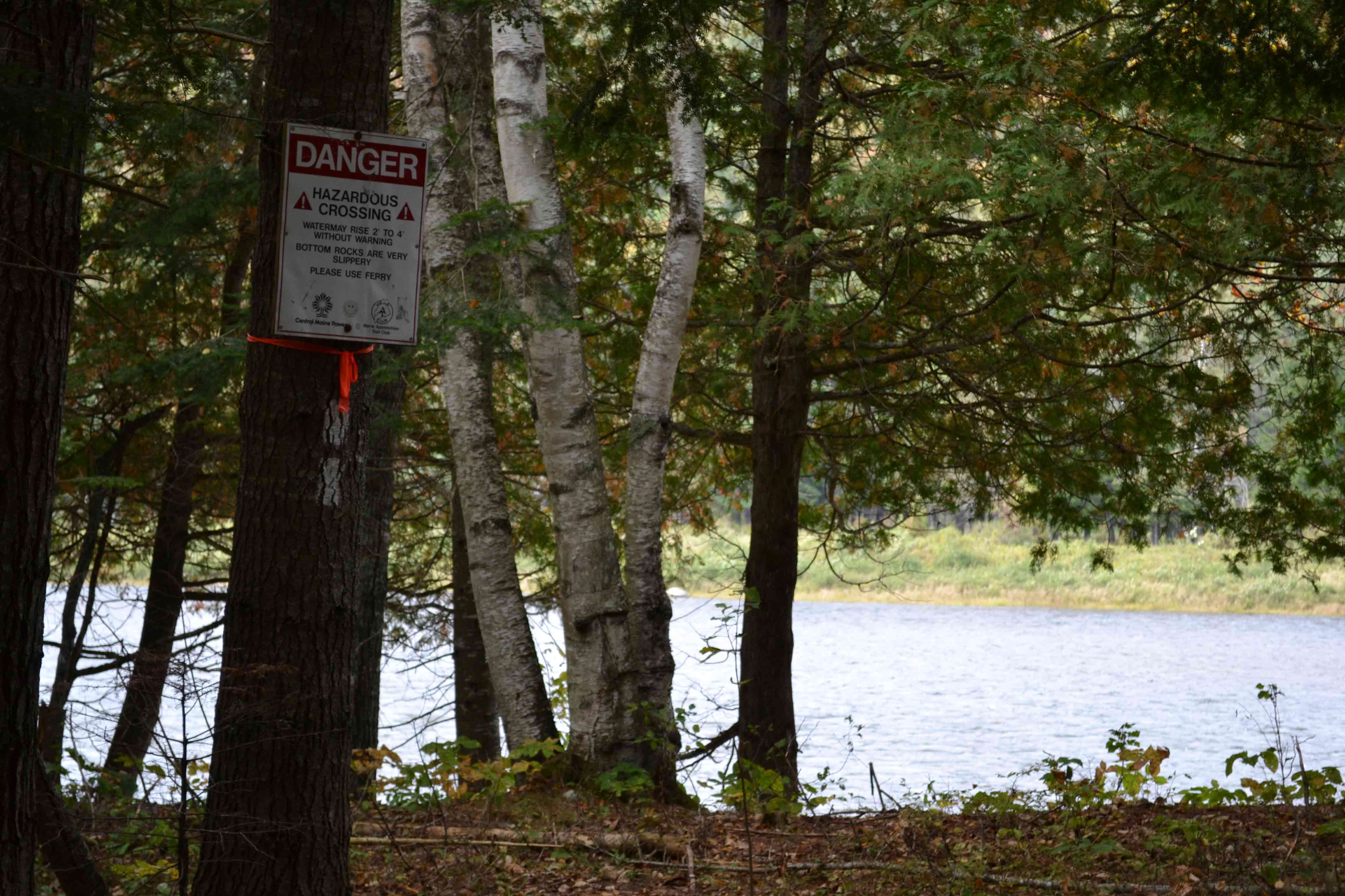
Kennebec River before ferry crossing - Warning not to cross river
Submitted by at @ rohland.org
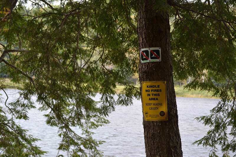
Kennebec River before ferry crossing - No fires or camping permitted
Submitted by at @ rohland.org
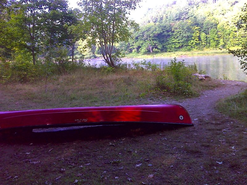
mm 37.0 Ferry crossing site on east bank of Kennebec River. GPS N45.2363 W70.0001
Submitted by pjwetzel @ gmail.com
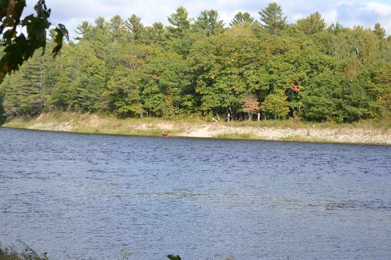
mm 37.0 - Looking north at Kennebec River ferry
Submitted by at @ rohland.org
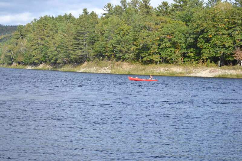
mm 37.0 - Looking north at Kennebec River ferry
Submitted by at @ rohland.org