ME Section 4 Pictures - Milemarker 4.5 - 6.7
Lake Hebron - East Branch of Piscataquis River
Move your mouse across the pictures for more information.
View of west end of Lake Hebron. The trail follows the shore for a short distance. Taken at approx. mm 4.5
Submitted by dlcul @ conncoll.edu
mm 4.8 The trail crosses a gravel road.
Submitted by dlcul @ conncoll.edu
For some distance west (trail south) of the gravel road, the trail follows this old road. Taken at approx. mm 5.3
Submitted by dlcul @ conncoll.edu

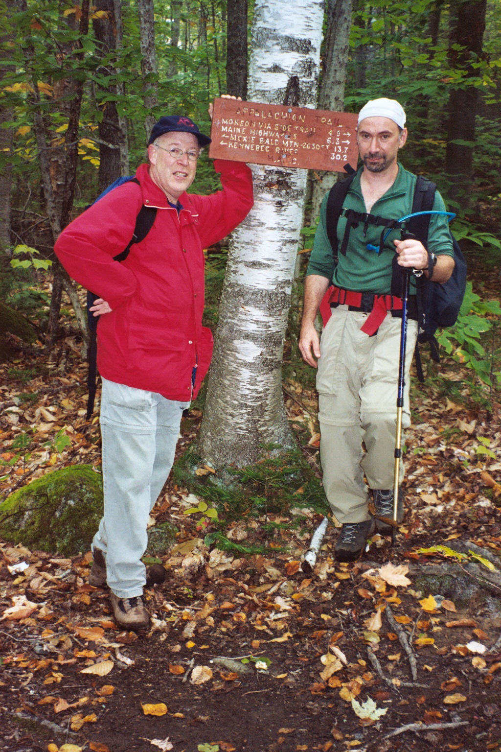
6.3 MM. Here is the trail sign on the AT at the crossing of Shirley-Blanchard Road. Aaron and David Kahan are posing for this photo.
Submitted by askus3 @ optonline.net
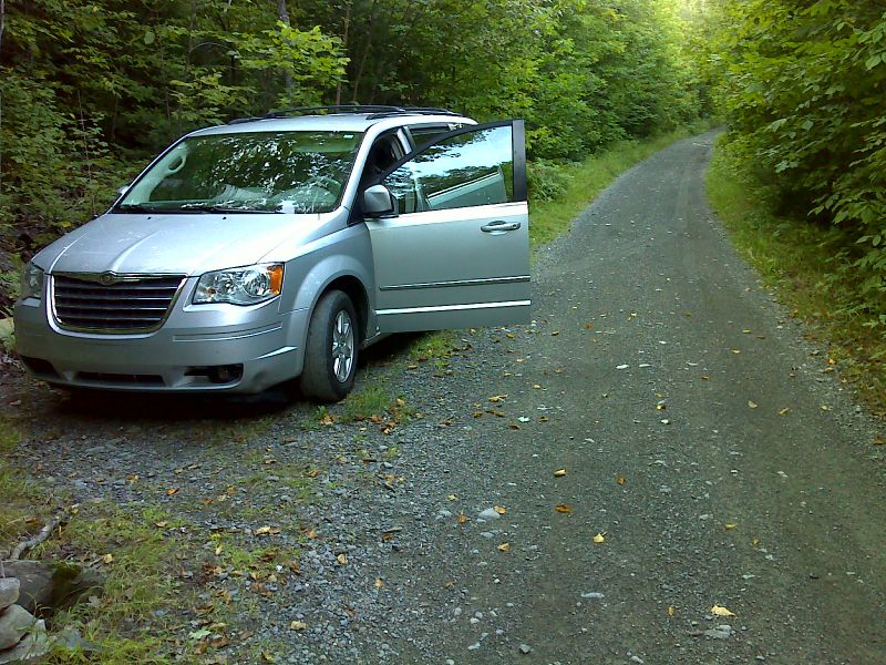
mm 6.3 Trail crossing of Shirley-Blanchard Road. Whatever parking there is here is roadside on the north side of the road (right in the picture). The northbound trail can be seen going off to the right.
Submitted by dlcul @ conncoll.edu
mm 6.3 Parking area on Shirley-Blanchard Road. This is 0.1 miles south of the trail crossing on the west side of the road.
Submitted by dlcul @ conncoll.edu

mm 6.4 Old railroad bed crossing. Parking space for one car. GPS 45.2860 W69.5881
Submitted by pjwetzel @ gmail.com

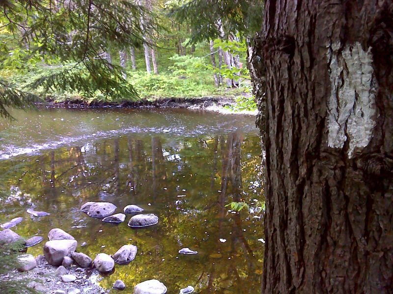
mm 6.7 Ford of the East Branch of the Piscataquis River. GPS 45.2840 W69.5917
Submitted by pjwetzel @ gmail.com