ME Section 4 Pictures - Milemarker 6.7 - 14.6
East Branch Piscataquis River - Piscataquis County Line
Move your mouse across the pictures for more information.
6.7 MM. Dean, Josh, Veronica and Dave are fording the East Branch of the Piscataquis River. If you start at Shirley-Blanchard Road start out in your water shoes as the ford is just .4 easy mile from the road.
Submitted by askus3 @ optonline.net
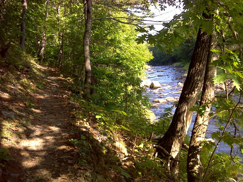
Trail along the West Branch of the Piscataquis River. GPS 45.2870 W69.6172
Submitted by pjwetzel @ gmail.com
9.0 MM. Aaron, George S. and Dean taking a break at the Horseshoe Canyon Lean-to. This is located just off the West Branch of the Piscataquis which you hear flowing in the background.
Submitted by askus3 @ optonline.net
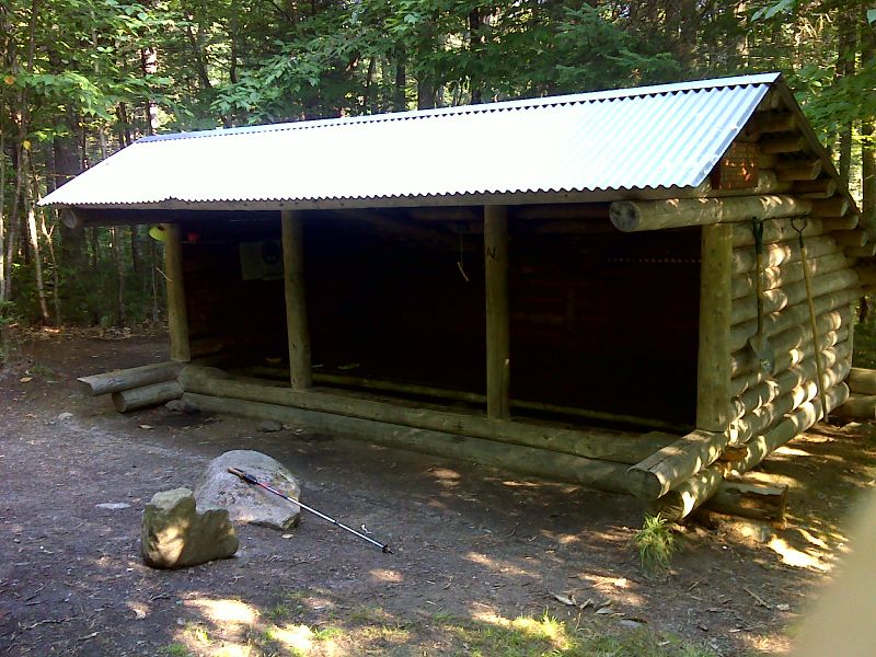
Horseshoe Canyon Lean-to. This is reached by a loop trail which intersects with the AT at miles 8.9 and 9.1 GPS 45.2827 W69.6276
Submitted by pjwetzel @ gmail.com
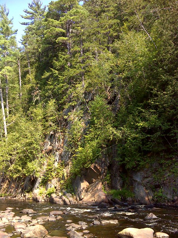
Cliffs on West Branch of the Piscataquis River GPS 45.2878 W69.6401
Submitted by pjwetzel @ gmail.com
12.1 MM. Dave and Chris fording the West Branch of the Piscataquis River.
Submitted by askus3 @ optonline.net
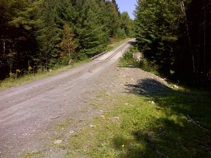
mm 13.9 Gravel logging road which provides access from Blanchard. Some roadside parking is available. GPS 45.2763 W69.6899
Submitted by pjwetzel @ gmail.com
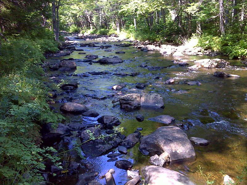
Bald Mountain Stream near Piscataquis County Line. GPS 45.2768 W69.7043
Submitted by pjwetzel @ gmail.com