ME Section 4 Pictures - Milemarker 19.0 - 20.4
North Junction Moxie Bald Bypass - Lobster Claw
Move your mouse across the pictures for more information.
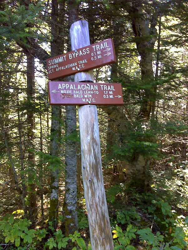
mm 19.0 North junction with by-pass trail around Moxie Bald summit. GPS N45.2648 W69.7694
Submitted by pjwetzel @ gmail.com
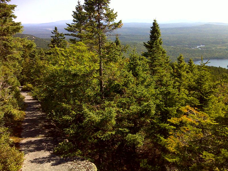
Amazing smooth ledge walk on north slopes of Moxie Bald. There are also great views. GPS 45.2627 W69.7694
Submitted by pjwetzel @ gmail.com
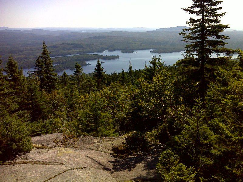
mm 20.0 Bald Mountain Pond from Moxie Bald. GPS 45.2628 W69.7697
Submitted by pjwetzel @ gmail.com
20.0 MM. The summit of Moxie Bald, is the highest point in this section at 2,629 feet. On a clear day like the one pictured you can still see Mt. Katahdin and North Brother Mountain to the north. Here is our group photo including Chris, Dave, Veronica, Ludwig, Aaron, Josh and Dean.
Submitted by askus3 @ optonline.net
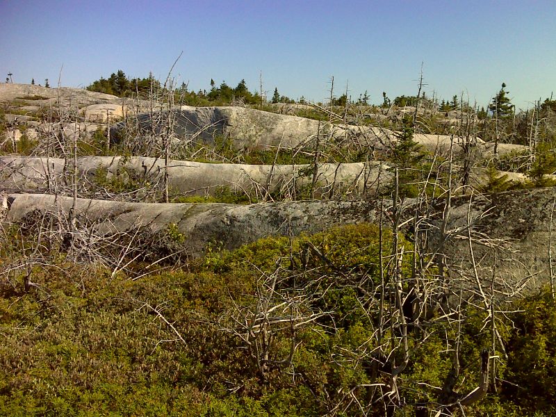
mm 20.0 Moxie Bald had a ground fire that killed most of the trees. GPS N45.2632 W69.7713
Submitted by pjwetzel @ gmail.com
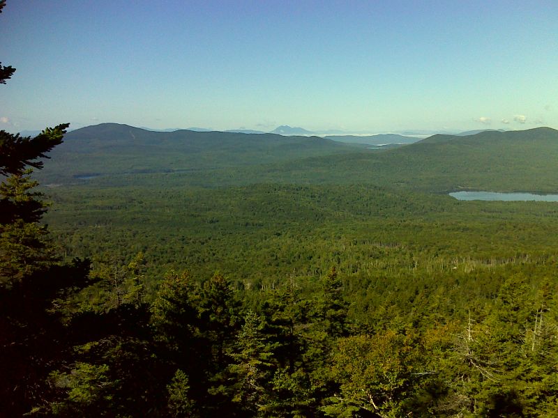
Moxie Pond, Pleasant Pond and the Bigelows from Moxie Bald. Taken at approx. mm 20.2. GPS N45.2631 W69.7758
Submitted by pjwetzel @ gmail.com
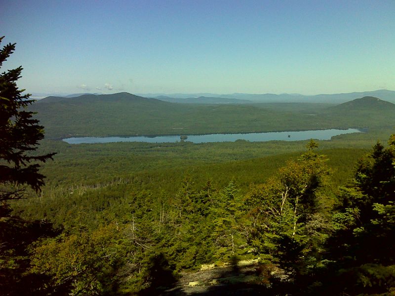
Moxie Pond from Moxie Bald. Taken at approx. mm 20.2. GPS N45.2631 W69.7759
Submitted by pjwetzel @ gmail.com
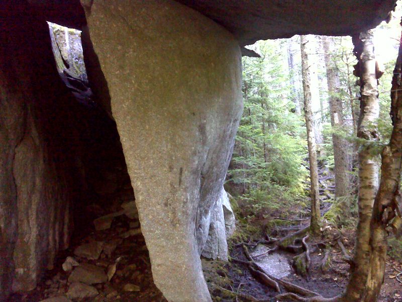
Rock formation which I call the Lobster Claw. A huge rock juts out over the trail. There is a tunnel on the left. The official AT is on the right. GPS N45.2634 W69.7764
Submitted by pjwetzel @ gmail.com