ME Section 4 Pictures - Milemarker 20.6 - 24.8
South Junction Moxie Bald Bypass - Moxie Pond
Move your mouse across the pictures for more information.
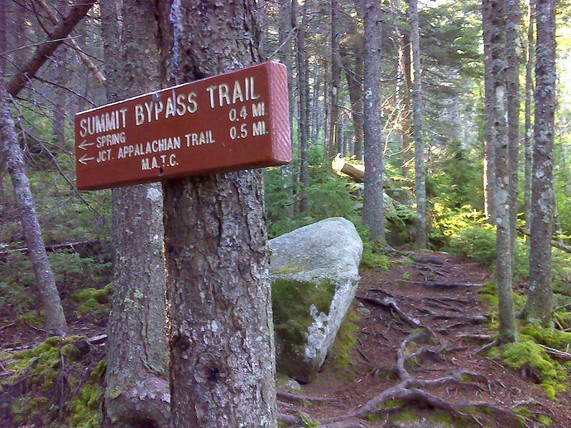
mm 20.6 South junction with the bypass trail around Moxie Bald summit. GPS N45.2663 W69.7786
Submitted by pjwetzel @ gmail.com
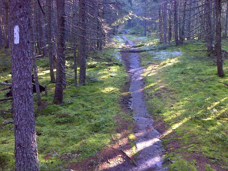
Perfect bedrock slab walk on slopes of Moxie Bald. GPS N45.2621 W69.7937
Submitted by pjwetzel @ gmail.com
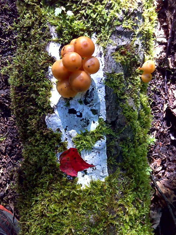
White blaze on downed rotting tree. GPS N45.2590 W69.7986
Submitted by pjwetzel @ gmail.com
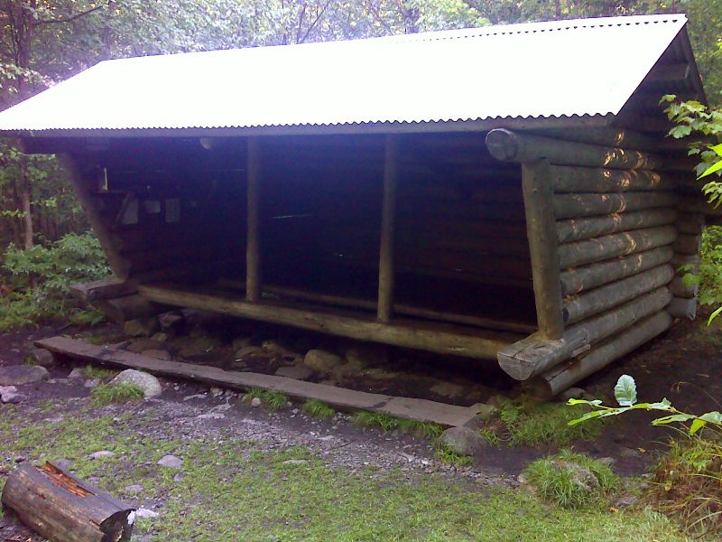
Bald Mountain Lean-to. GPS N45.2586 W69.7996
Submitted by pjwetzel @ gmail.com
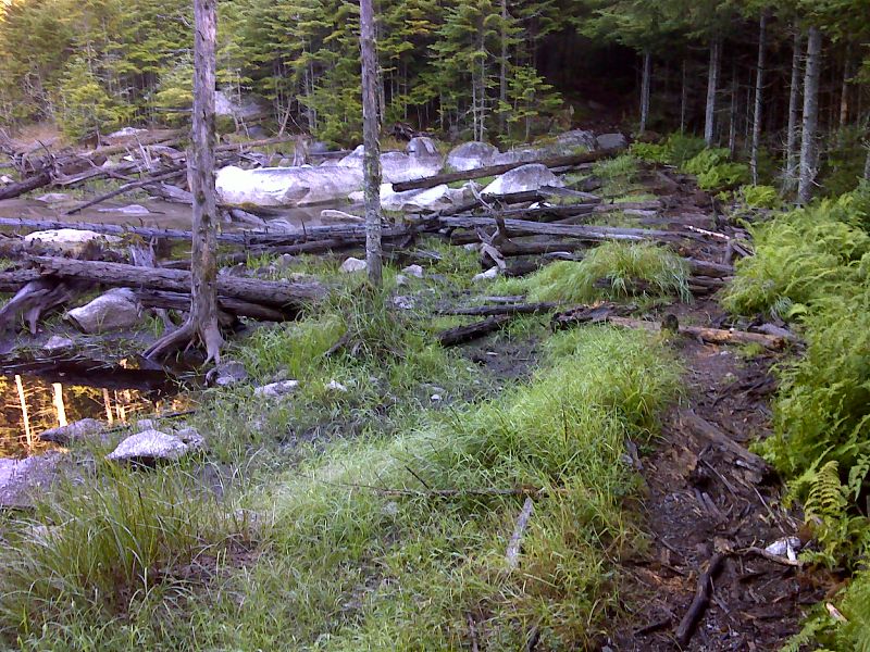
The AT now bypasses this beaver-flooded bog by crossing an old beaver dam. GPS N45.2565 W69.8026
Submitted by pjwetzel @ gmail.com
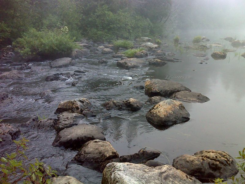
mm 24.7 Crossing Baker Stream requires a long rock-hop. GPS N45.2498 W69.8306
Submitted by pjwrzel @ gmail.com
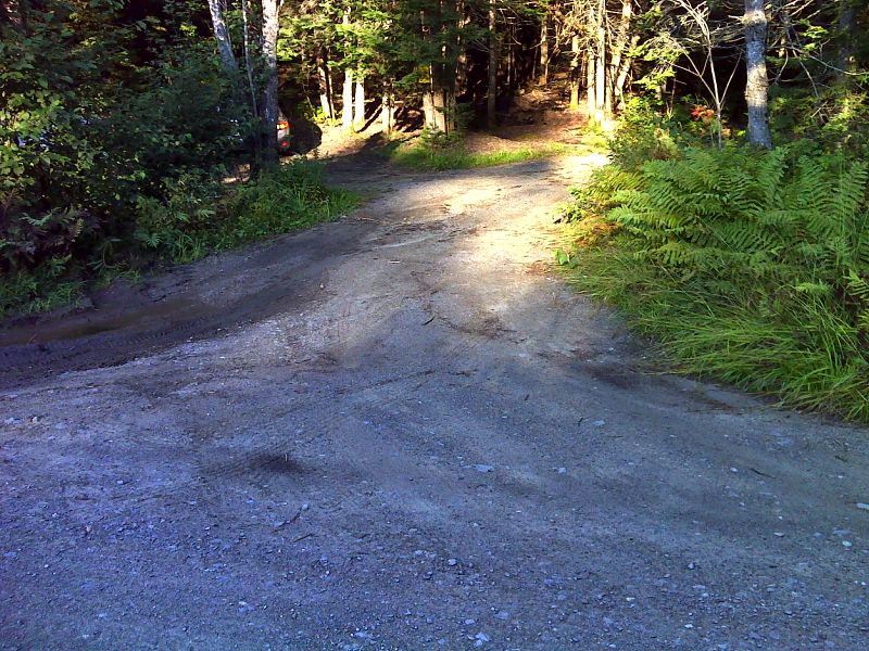
mm 24.8 Parking area on Moxie Pond Road. GPS N45.2497 W69.8309
Submitted by pjwetzel @ gmail.com
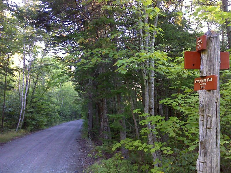
mm 24.8 From the parking area the southbound trail follows Moxie Pond for 0.2 miles.GPS N45.2498 W69.8309
Submitted by pjwetzel @ gmail.com