ME Section 4 Pictures - Milemarker 24.8 - 29.7
Joe's Hole - Pleasant Pond Mt.
Move your mouse across the pictures for more information.
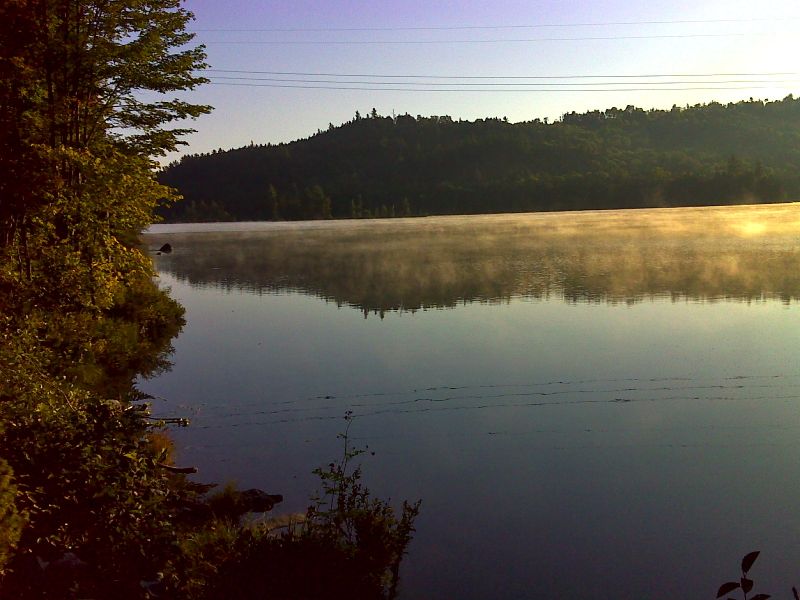
Morning mist on Joes Hole which is part of Moxie Pond. GPS N45.2510 W69.8306.
Submitted by pjwetzel @ gmail.com
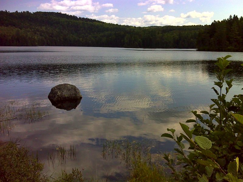
Another view of Joes Hole. GPS N45.2516 W69.8302.
Submitted by pjwetzel @ gmail.com
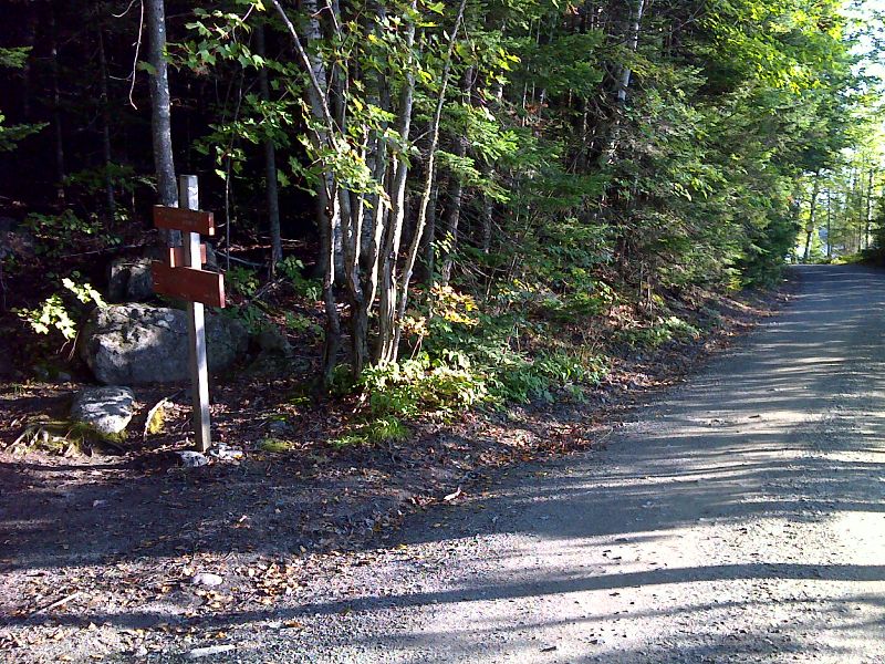
mm 25.0 At this point the southbound trail leaves Moxie Pond Road. Northbound the trail follows the road for 0.2 miles. GPS N45.2521 W69.8299.
Submitted by pjwetzel @ gmail.com
25.0 MM. This is the Moxie Pond Trailhead as the AT heads west into the woods to start its climb up Pleasant Pond Mountain. Moxie Pond is in the background. Ludwig, Dean, Josh, George P., Chris, George S. Veronica and Dave pose in this photo at the start of this day's hike.
Submitted by askus3 @ optonline.net
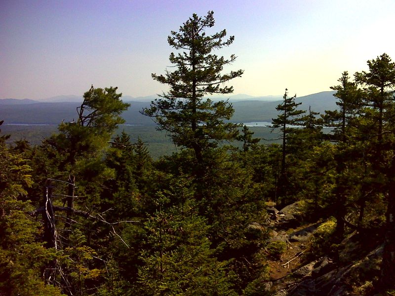
Moxie Pond from ridge below Middle Mountain. GPS N45.2645 W69.8902
Submitted by pjwetzel @ gmail.com
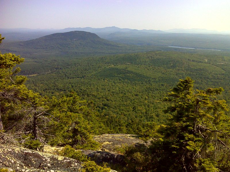
mm 29.7 View of Hedgehog Hill and northern Moxie Pond from near summit of Pleasant Pond Mt. GPS N45.2717 W 69.8943
Submitted by pjwetzel @ gmail.com
29.7 MM. Here we are at the summit of Pleasant Pond Mountain looking back and down at Moxie Pond. Front row - Dean Gletsos, Aaron Schoenberg, Chris Senko. Back row - Ludwig Hendel, David Kahan, Veronica Cilich, Josh Davis, George Sheedy and George Perkinson.
Submitted by askus3 @ optonline.net
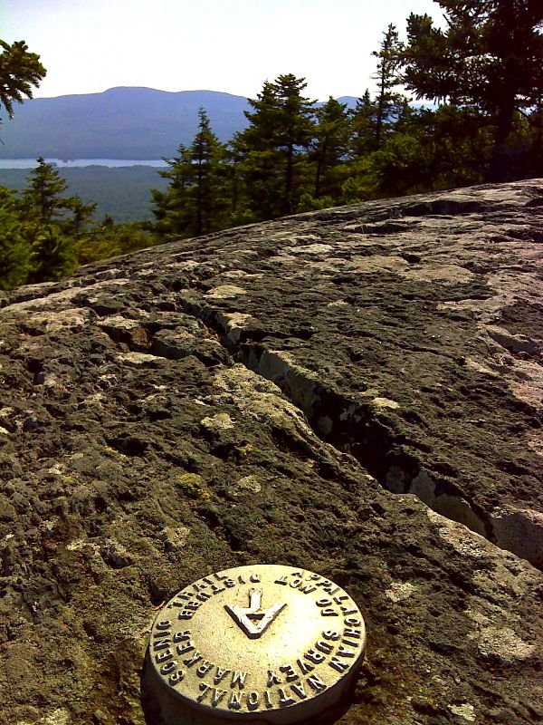
mm 29.7 Survey marker on summit of Pleasant Pond Mt. Moxie Pond and Moxie Bald are in distance. This marker is about 50 feet off the trail. GPS N45.2721 W 69.8952
Submitted by pjwetzel @ gmail.com