ME Section 4 Pictures - Milemarker 29.7 - 34.6
Pleasant Pond Mt. - Trail North of US 201
Move your mouse across the pictures for more information.
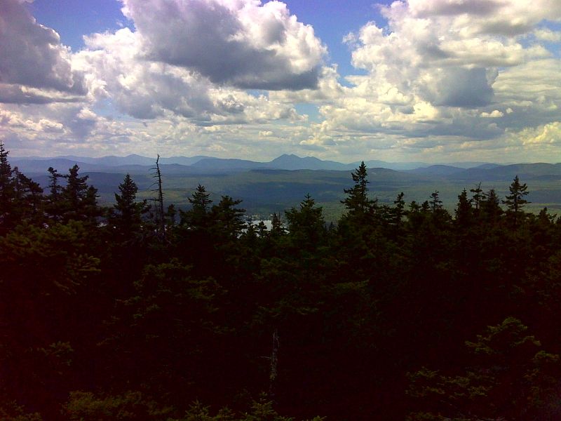
mm 29.7 View to the southwest from summit of Pleasant Pond Mountain. The Bigelow Range is prominent in the center of the picture. GPS N45.2721 W69.9242
Submitted by pjwetzel @ gmail.com
31.0 MM. Pleasant Pond, another nice Maine lake to have a picnic along the shore, take a break at or enjoy a swim in. Here I am lounging in the sun on the dock. There is easy access to here via Pleasant Pond Road and Boise-Cascade lumber road.
Submitted by askus3 @ optonline.net
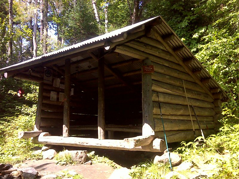
mm 31.0 Pleasant Pond Lean-to. GPS N45.2713 W69.9167
Submitted by pjwetzel @ gmail.com
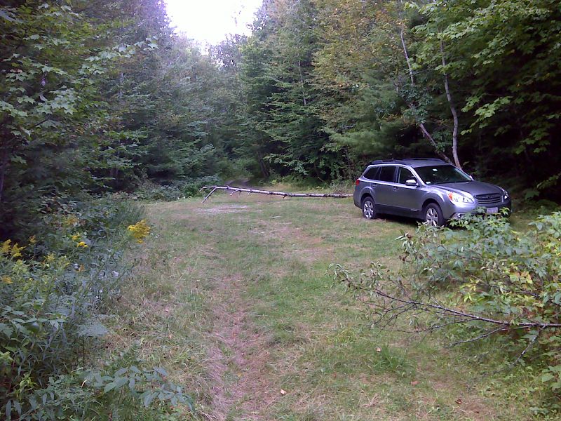
mm 31.3 Hiker parking near Boise-Cascade Road. GPS N45.2731 W69.9219
Submitted by pjwetzel @ gmail.com
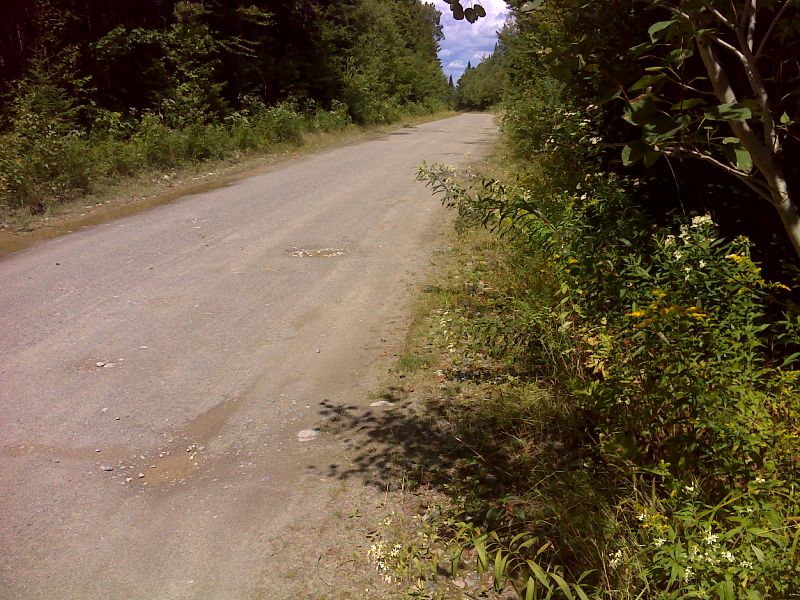
mm 31.4 AT crossing of Boise-Cascade Road. GPS N45.2727 W69.9242
Submitted by pjwetzel @ gmail.com
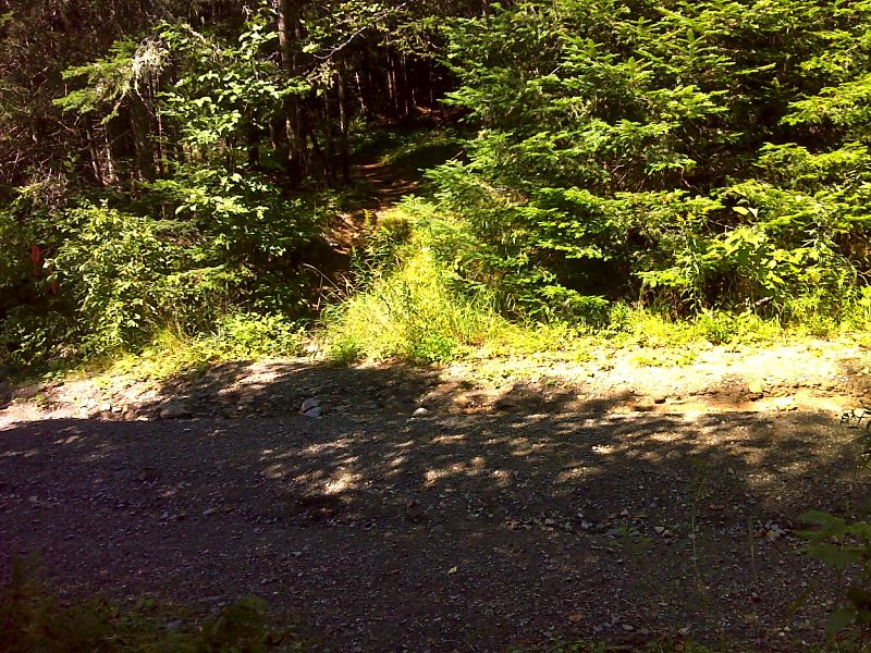
mm 32.6 AT crossing of Hangtown Road. GPS N45.2740 W69.9450
Submitted by pjwetzel @ gmail.com
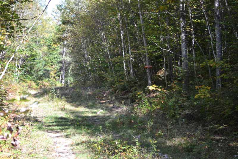
mm 34.6 - Important turn between trail and tote road. GPS N45.24117 W69.99143 el. 645
Submitted by at @ rohland.org
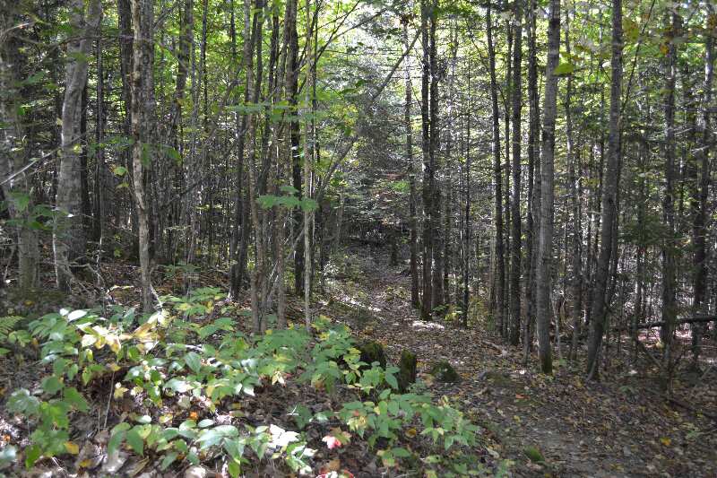
mm 34.6 - Trail looking north. GPS N45.24117 W69.99143 el.645
Submitted by at @ rohland.org