ME Section 5 Pictures - Milemarker 0.0 - 0.1
Kennebec River
Move your mouse across the pictures for more information.
0.0 MM. Steve 'Ferryman' Longley is in the back of the canoe rowing and steering two members of our group across the Kennebec River. This is the official way to cross the Kennebec on the Appalachian Trail. Update (2014): Steve Longley has recently died but the ferry service continues.
Submitted by askus3 @ optonline.net
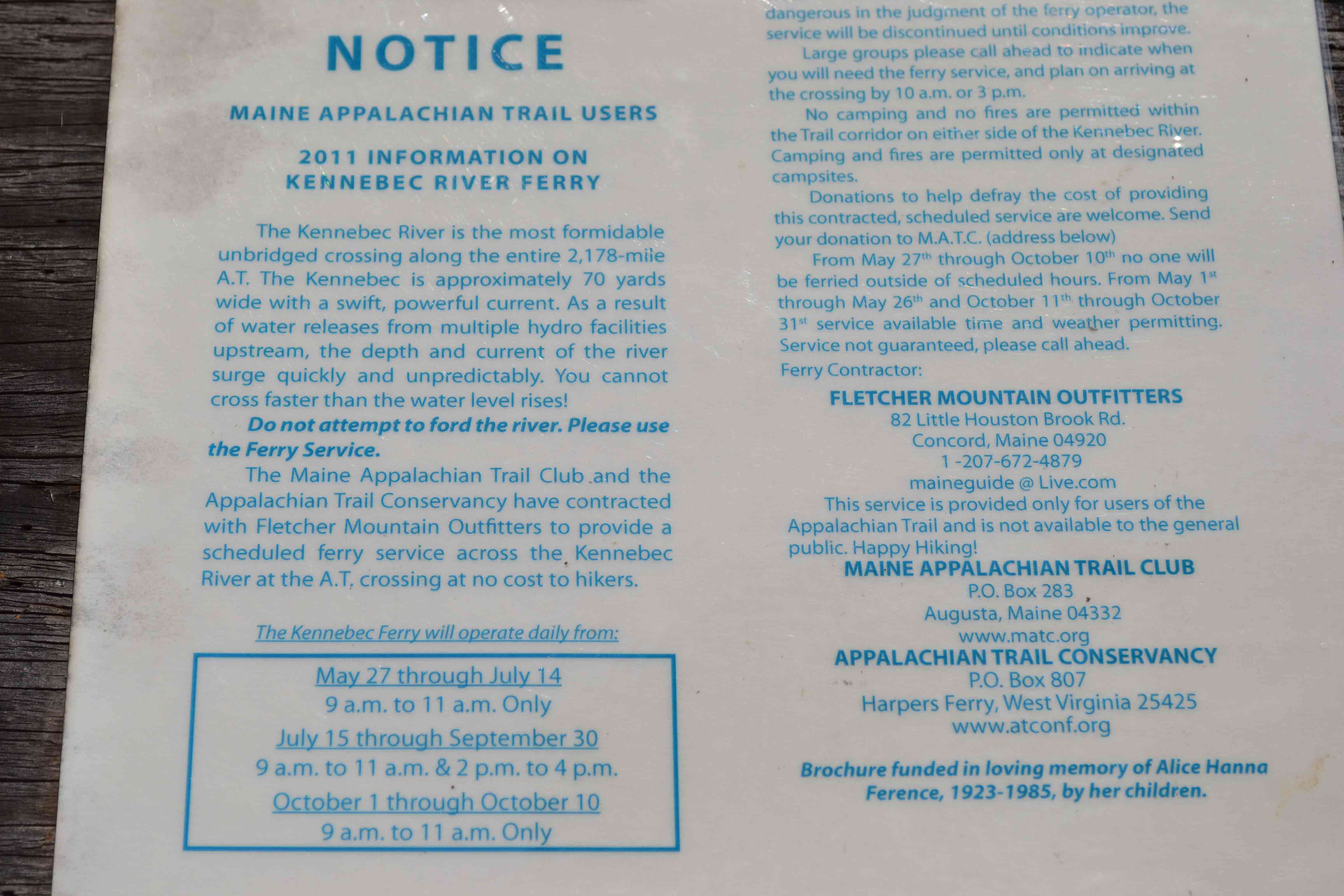
Ferry schedule
Submitted by at @ rohland.org
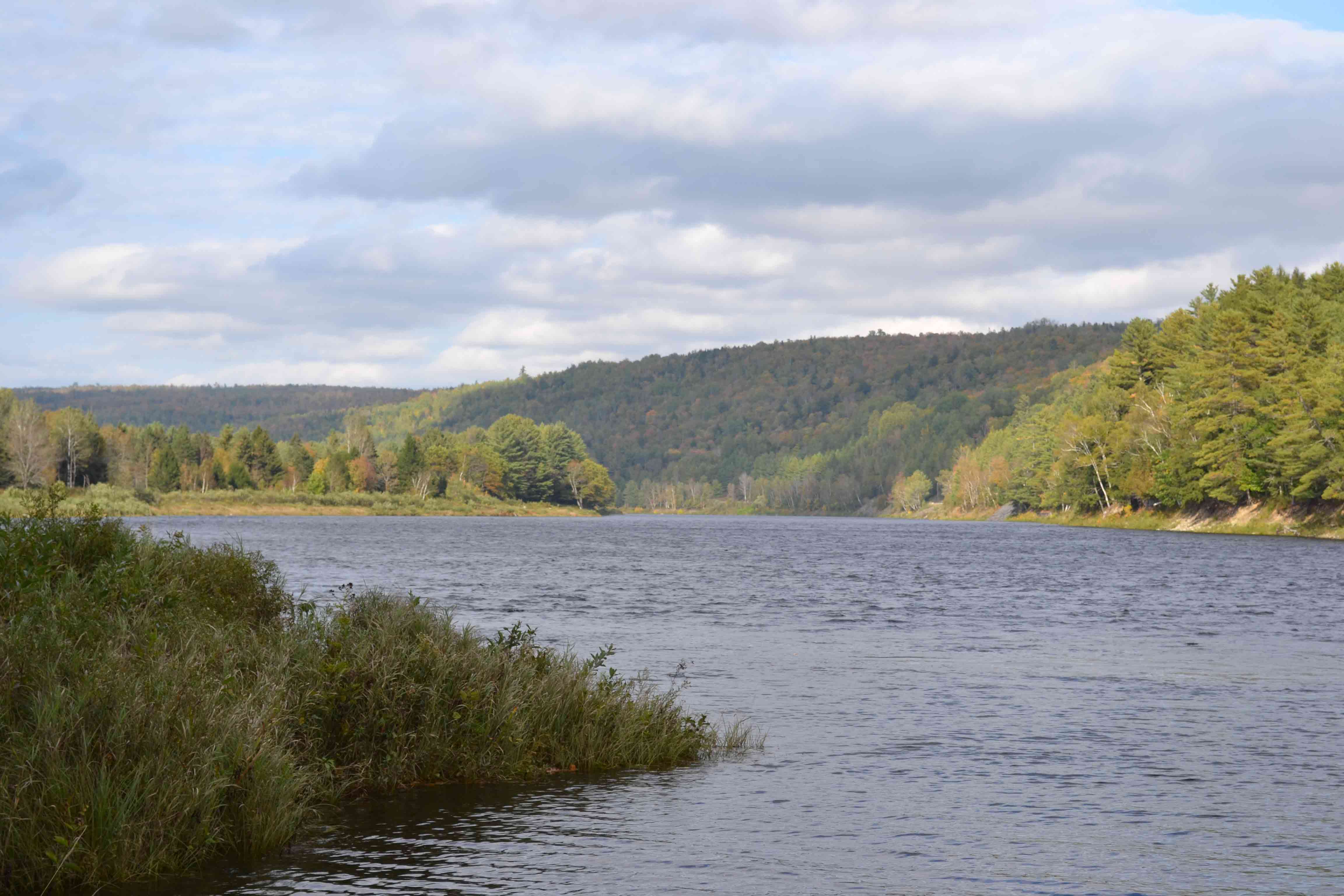
mm 0.0 - Kennebec River
Submitted by at @ rohland.org
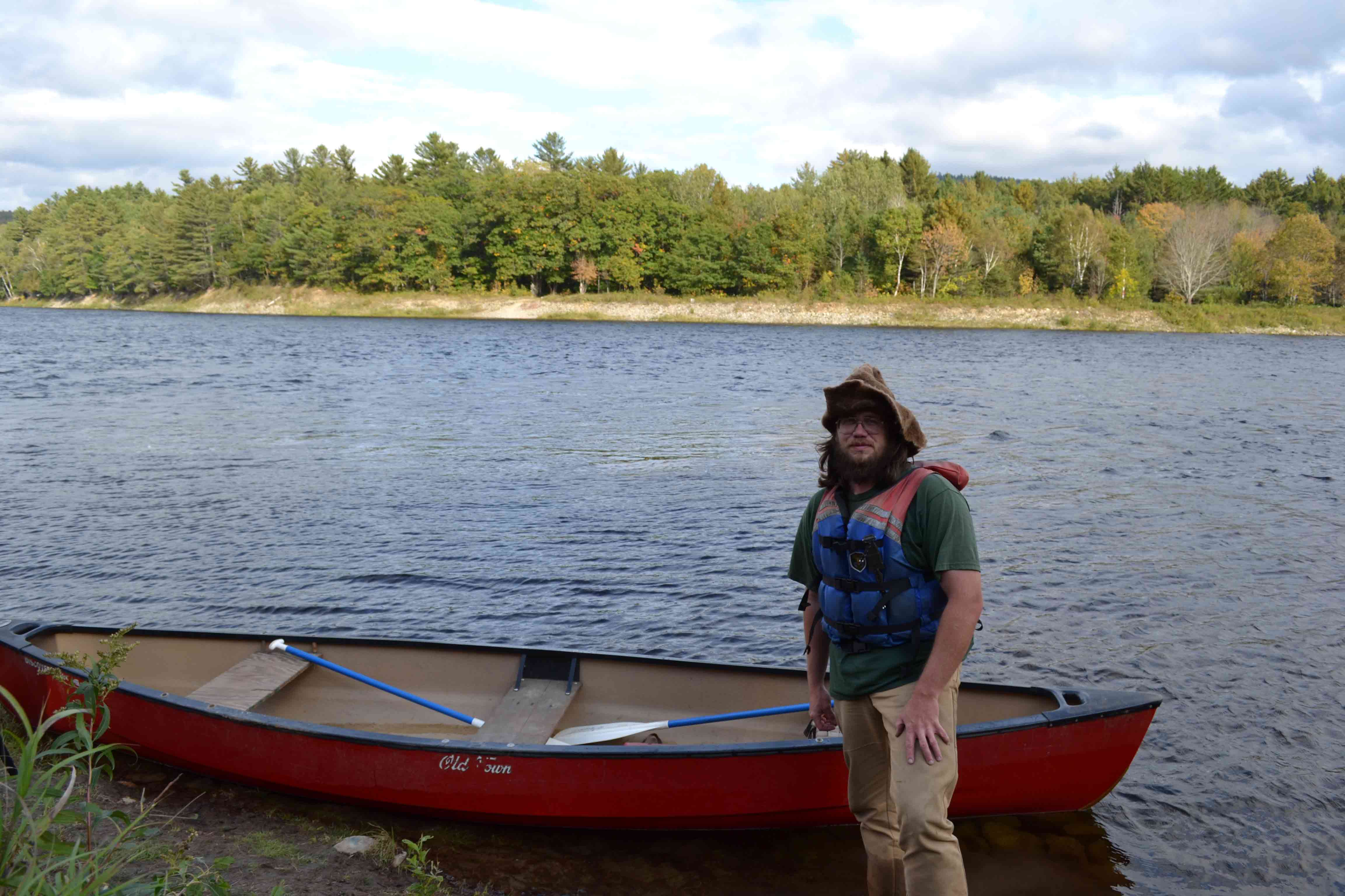
mm 0.0 - Dave: Kennebec River canoe shuttle operator
Submitted by at @ rohland.org
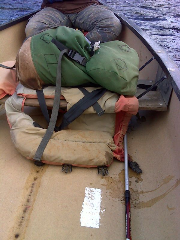
mm 0.0 White blaze on floor of canoe used to cross the Kennebec. The canoe is the official route across the river. Fording the river, an extremely dangerous undertaking, is not. GPS 45.2362 W70.0010.
Submitted by pjwetzel @ gmail.com
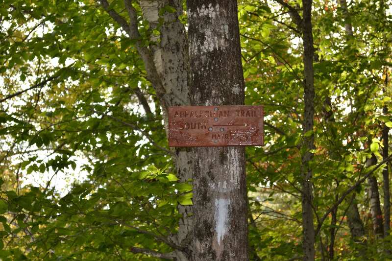
Sign post GPS N45.23548 W70.00270 el.513
Submitted by at @ rohland.org
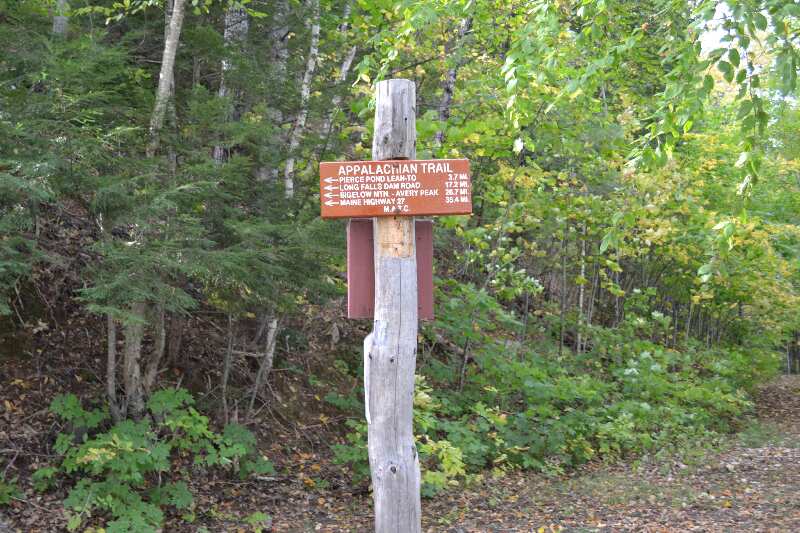
Sign post GPS N45.23548 W70.00270 el.513
Submitted by at @ rohland.org
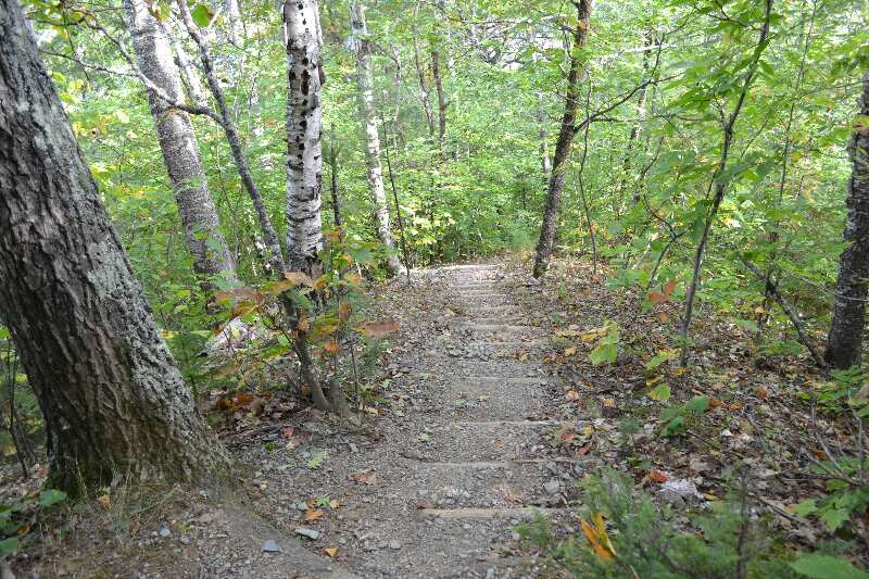
Steps on trail close to the Kennebec River GPS N45.23568 W70.00317
Submitted by at @ rohland.org