ME Section 5 Pictures - Milemarker 32.6 - 33.4
short side trail - Slab cave system
Move your mouse across the pictures for more information.
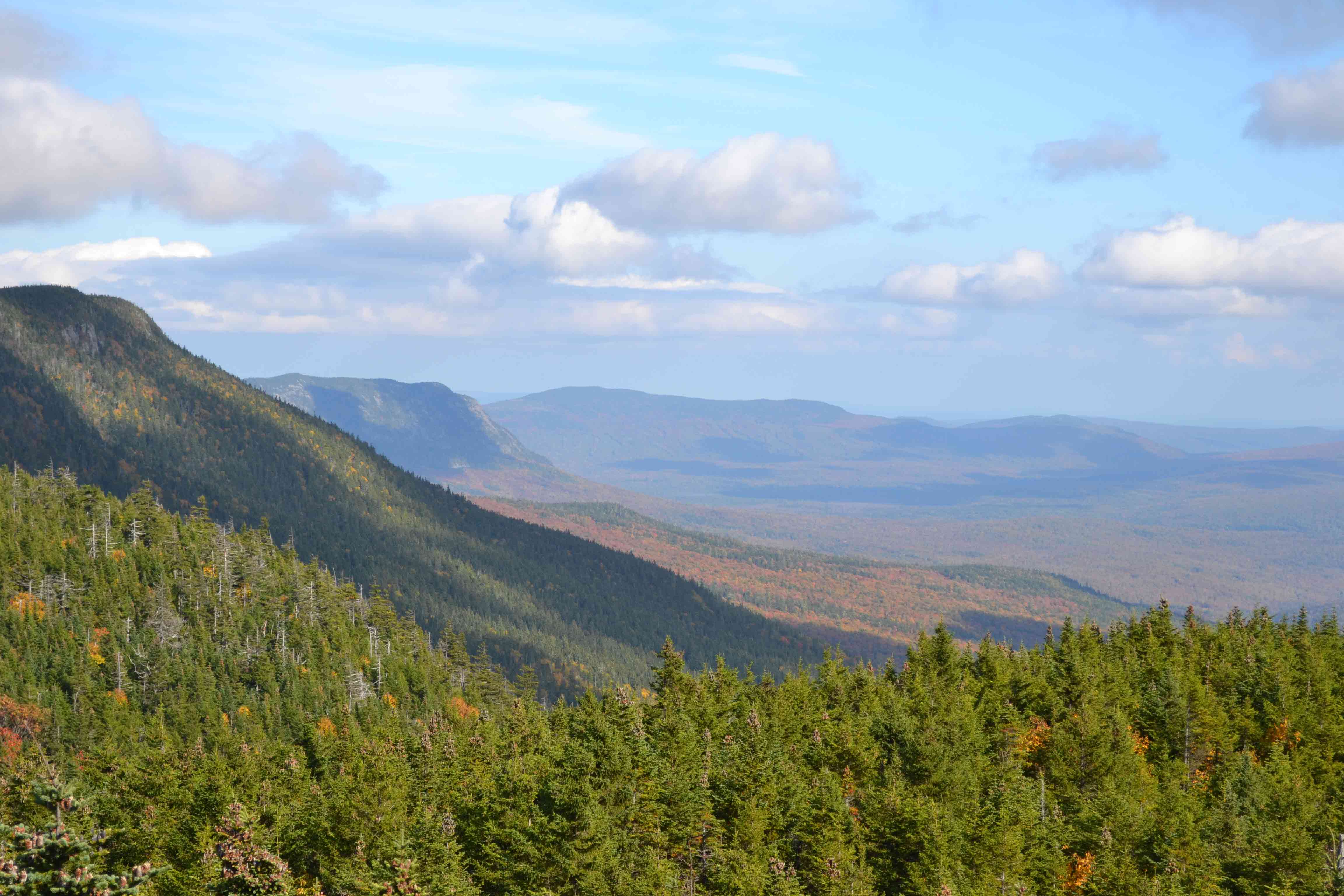
mm 32.6 - View at end of short side trail south of Sugarloaf and the Crocker Mtns. GPS N45.14267 W70.34261 el.3,374
Submitted by at @ rohland.org
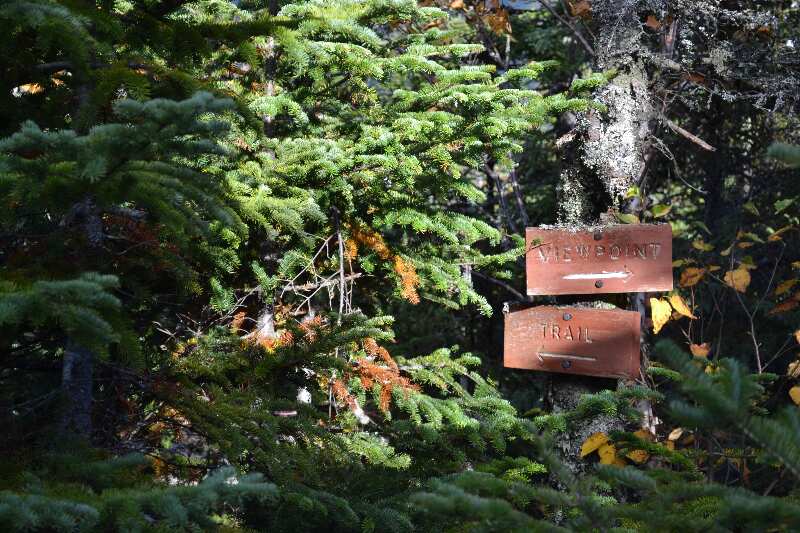
mm 32.6 - Sign for short side trail to views south of Sugarloaf and the Crocker Mtns. GPS N45.14285 W70.34268 el.3,370
Submitted by at @ rohland.org
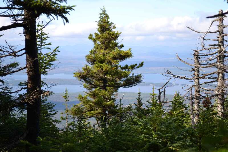
mm 32.6 - Filtered view of Flagstaff Lake GPS N45.14215 W70.34768 el.3,076
Submitted by at @ rohland.org
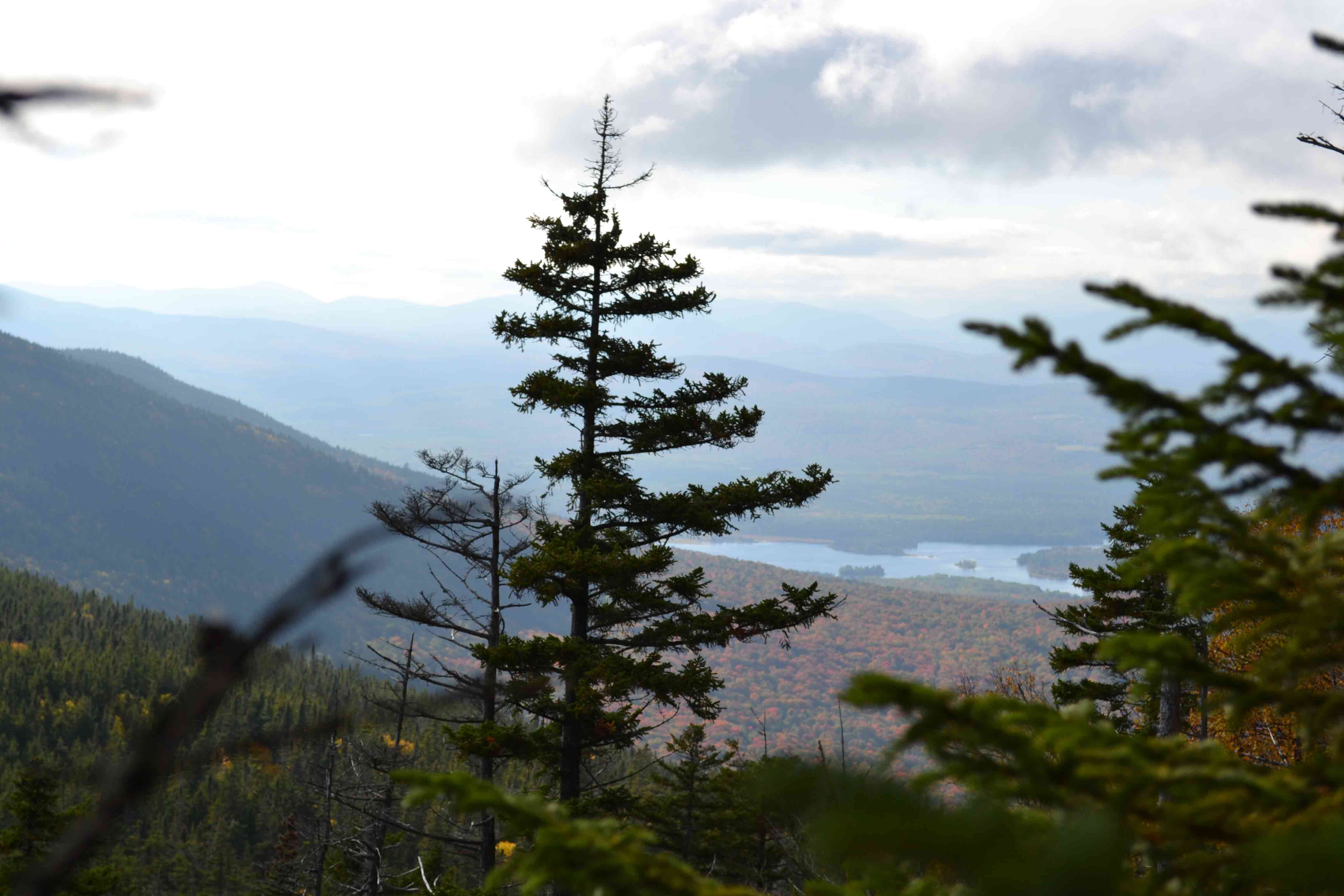
mm 32.6 - Filtered view of Flagstaff Lake GPS N45.14215 W70.34768 el.3,076
Submitted by at @ rohland.org
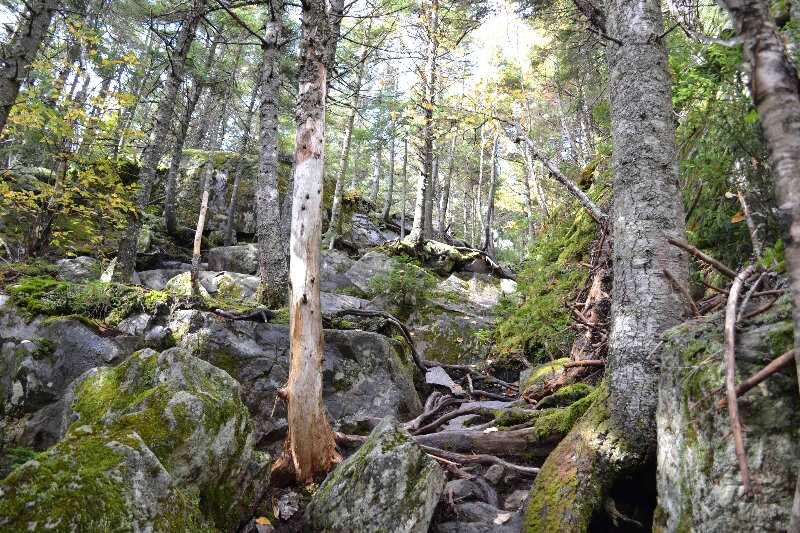
Rock climb going north GPS N45.14130 W70.35119 el.2,984
Submitted by at @ rohland.org
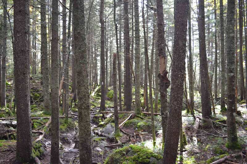
Trail looking north GPS N45.14026 W70.35282 el.2,762
Submitted by at @ rohland.org
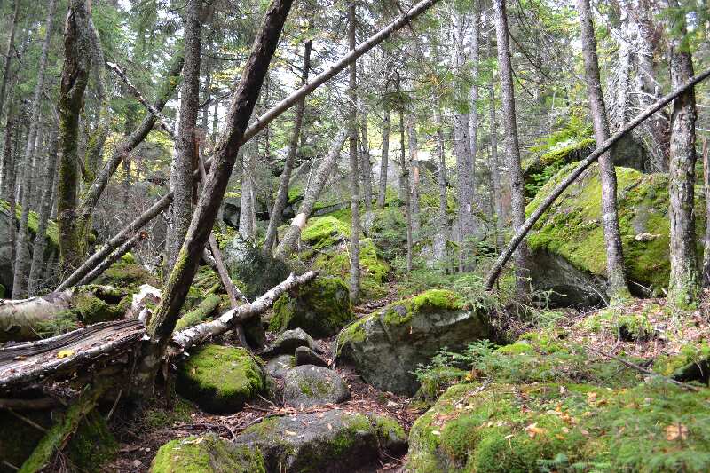
mm 33.4 - Slab cave system GPS N45.13827 W70.35394 el.2,437
Submitted by at @ rohland.org
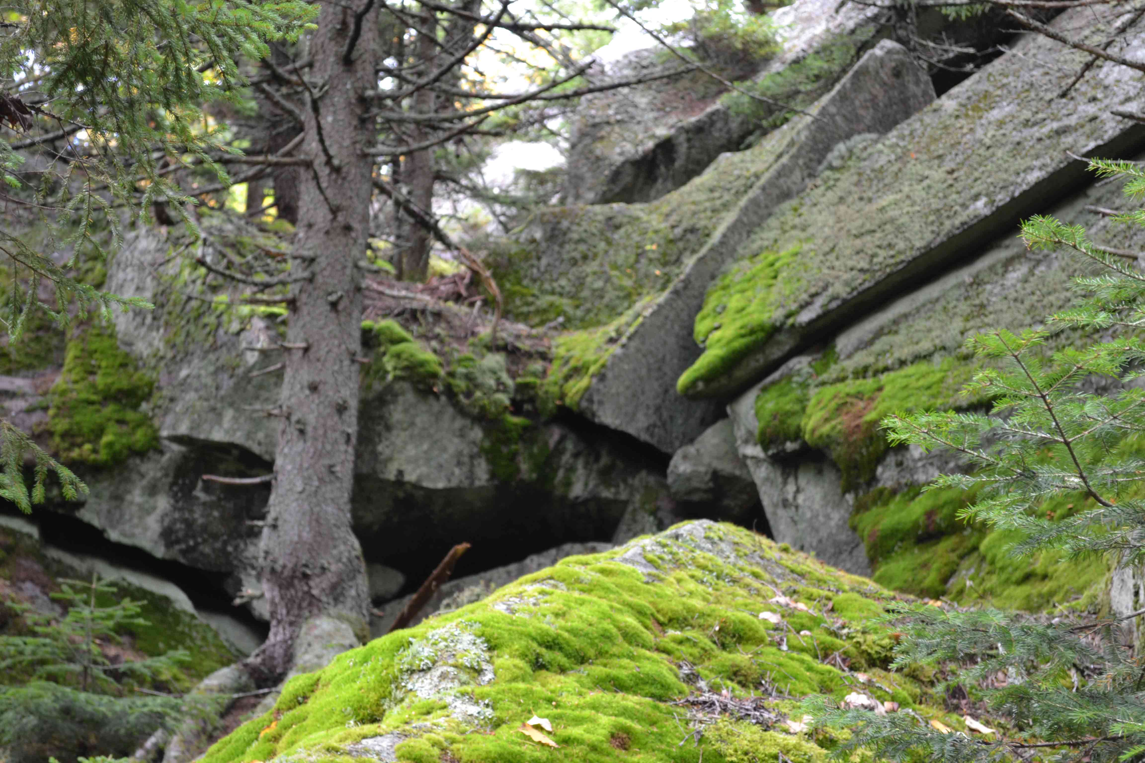
mm 33.4 - Slab cave system GPS N45.13827 W70.35394 el.2,437
Submitted by at @ rohland.org