ME Section 5 Pictures - Milemarker 36.7
ME 27
Move your mouse across the pictures for more information.
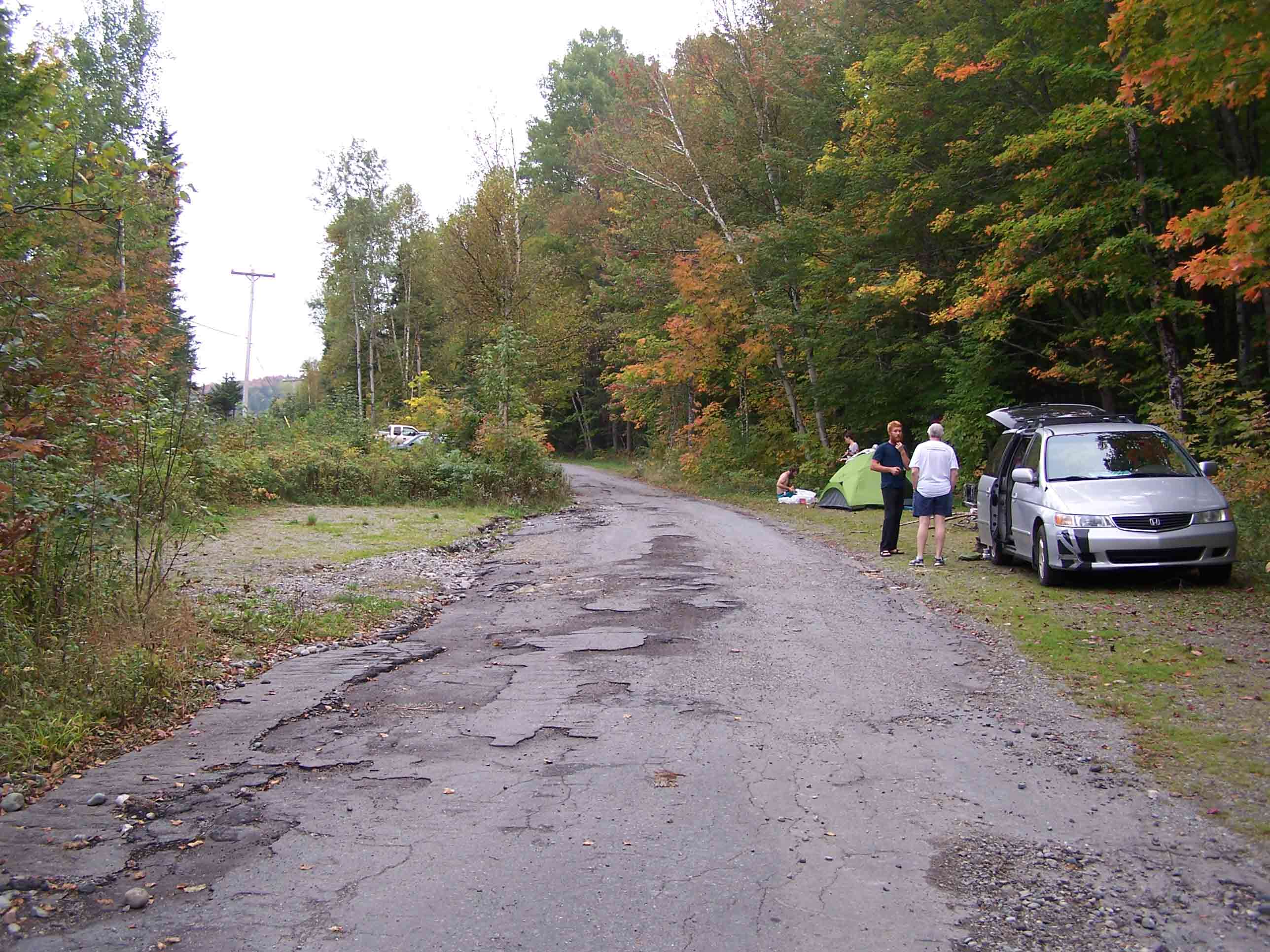
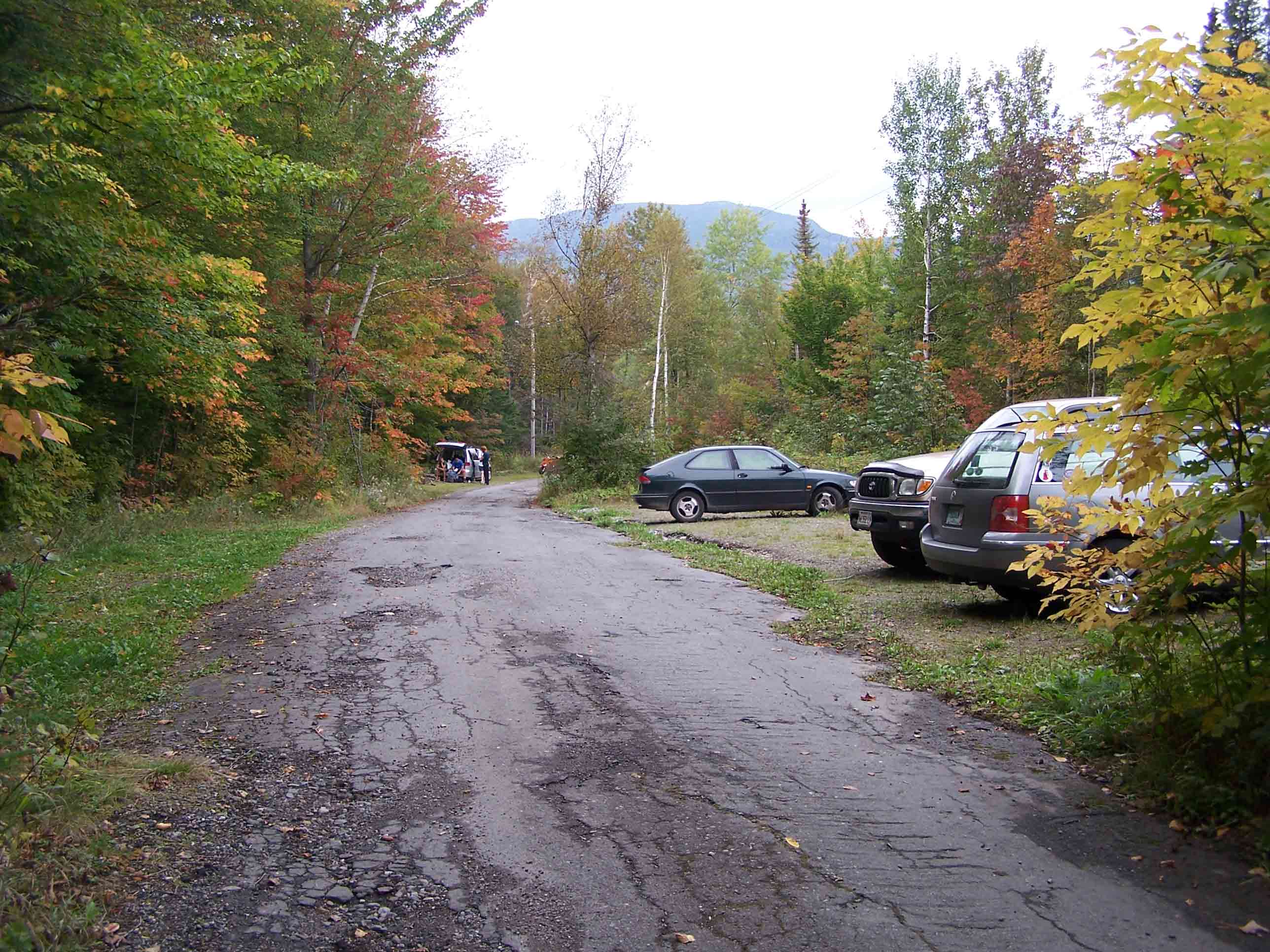
36.7 MM. This is the parking lot on ME 27, 18 miles north of Kingfield and 5.5 miles south of Stratton. Our group comprised peakbaggers and AT section hikers. Several members of our group waited here as the section hikers had to hike an additional 0.8 mile along the AT from the Stratton Brook Pond parking area before we all continued southbound to climb the Crockers.
Submitted by askus3 @ optonline.net

mm 36.7 - Off-road parking at Rt 27. GPS N45.10355 W70.35682 el. 1,423
Submitted by at @ rohland.org

mm 36.7 - Off-road parking at Rt 27. GPS N45.10355 W70.35682 el. 1,423
Submitted by at @ rohland.org