ME Section 5 Pictures - Milemarker 7.9 - 11.2
Carrying Place Road - Intersection Lane Pond Road and East Carry Pond Road
Move your mouse across the pictures for more information.
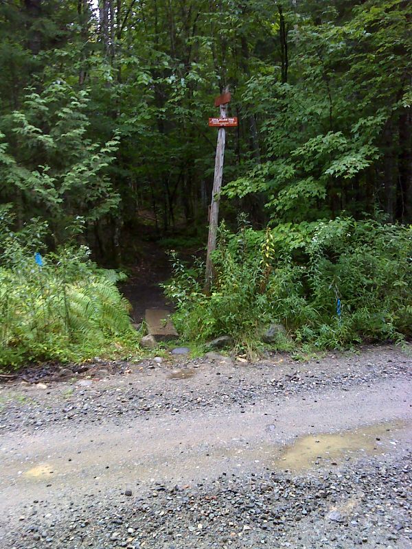
mm 7.9 AT crossing of Carrying Place Road (AKA Main Logging Road). GPS 45.2033 W70.0730
Submitted by pjwetzel @ gmail.com
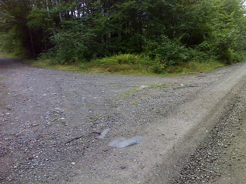
mm 7.9 Parking 250 feet from AT crossing of Carrying Place Road (AKA Main Logging Road). GPS 45.2034 W70.0739
Submitted by pjwetzel @ gmail.com
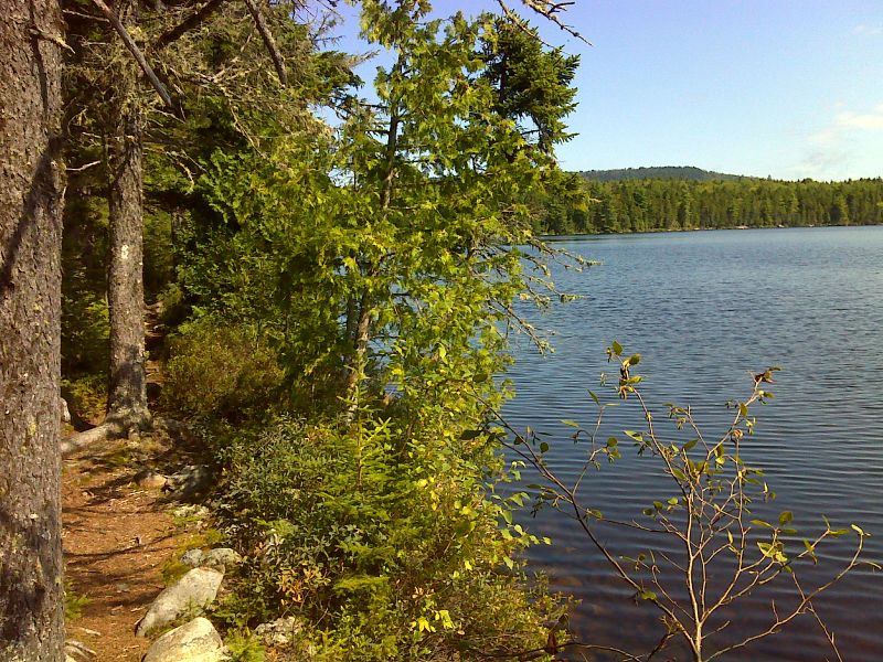
The trail hugs the shore of East Carry Pond for a long way. GPS 45.1872 W70.0558
Submitted by pjwetzel @ gmail.com
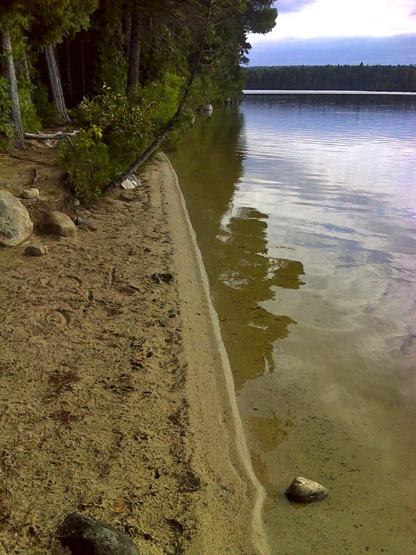
AT walks a sandy beach on East Carry Pond. Taken at approx. mm 9.9. GPS 45.1860 W70.0570
Submitted by pjwetzel @ gmail.com
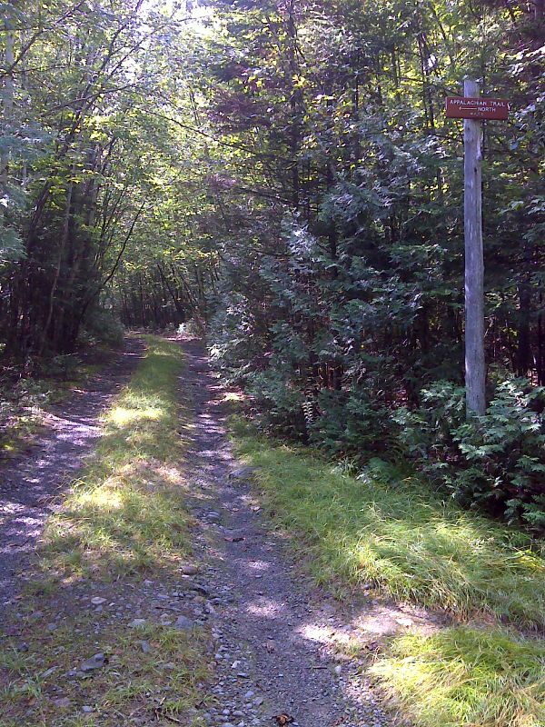
mm 10.3 The AT crosses a logging road near East Carry Pond. GPS 45.1839 W70.0612
Submitted by pjwetzel @ gmail.com
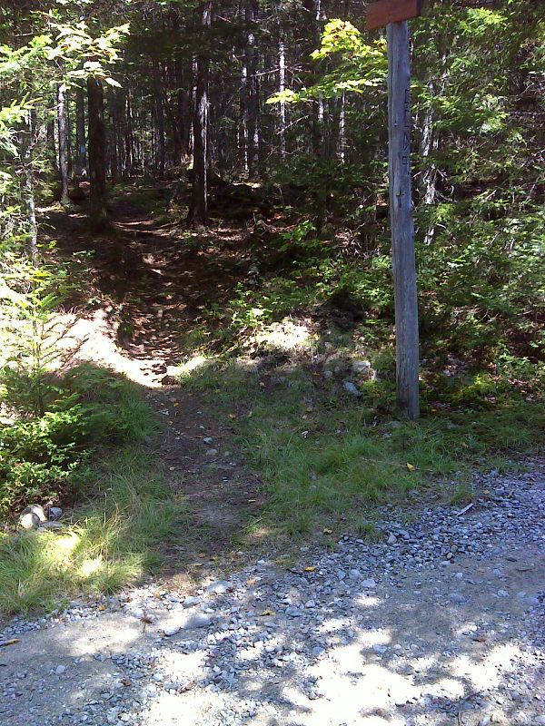
mm 11.1 The AT follows Wast Carry and Lane Pond Roads for 0.2 miles. Just past the crossing of Sandy Stream the northbound goes back into the woods at the place shown here.GPS N45.1785 W70.0725
Submitted by pjwetzel @ gmail.com
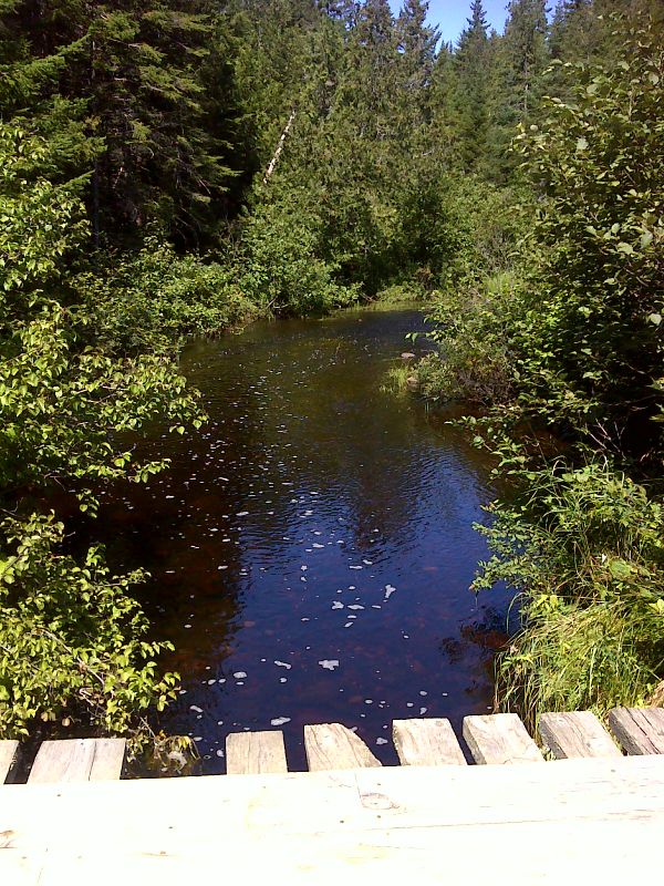
mm 11.1 Sandy Stream. GPS N45.1784 W 70.0730
Submitted by pjwetzel @ gmail.com
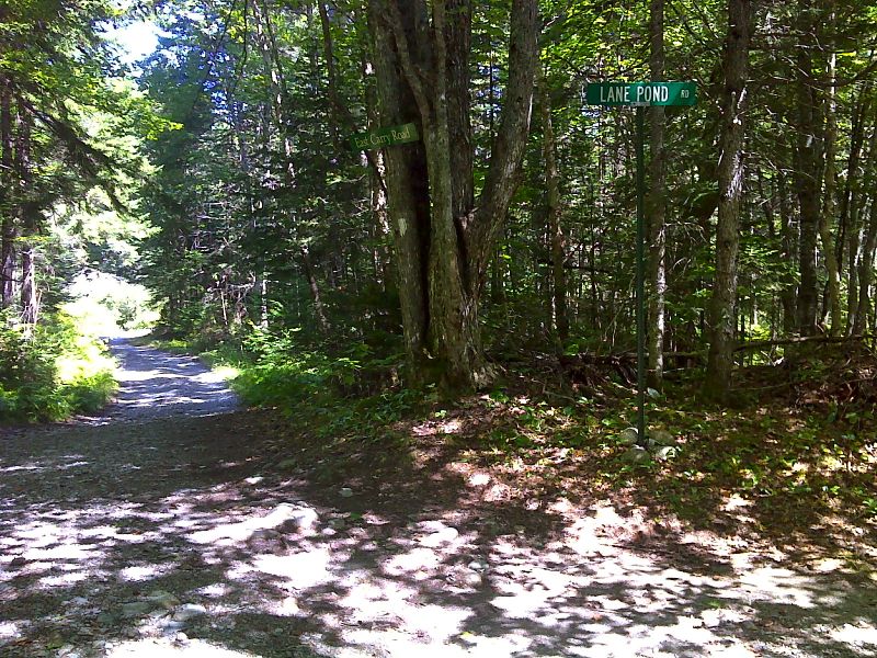
mm 11.2 Intersection of Lane Pond Road and East Carry Pond Road . From here the northbound trail follows the latter road for about 0.1 miles. GPS N45.1779 W70.0736
Submitted by pjwetzel @ gmail.com