ME Section 5 Pictures - Milemarker 11.5 - 17.2
Arnold Swamp - Long Falls Dam Road
Move your mouse across the pictures for more information.

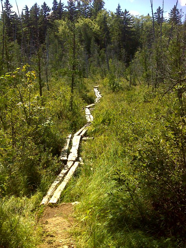
mm 11.5 Arnold Swamp. GPS N45.1764 W 70.0763
Submitted by pjwetzel @ gmail.com

mm 11.5 Arnold Swamp bog bridges . GPS N45.1766 W 70.0761
Submitted by pjwetzel @ gmail.com

mm 13.7 West Carry Pond from near the West Carry Pond Lean-to. GPS N45.1586 W 70.0998
Submitted by pjwetzel @ gmail.com

mm 13.7 West Carry Pond Lean-to. GPS N45.1580 W 70.0997
Submitted by pjwetzel @ gmail.com

mm 15.5 Mushroom and moss at high point of AT on Roundtop Mountain. GPS N45.1580 W 70.0997
Submitted by pjwetzel @ gmail.com
13.7 MM. Round Top Mountain holds sentinel over West Carry Pond. This was a spectacular autumn day. We ate lunch here while enjoying this vista from the lakeshore.
Submitted by askus3 @ optonline.net

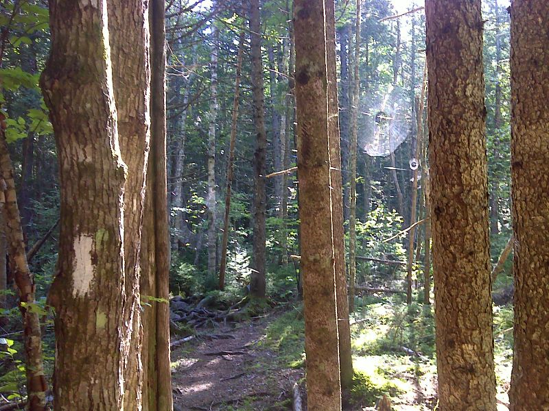
Webs in the morning sun. GPS N45.1555 W70.1522.
Submitted by pjwetzel @ gmail.com
17.2 MM. This is the AT crossing of Long Falls Dam Road. What makes this road crossing so special is that if you are hiking the Appalachian Trail northbound from Georgia, you have reached the 2,000 mile marker which is painted on the pavement in the middle of the road. Since this photo was taken, the town painted yellow stripes down the middle of the road, so the mileage marker now straddles the double solid line. (Update (2012). The true 2000 mile mark is now several miles further south and this marking on the road may no longer be there.
Submitted by askus3 @ optonline.net