ME Section 5 Pictures - Milemarker 31.1 - 32.6
Long Falls Dam Road - Short Side Trail
Move your mouse across the pictures for more information.

mm 31.1 Sugar Loaf as seen from South Horn. GPS N45.1453 W70.3241
Submitted by pjwetzel @ gmail.com

Flagstaff Lake and windmill farm from the slopes of South Horn. GPS N45.1455 W70.3248
Submitted by pjwetzel @ gmail.com
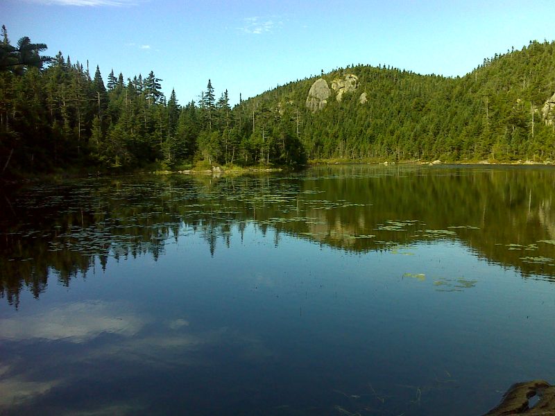
mm 31.6 Horns Pond. GPS N45.1444 W70.3304
Submitted by pjwetzel @ gmail.com
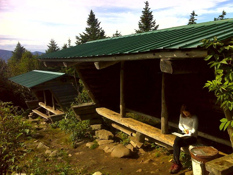
mm 31.6 Horns Pond Lean-tos. GPS N45.1440 W70.3296
Submitted by pjwetzel @ gmail.com
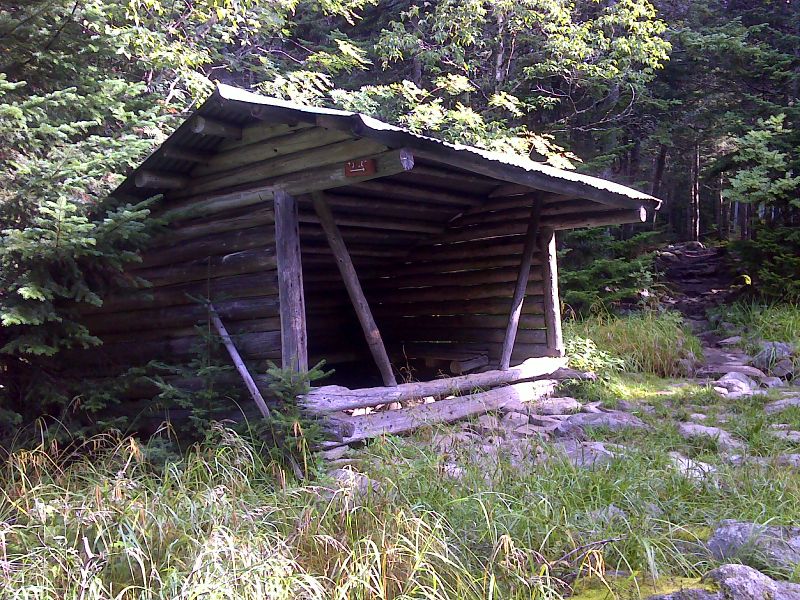
mm 31.6 Old Horns Bond Lean-to built in 1936. It was still standing in August 2012. It is now day-use only. GPS N45.1442 W70.3303
Submitted by pjwetzel @ gmail.com
31.9 MM. What an awesome view of tranquil Horns Pond below you and the two Horns (North and South) beyond. This 50 yard short spur for this view is well worth the side trip. Many backpackers and moose love to stay at the scenic Horns Pond campsite located by the lake.
Submitted by askus3 @ optonline.net
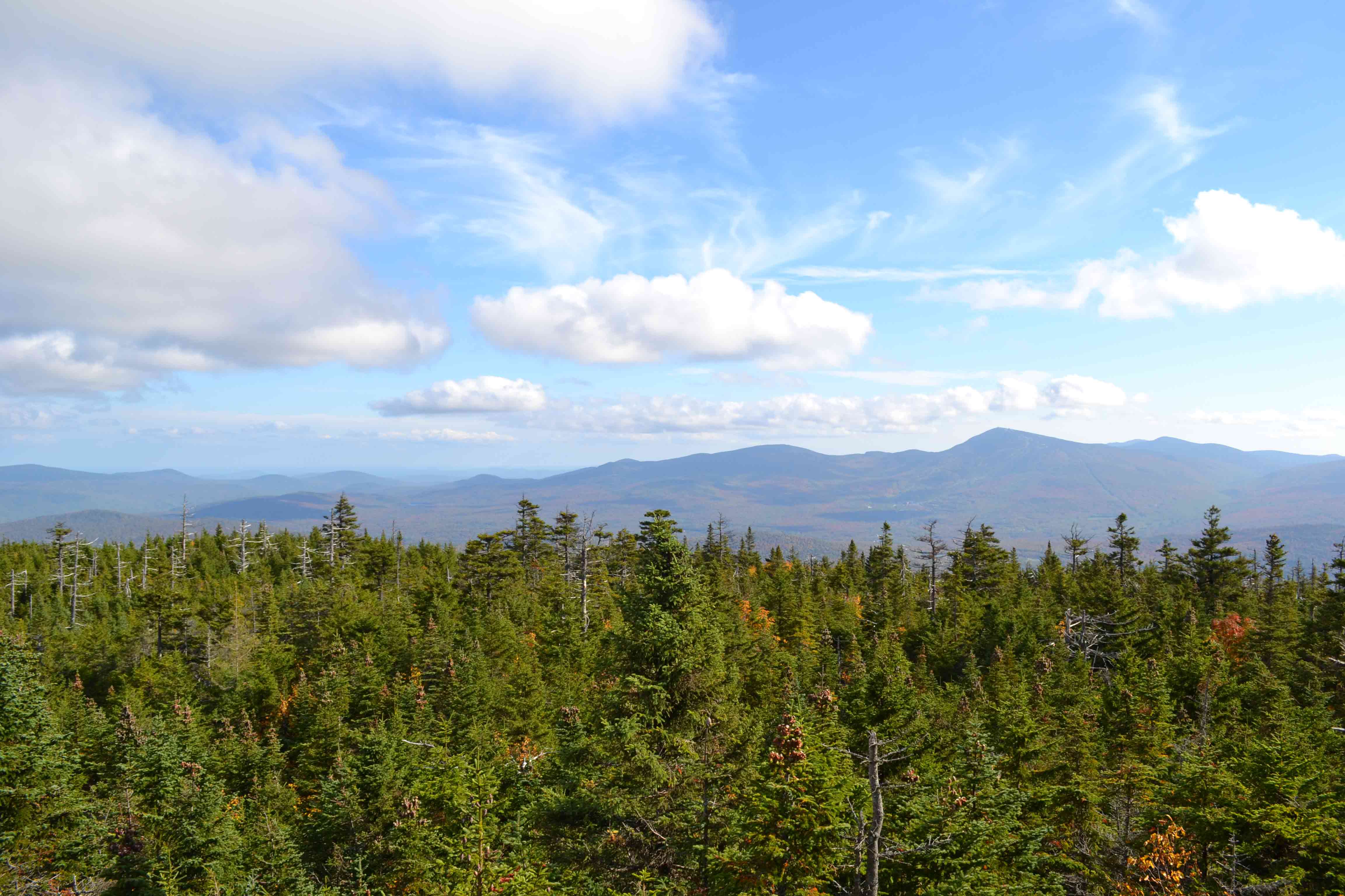
mm 32.6 - View at end of short side trail south to Sugarloaf and the Crocker Mtns. GPS N45.14267 W70.34261 el.3,374
Submitted by at @ rohland.org