ME Section 6 Pictures - Milemarker 15.7 - 22.9
Lone Mt. - Saddleback Junior
Move your mouse across the pictures for more information.
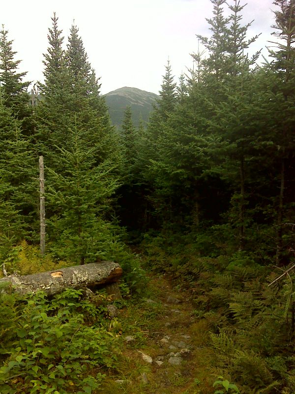
mm 15.7 Glimpse of Mt. Abraham from near summit of Lone Mt. GPS N44.9748 W 70.3610
Submitted by pjwetzel @ gmail.com
16.8 MM. Here is my Dodge Caravan negotiating the infamous Perham Stream Logging Road. This is probably the roughest approach road used to access the Apalachian Trail anywhere in its course from Georgia to Maine.
Submitted by askus3 @ optonline.net
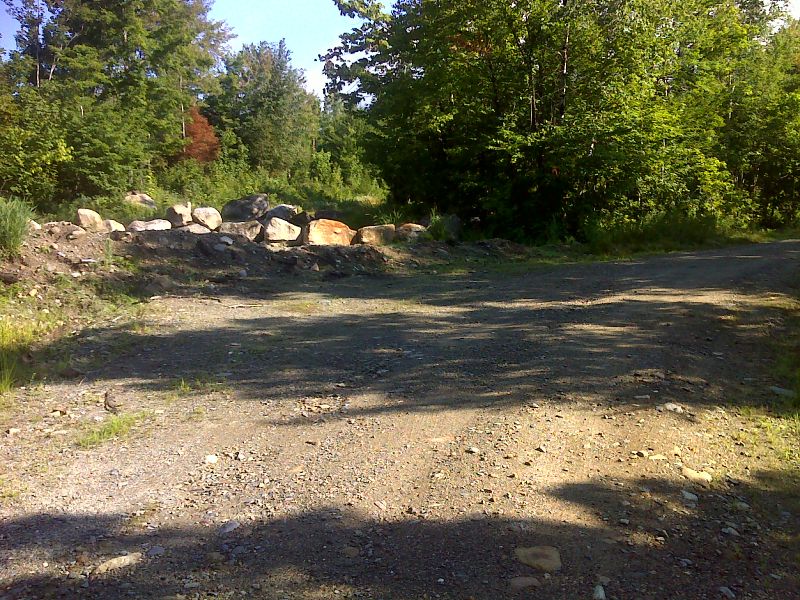
mm 16.8 Closed Perham Stream Road 9.2 miles from ME 142. Taken in August 2012. One must walk the remaining 1.5 miles to the AT crossing. GPS N44.9549 W70.3703
Submitted by pjwetzel @ gmail.com
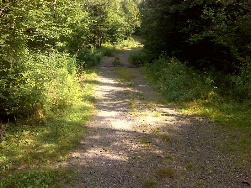
mm 16.8 AT crossing of Perham Stream Road. Note the poor condition of the bridge across Perham Stream in the center of the picture. It has effectively been washed out. GPS 44.9749 W70.3752
Submitted by pjwetzel @ gmail.com
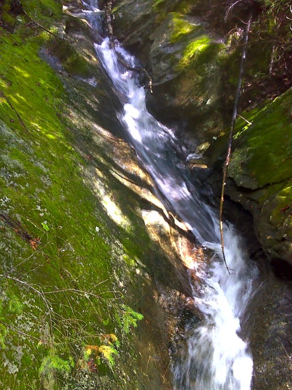
mm 18.0 Sluice Brook sluice. GPS N44.9733 W70.4057
Submitted by pjwetzel @ gmail.com

mm 18.8 Johannes from Munich at Oberton Stream. GPS N44.9734 W70.4070
Submitted by pjwetzel @ gmail.com
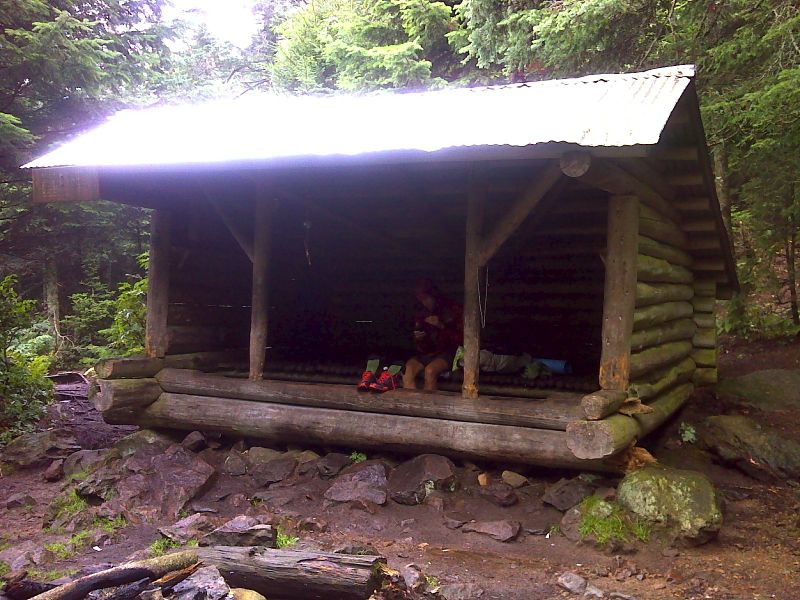
mm 21.5 Poplar Ridge Shelter. GPS N44.9701 W70.4459
Submitted by pjwetzel @ gmail.com
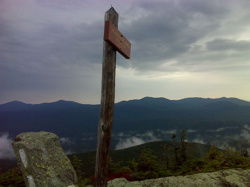
mm 22.9 Looking north to Spaulding Mt. and Sugarloaf from Saddleback Junior. GPS N44.9581 W70.4572
Submitted by pjwetzel @ gmail.com