ME Section 6 Pictures - Milemarker 24.2 - 26.5
Redington Stream Campsite - Saddleback Mountain
Move your mouse across the pictures for more information.
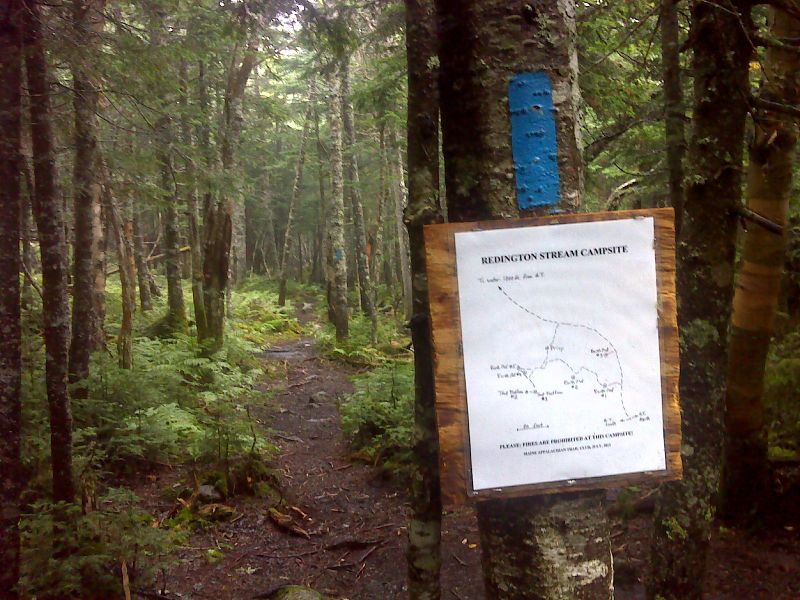
mm 24.2 Side Trail to Redington Stream Campsite. GPS N44.9512 W70.4752
Submitted by pjwetzel @ gmail.com
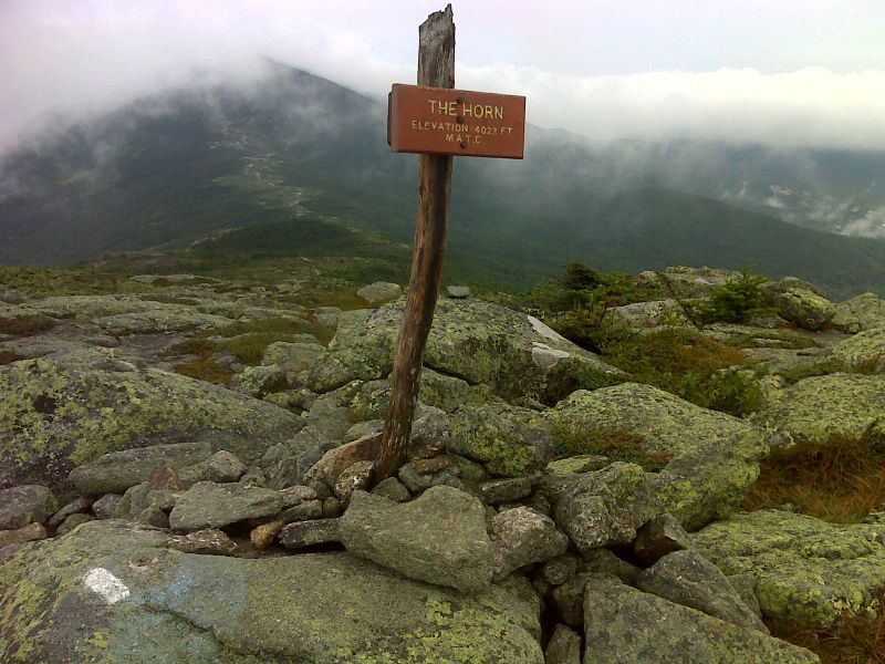
mm 24.9 Morning view from the summit of the Horn. GPS N44.9511 W70.4875
Submitted by pjwetzel @ gmail.com
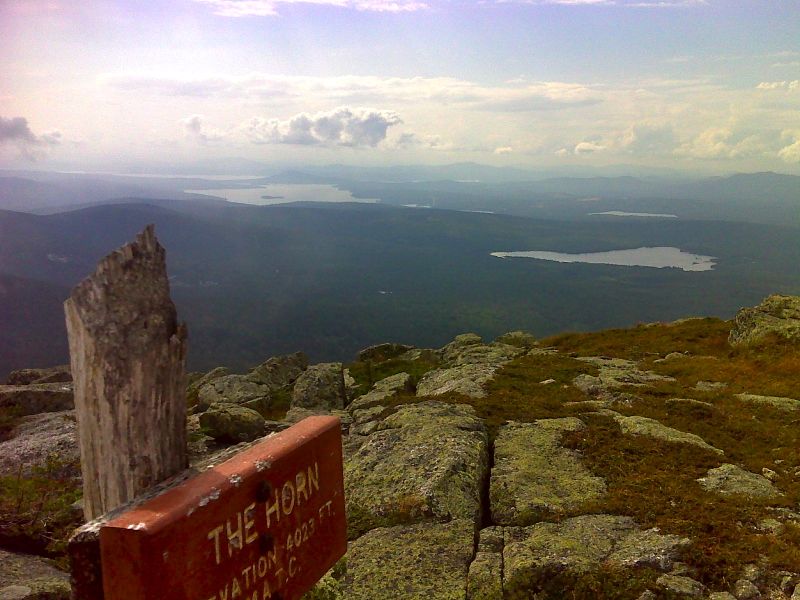
mm 24.9 Rangely Lakes from the summit of the Horn. GPS N44.9510 W70.4875
Submitted by pjwetzel @ gmail.com
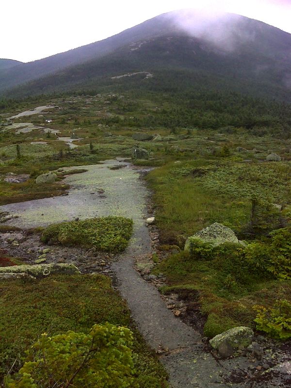
mm 25.9 Saddle between Saddleback Mt. and The Horn. GPS N44.9434 W70.4974
Submitted by pjwetzel @ gmail.com
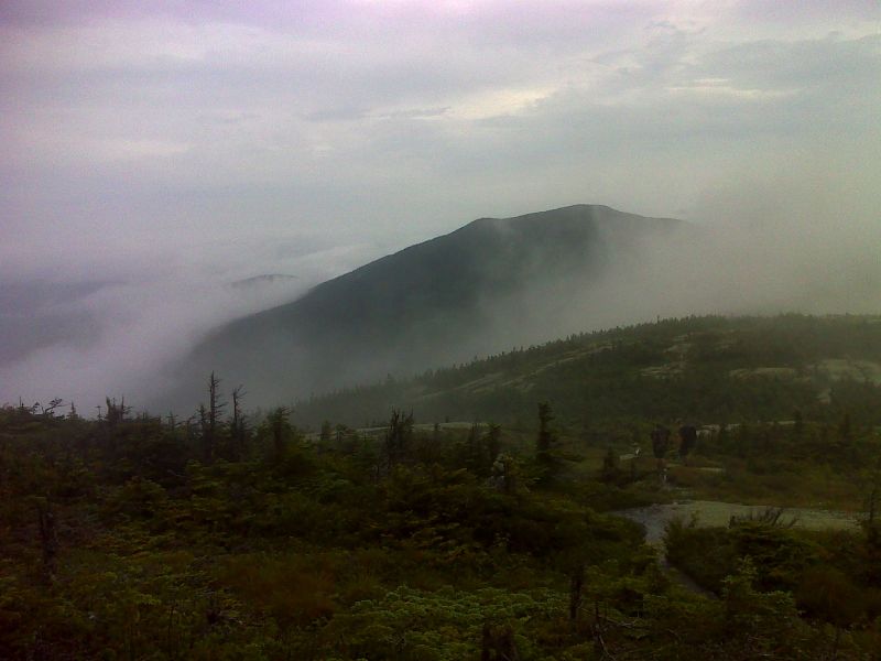
View from north slopes of Saddleback Mt. as the fog starts to lift. GPS N44.9418 W70.4992
Submitted by pjwetzel @ gmail.com
26.5 MM. From the summit of Saddleback Mountain (4120 feet), you can see the parking lots of the Saddleback Ski Area which is the chairlift ski slope access point. Beyond is Dallas Hill Road which is the approach road and Saddleback Lake.
Submitted by askus3 @ optonline.net
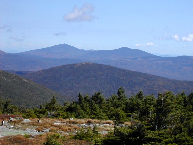
26.5 MM. The view back north shows we've come a long way in this section as we see from the summit of Saddleback - Sugarloaf (left) and Spaulding (right) and in the foreground is Saddleback Junior.
Submitted by askus3 @ optonline.net
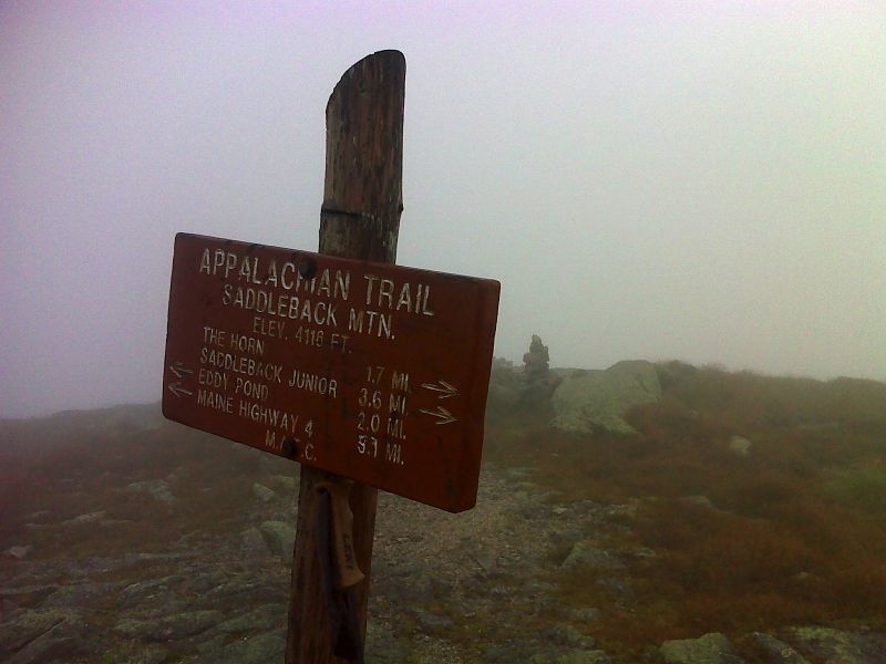
mm 26.5. Summit of Saddleback Mt. in the fog. GPS N44.9365 W70.5408
Submitted by pjwetzel @ gmail.com