ME Section 6 Pictures - Milemarker 34.3 - 41.6
South Pond - Sabbath Day Pond
Move your mouse across the pictures for more information.
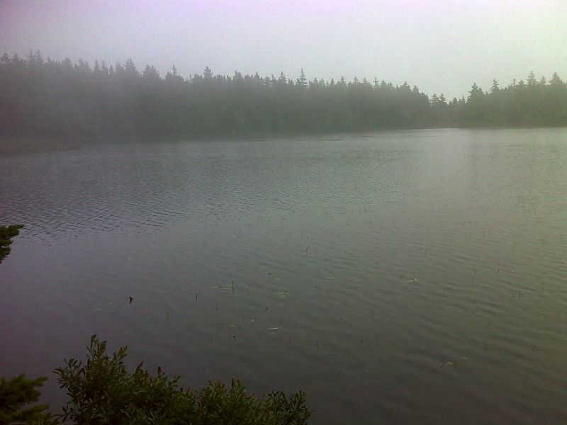
mm 34.3 South Pond on a very overcast day. GPS N44.8878 W70.5690
Submitted by pjwetzel @ gmail.com
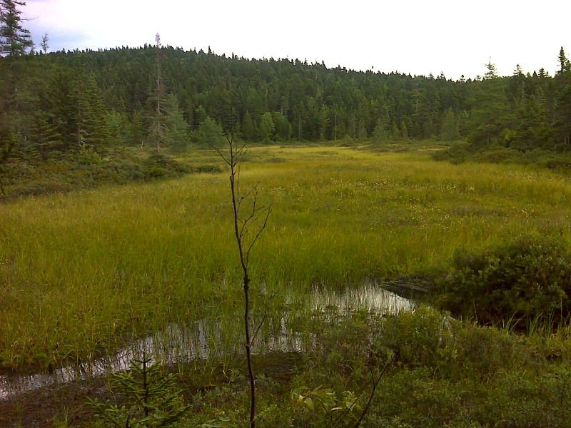
mm 35.8 Large bog draining into Chandler Mill Stream. GPS N44.8585 W70.5810
Submitted by pjwetzel @ gmail.com
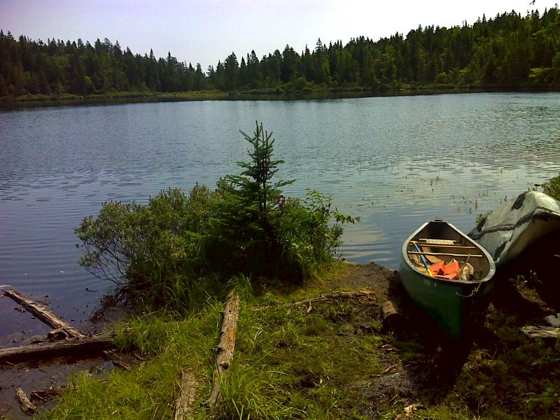
mm 37.0 Little Swift River Pond. GPS N44.8505 W70.5908
Submitted by pjwetzel @ gmail.com
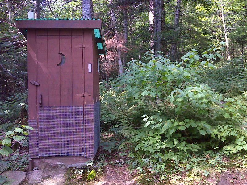
mm 37.0 Privy for Little Swift Pond River Campsite. It is right on the AT. Note white blaze. GPS N44.8501 W70.5921
Submitted by pjwetzel @ gmail.com
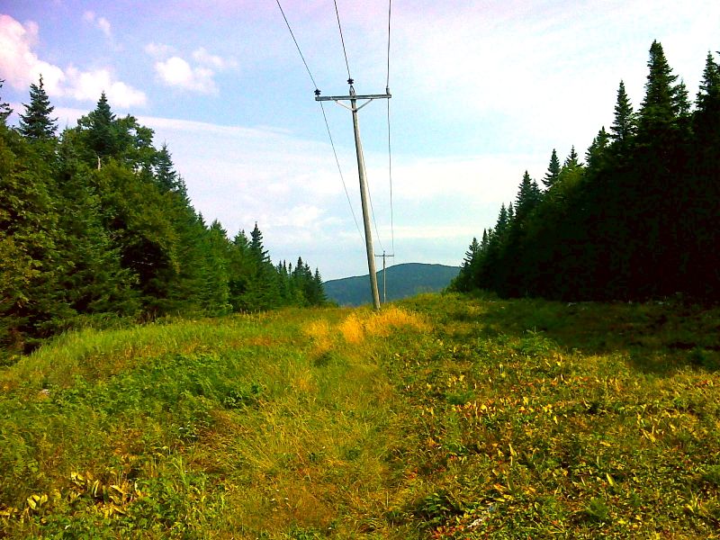
mm 39.9 Power Line Crossing. GPS N44.8448 W70.6362
Submitted by pjwetzel @ gmail.com
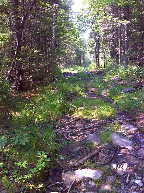
mm 41.1 Houghton River Fire Road. GPS N44.8429 W70.6559
Submitted by pjwetzel @ gmail.com
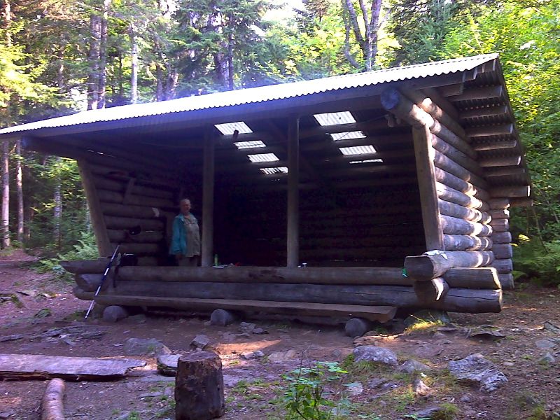
mm 41.6 Sabbath Day Pond Lean-to. GPS N44.8409 W70.6621
Submitted by pjwetzel @ gmail.com
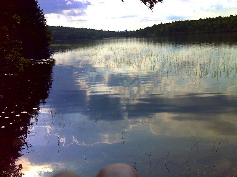
mm 41.6 Sabbath Day Pond . GPS N44.8404 W70.6627
Submitted by pjwetzel @ gmail.com