ME Section 7 Pictures - Milemarker 3.0 - 6.3
Second Peak of Bemis Range - West Peak of Bemis Range
Move your mouse across the pictures for more information.
3.0 MM. View from ledge near summit of the Second Peak of the Bemis Range. You look back on ME 17 and Long Pond. You also see Spruce Mt., Horn Hill and Four Ponds Mountain. Notice how the AT would descend from ME 17 before climbing up the Bemis Range.
Submitted by askus3 @ optonline.net
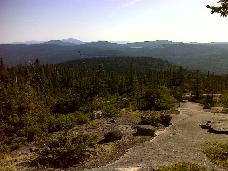
mm 3.1 View from Second Peak of Bemis Range. The parking overlook on ME 17 can be seen approximately in the center of the picture. GPS 44.8254 W70.7457
Submitted by pjwetzel @ gmail.com
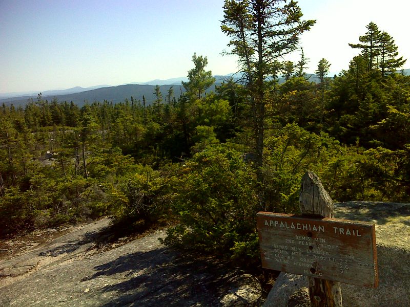
mm 3.1 Summit of Second Peak of Bemis Range. GPS 44.8254 W70.7483
Submitted by pjwetzel @ gmail.com
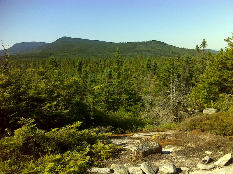
View from slopes of Second Peak of Beamis Range. Peaks visible (L to R) are Elephant Mt., main summit of the Beamis Range and Third Peak. Taken at approx. mm 3.3. GPS N44.8226 W-70.8643
Submitted by pjwetzel @ gmail.com
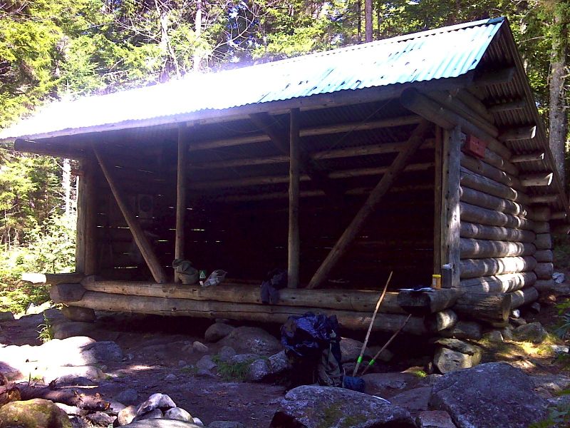
mm 4.6 Beamis Mt. Lean-to. GPS 44.102 W70.7558
Submitted by pjwetzel @ gmail.com
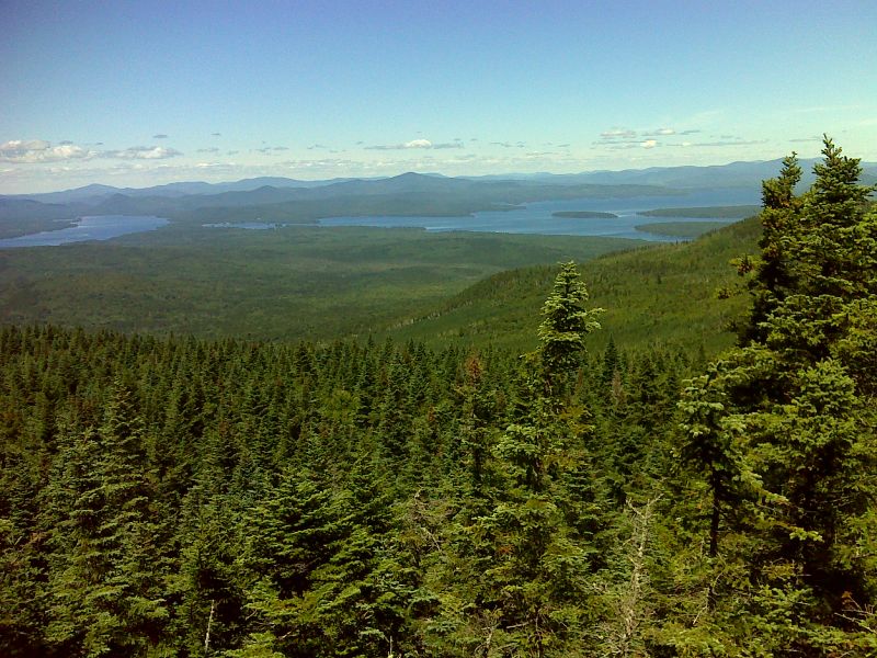
Upper Randolph and Mooselookmeguntic lakes from slopes of Bemis Mt. Taken at approx. mm 5.9. GPS N44.8004 W70.7642
Submitted by pjwetzel @ gmail.com
6.3 MM. This view from West Peak of Bemis Mountain (elev. 3,592 feet) includes Jackson and Tumbledown Mountains as well as Little Ellis Pond.
Submitted by askus3 @ optonline.net
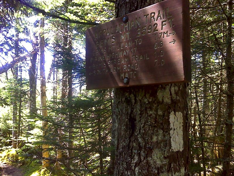
mm 6.3 Sign at wooded summit of west peak of Bemis Mt. GPS N44.7949 W70.7684
Submitted by pjwetzel @ gmail.com