ME Section 7 Pictures - Milemarker 41.6 - 44.0
Mahoosuc Notch - North Goose Eye Peak
Move your mouse across the pictures for more information.
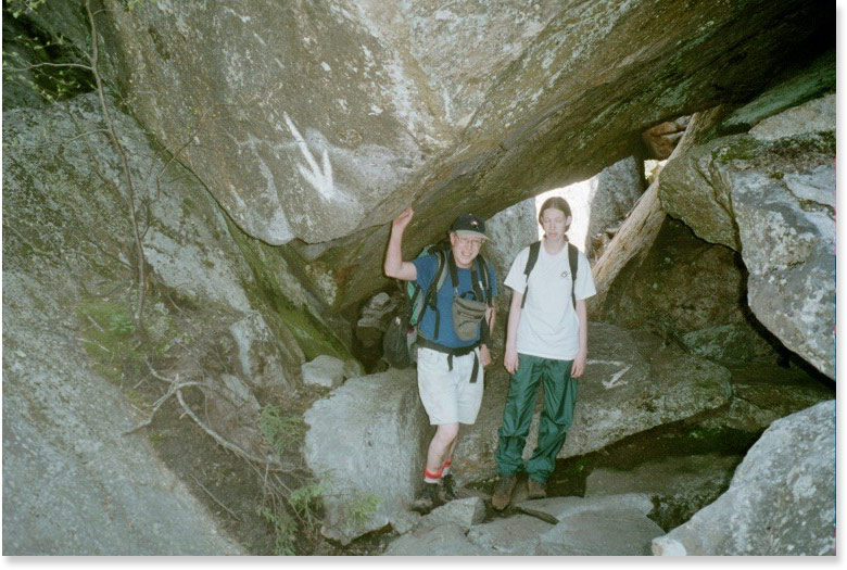
41.6 MM. In the Mahoosuc Notch the AT twists under, over and around boulders as it winds its way along the toughest mile on the entire 2,000 mile route. Here Aaron and Stacy (his daughter) pose under a boulder with the AT markings indicating the route under.
Submitted by askus3 @ optonline.net
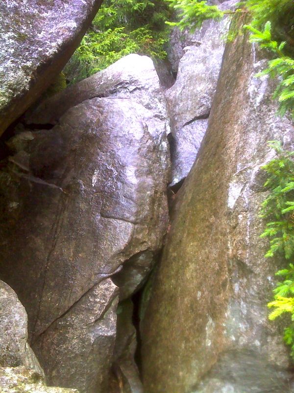
Mahoosuc Notch. This shot features the foothold that did not hold for the photographer. Taken at approx. mm 41.7. GPS N44.5395 W 70.9885
Submitted by pjwetzel @ gmail.com
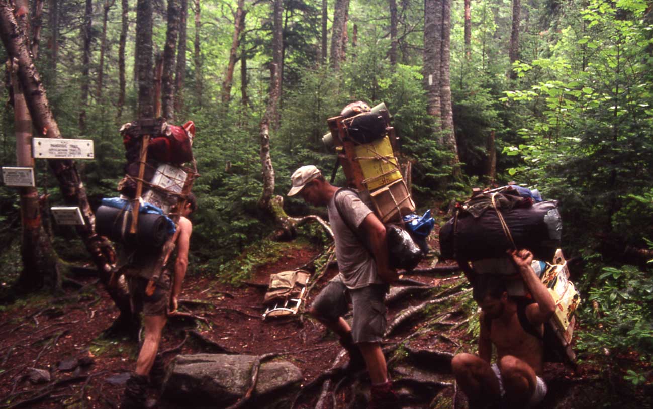
41.9 MM. After hiking throught the Mahoosuc Notch southbound, you come to this junction with the Notch Trail. This is another access point with a trail coming up 1.9 miles from Success Pond Road. In this photo I met several AMC Trail maintainers doing a work trip on the AT. Notice how heavy their packs are. This picture was taken on July 25, 1990.
Submitted by askus3 @ optonline.net
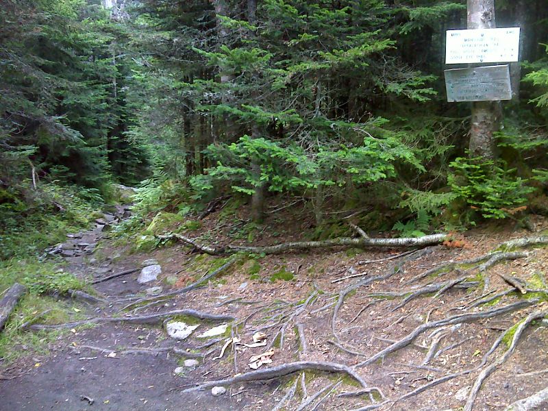
mm 41.9 Junction with the Notch Trail. GPS N44.5377 W 70.9903
Submitted by pjwetzel @ gmail.com
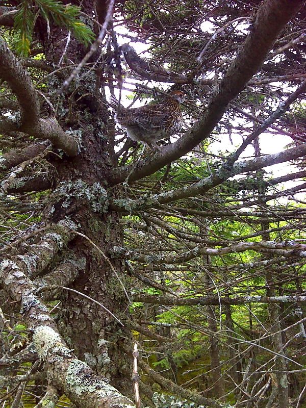
Fledgling spruce grouse. It can fly a few yards. GPS N44.5311 W70.98111
Submitted by pjwetzel @ gmail.com
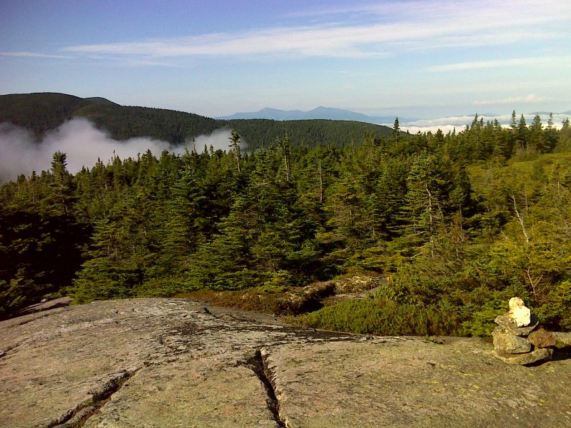
mm 42.9 Morning view from south peak of Fulling Mill Mt. GPS N44.5305 W70.9801
Submitted by pjwetzel @ gmail.com
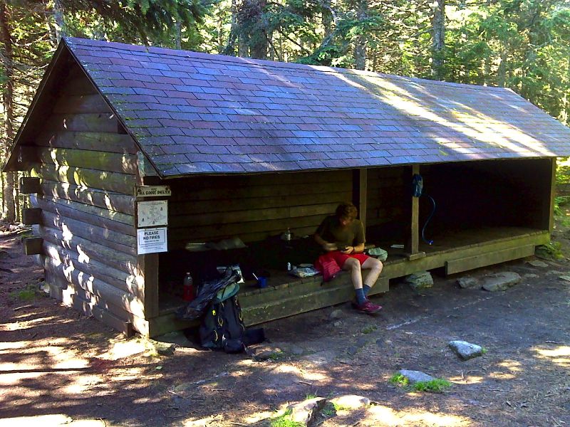
mm 43.4 Full Goose Shelter. GPS N44.5252 W70.9808
Submitted by pjwetzel @ gmail.com
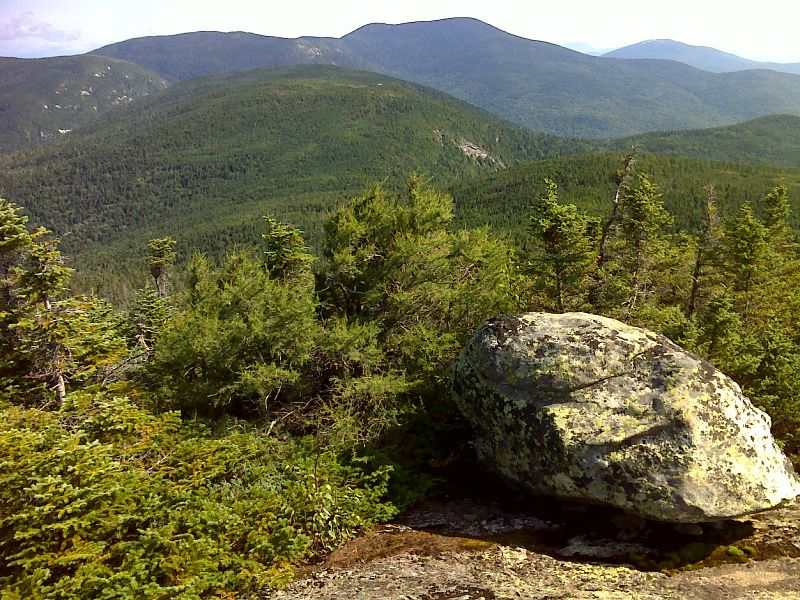
mm 44.0 View N from North Goose Eye Mt. A rare larch tree is to the left of the rock. GPS 44.5164 W70.9863
Submitted by pjwetzel @ gmail.com