NH Section 1 Pictures - Milemarker 0.0 - 2.0
New Hampshire/ Maine State Line - Mt. Success
Move your mouse across the pictures for more information.
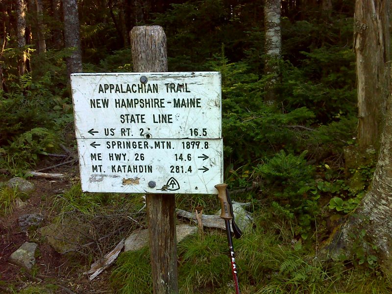
mm 0.0 Sign at New Hampshire - Maine State Line. The distance to Springer Mt. is certainly wrong. GPS N44.4850 W71.0215
Submitted by pjwetzel @ gmail.com
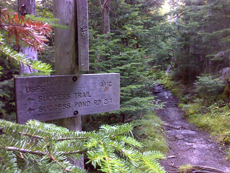
mm 1.3 Junction with the Success Trail. GPS N44.4784 W71.0406
Submitted by pjwetzel @ gmail.com
mm 1.3 Clearing at trail head for Success Trail. Ample parking is available here.
Submitted by dlcul @ conncoll.edu
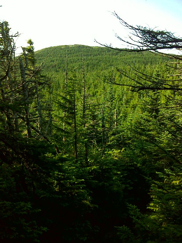
Mt. Success from the north. GPS N44.4759 W71.0392
Submitted by pjwetzel @ gmail.com
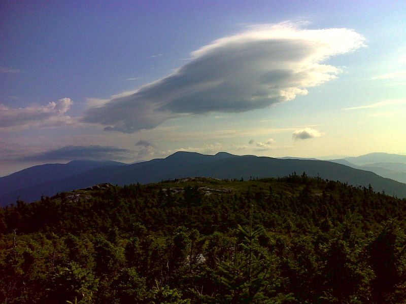
mm 1.9 Lenticular wave cloud northeast of Mt. Success. GPS N44.4716 W71.0392
Submitted by pjwetzel @ gmail.com
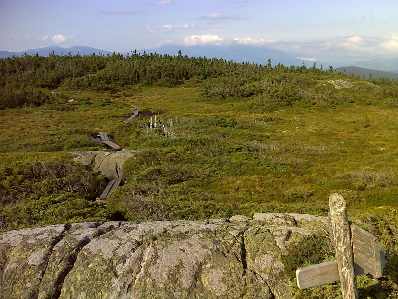
mm 1.9 Bog at summit of Mt. Success. GPS N44.4716 W71.0392
Submitted by pjwetzel @ gmail.com
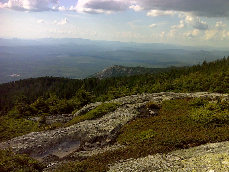
The Presidential and Carter ranges as seen from Mt. Success. Taken from approx. mm 2.0. GPS N44.4696 W71.0409
Submitted by pjwetzel @ gmail.com

Northwest from the summit of Mt. Success. The rocky point seen in the center of the photo is the Outlook Rocks, the viewpoint accessible from the Success Trail. Taken from approx. mm 2.0. GPS N44.4696 W71.0409
Submitted by pjwetzel @ gmail.com