NH Section 1 Pictures - Milemarker 2.6 - 4.7
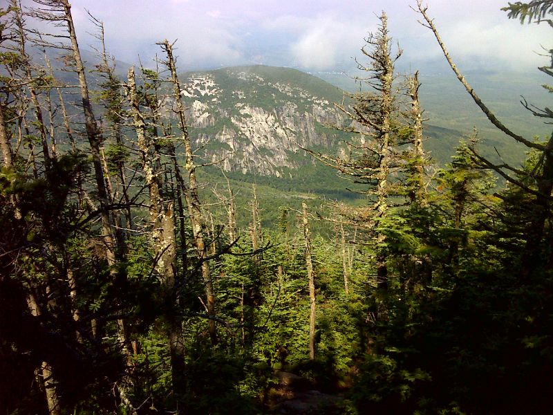
View of North Bald Cap - Austin Brook Trail
Move your mouse across the pictures for more information.

Cliffs of North Bald Cap as seen from south slopes of Mt. Success. GPS 44.4643 N71.0486
Submitted by pjwetzel @ gmail.com

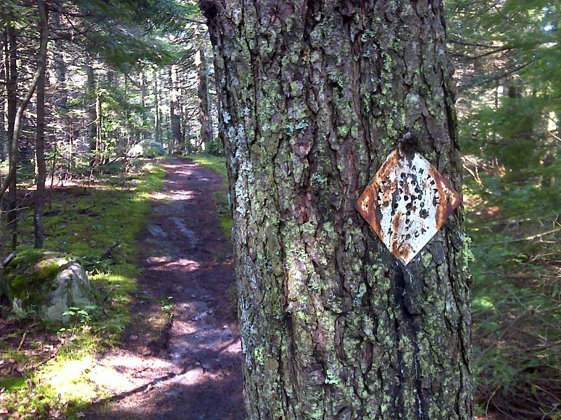
Rare old metal AT sign. GPS 44.4617 N71.0589
Submitted by pjwetzel @ gmail.com
mm 4.7 According to the guidebooks I have, the Genetian Pond Shelter is on the AT itself. However it appears there has been a relocation and the shelter is formally on the Austin Brook Trail. This is the new trailhead.
Submitted by dlcul @ conncoll.edu
mm 4.7 Genetian Pond from the old AT Route to the shelter. There is no longer any view of the pond from the relocated AT.
Submitted by dlcul @ conncoll.edu
mm 4.7 Genetian Pond Shelter
Submitted by dlcul @ conncoll.edu
mm 4.7 Interior of the Genetian Pond Shelter
Submitted by dlcul @ conncoll.edu
View from the Gentian Pond shelter south towards the Carter-Moriah Range
Submitted by dlcul @ conncoll.edu
mm 4.7 Austin Brook Trail as it begins a 1500 foot, 3.5 mile descent to North Road from Genetian Pond Shelter
Submitted by dlcul @ conncoll.edu