NH Section 1 Pictures - Milemarker 9.8 - 15.7
Trident Col Campsite - Hogan Road
Move your mouse across the pictures for more information.
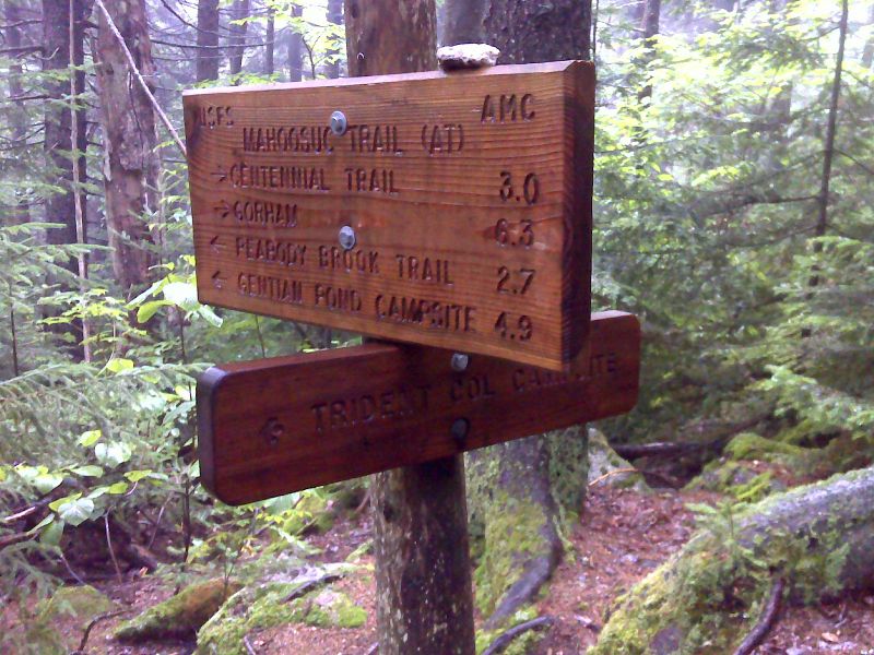
mm 9.6 Junction with trail to Trident Col Campsite. GPS N44.4407 W71.1364
Submitted by pjwetzel @ gmail.com
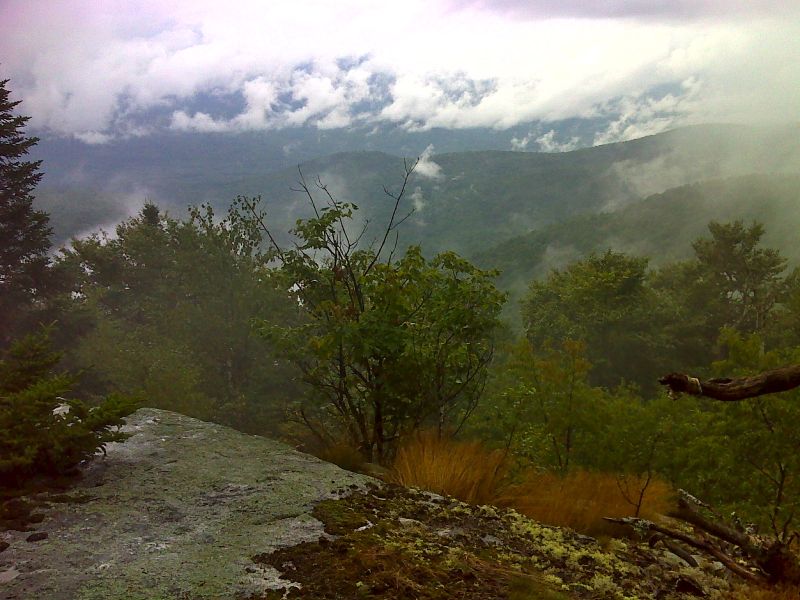
Stormy view from slopes of Cascade Mt. GPS N44.4387 W71.1405
Submitted by pjwetzel @ gmail.com
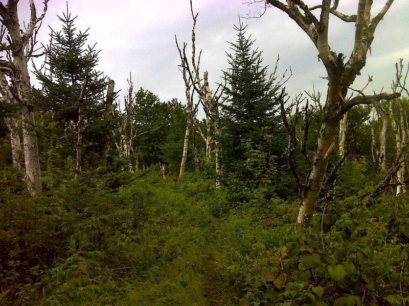
mm 10.7 Dead birches at summit of Cascade Mt. GPS N44.4364 W71.1499
Submitted by pjwetzel @ gmail.com
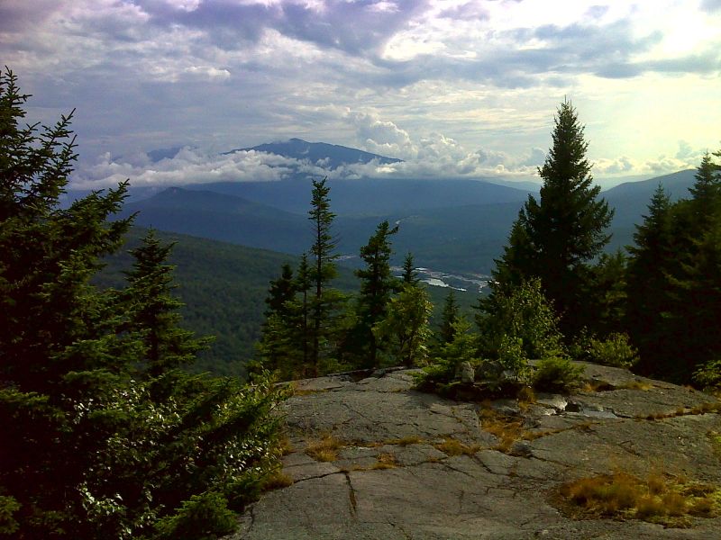
Mt. Madison with spectacular cloud wreath. This is taken from west slopes of Cascade Mt. GPS N44.4325 W71.1574
Submitted by pjwetzel @ gmail.com
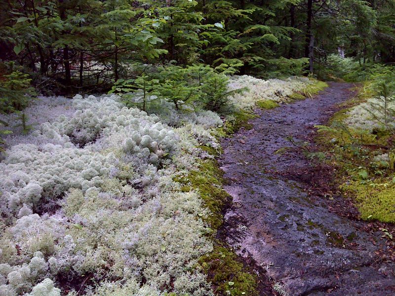
Lichen clouds on slopes of Mt. Hayes. GPS N44.4189 W71.1574
Submitted by pjwetzel @ gmail.com
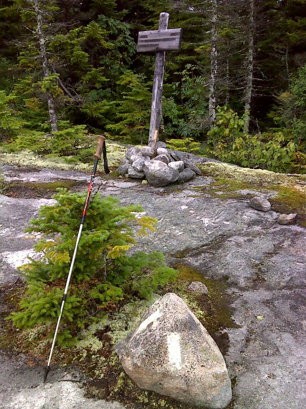
mm 12.6 The northbound trail, which has been following the Centennial Trail, make a right angle turn onto the Mahoosuc Trail. GPS N44.4177 W71.1575
Submitted by pjwetzel @ gmail.com
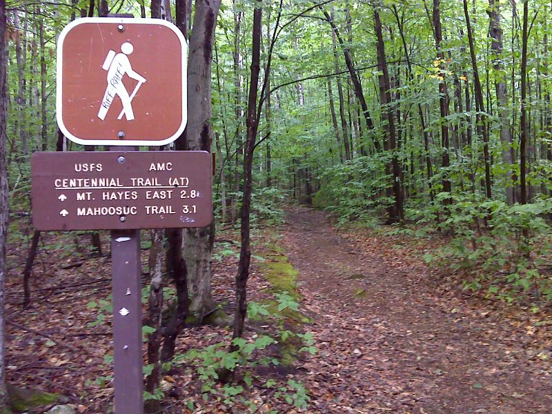
mm 15.7 The northbound AT follows the Centennial Trail as it leaves Hogan Road. GPS N44.4041 W71.1202
Submitted by pjwetzel @ gmail.com
mm 15.7 Parking at Centennial Trail (AT) trailhead on Hogan Road
Submitted by dlcul @ conncoll.edu