NH Section 2 Pictures - Milemarker 7.3 - 10.3
Stony Brook Trail - Between Middle and North Carter
Move your mouse across the pictures for more information.
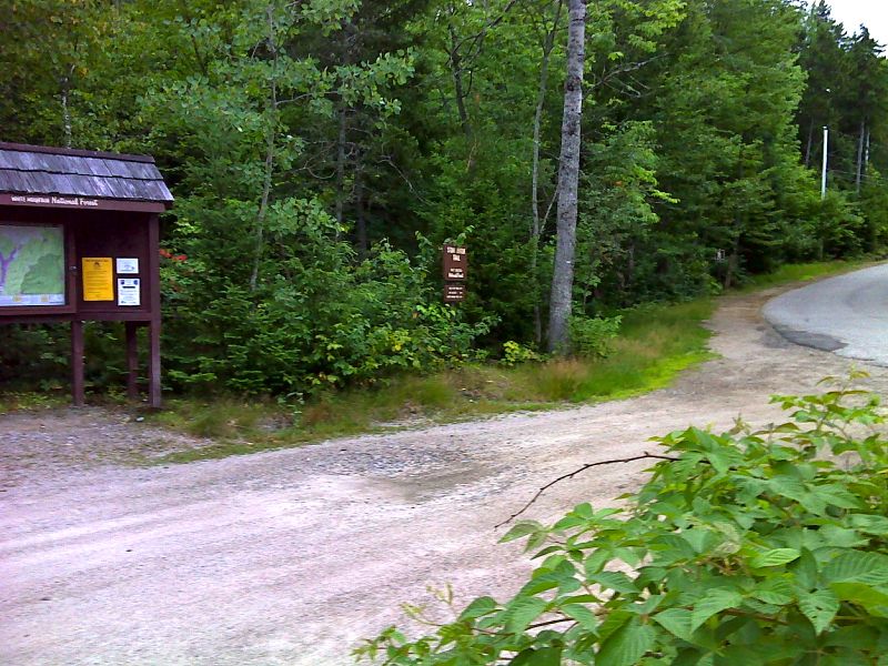
mm 7.3 Stony Brook trail head and parking area on NH 16. Via the Stony Brook Trail it is 3.5 miles to the AT. GPS N44.3632 W71.1773
Submitted by pjwetzel @ gmail.com
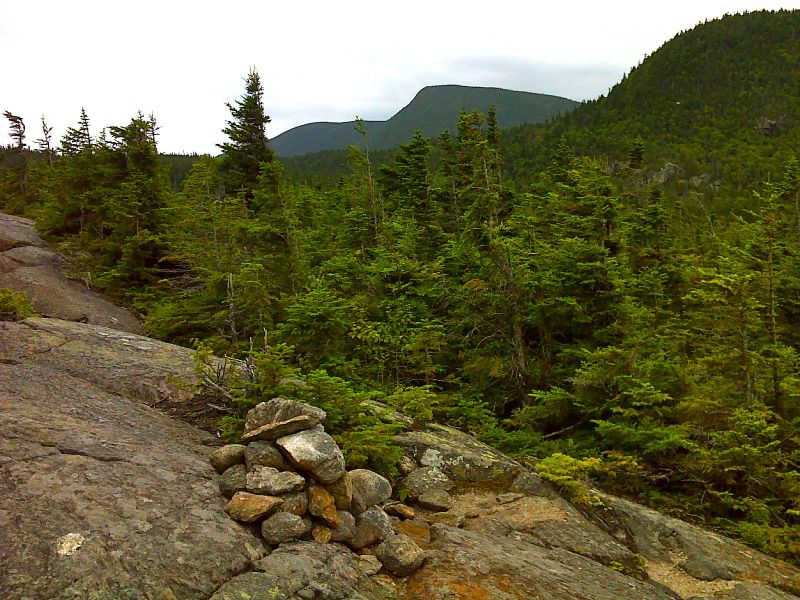
North Carter Mt. (center) and Middle Carter Mt. (left center). Taken at approx. mm 7.7. GPS N44.3277 W71.1476
Submitted by pjwetzel @ gmail.com

Gorham and Berlin from exposed viewpoint. Taken at approx. mm 7.7. N44.3276 W71.1476
Submitted by pjwetzel @ gmail.com
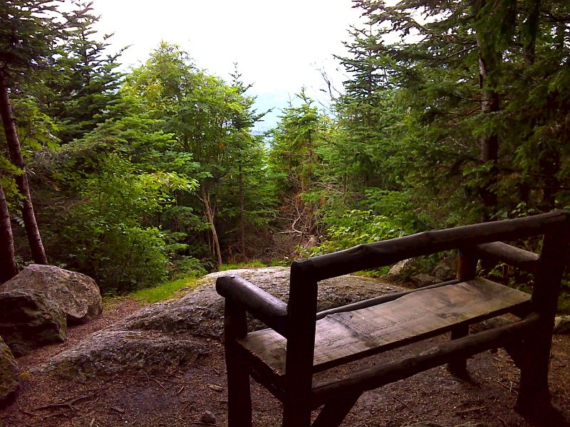
mm 8.0 Viewpoint Near Imp Shelter. GPS N44.3191 W71.1503
Submitted by pjwetzel @ gmail.com
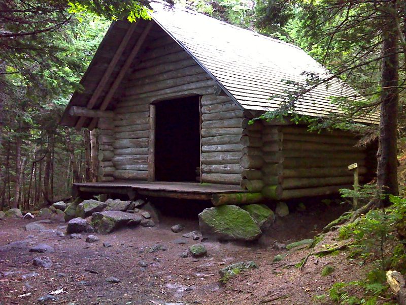
mm 8.0 Imp Shelter. GPS N44.3291 W71.1503
Submitted by pjwwetzel @ gmail.com
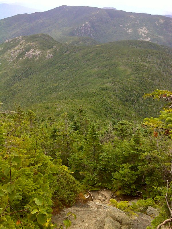
View of Mt. Moriah from north slopes of North Carter. GPS N44.3155 W71.1632
Submitted by pjwetzel @ gmail.com
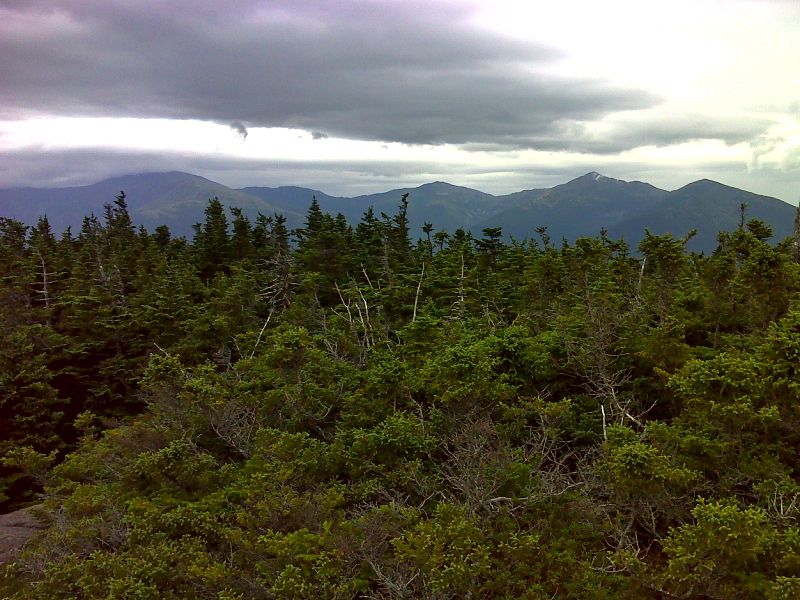
Presidential Range from a viewpoint on the north side of Middle Carter. Mt. Washington itself is in the clouds. Taken at approx. mm 10.3. GPS N44.3056 W71.1682
Submitted by pjwetzel @ gmail.com

Cliffs of Middle Carter. The summit is on the left. GPS N44.3056 W71.1682
Submitted by pjwetzel @ gmail.com