NH Section 2 Pictures - Milemarker 14.0 - 15.2
Carter Dome - Carter Notch
Move your mouse across the pictures for more information.
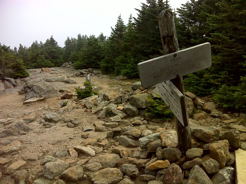
mm 14.0 Summit of Carter Dome. GPS N44.2675 W71.1793
Submitted by pjwetzel @ gmail.com
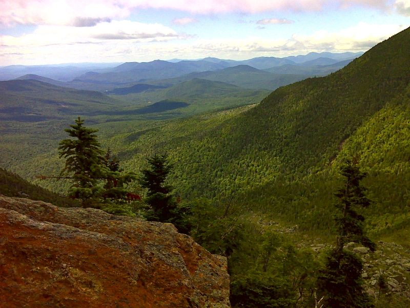
mm 14.6 Looking south--Carter Notch and beyond. this is from viewpoint on descent (southbound) into notch from Carter Dome. GPS N44.2617 W71.1910
Submitted by pjwetzel @ gmail.com
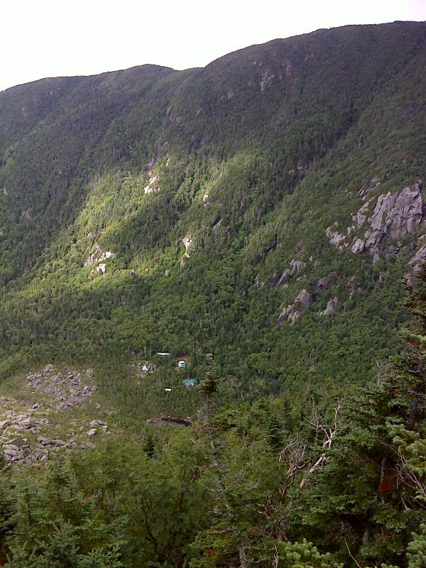
mm 14.6 Carter Notch Hut and Lake from north slopes. GPS N44.2617 W71.1910
Submitted by pjwetzel @ gmail.com
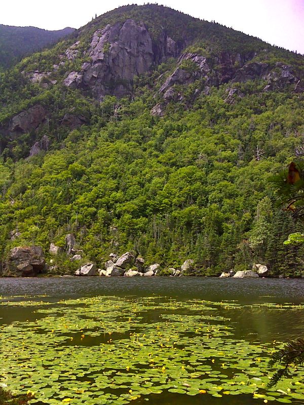
mm 15.2 Upper Carter Lake. GPS N44.2605 W71.1945
Submitted by pjwetzel @ gmail.com
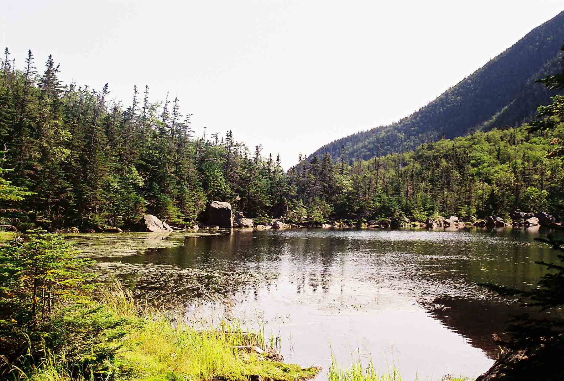
mm 15.2 - The more western of the two ponds in Carter Notch. Carter Notch Hut is in woods at far end of the pond. This picture was taken from the AT.
Submitted by dlcul @ conncoll.edu
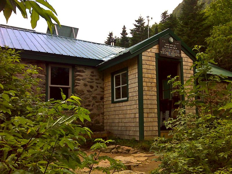
mm 15.2 Carter Notch Hut. GPS N44.2594 W71.1954
Submitted by pjwetzel @ gmail.com
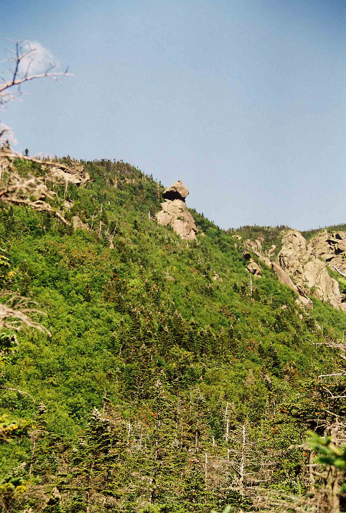
I believe this formation, which is located on the north wall of Carter Notch, is known as the Pulpit.
Submitted by dlcul @ conncoll.edu
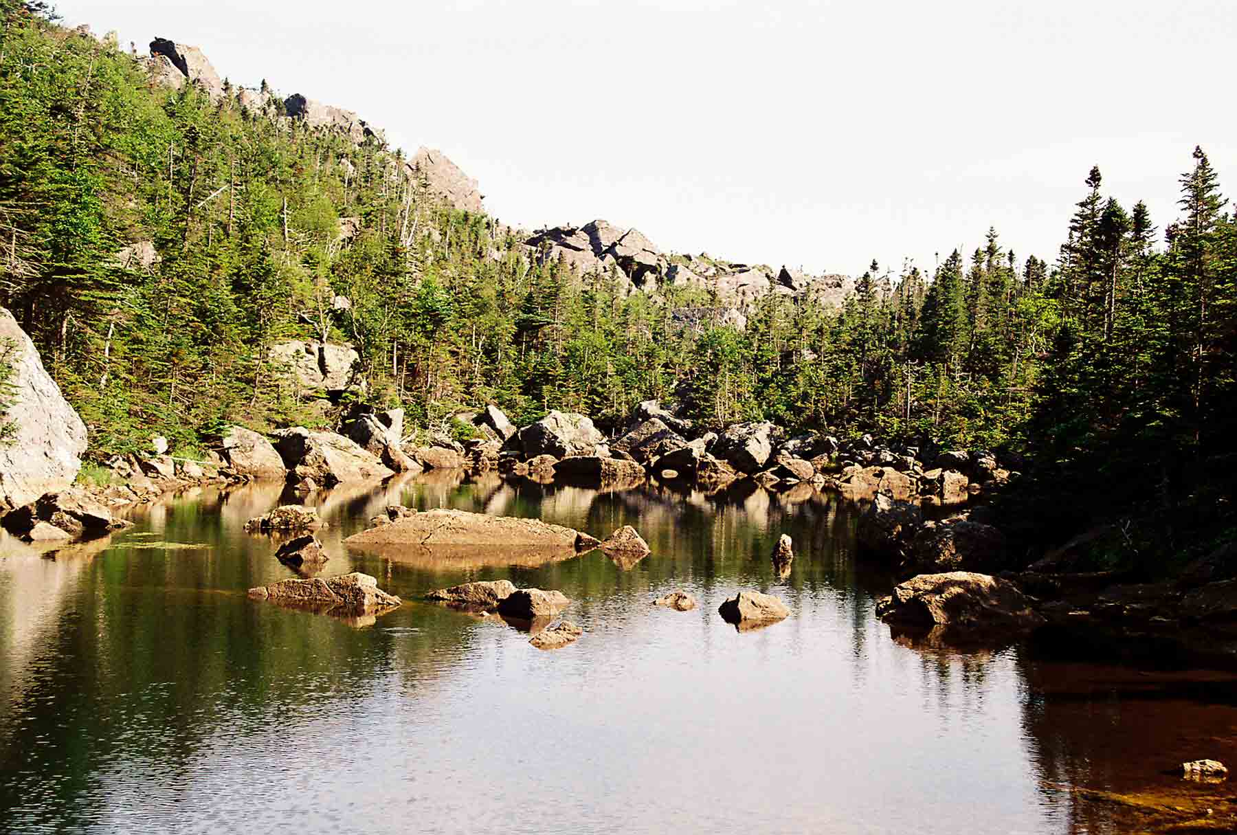
This is the more eastern of the two ponds in Carter Notch.
Submitted by dlcul @ conncoll.edu