NH Section 2 Pictures - Milemarker 15.2 - 18.1
The Ramparts in Carter Notch - Wildcat D
Move your mouse across the pictures for more information.
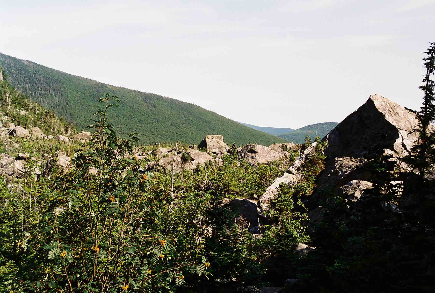
mm 15.2 - The Ramparts, a massive jumble of rocks, located just to the east of Carter Notch Hut. View is to the east.
Submitted by dlcul @ conncoll.edu
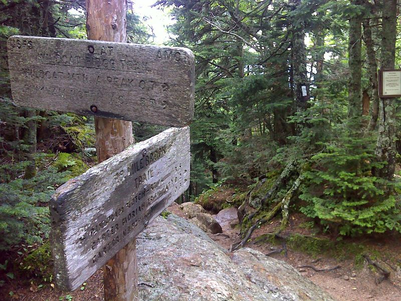
mm 15.4 Junction of the Wildcat Ridge Trail and the Nineteen Mile Brook Trail. The northbound AT turns right off the former onto the latter. To the left the Nineteen Mile Brook Trail leads 3.5 miles to NH 16. GPS N44.2617 W71.1957
Submitted by pjwetzel @ gmail.com
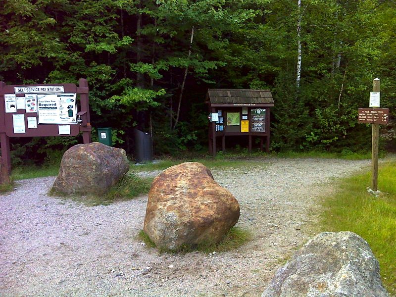
mm 15.4 Trailhead and parking for Nineteen Mile Brook Trail. GPS 44.3020 W 71.2211
Submitted by pjwetzel @ gmail.com
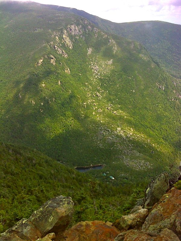
mm 16.1 Carter Notch from viewpoint near the summit of Wildcat A. The hut and one of the Carter Lakes are visible. GPS 44.2592 W 71.2017
Submitted by pjwetzel @ gmail.com
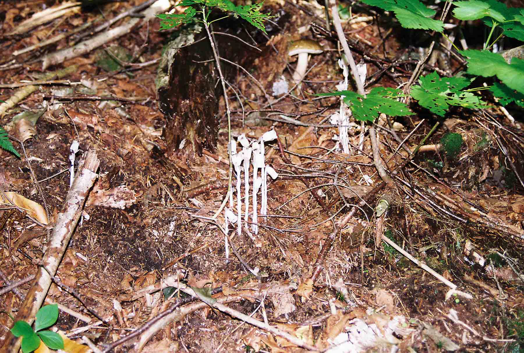
mm 18.1 - Indian Pipe
Submitted by dlcul @ conncoll.edu
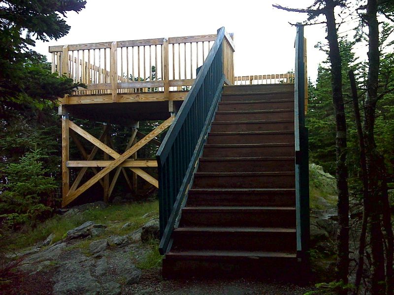
mm 18.1 Observation deck on summit of Wildcat D. GPS 44.2493 W 71.2237
Submitted by pjwetzel @ gmail.com
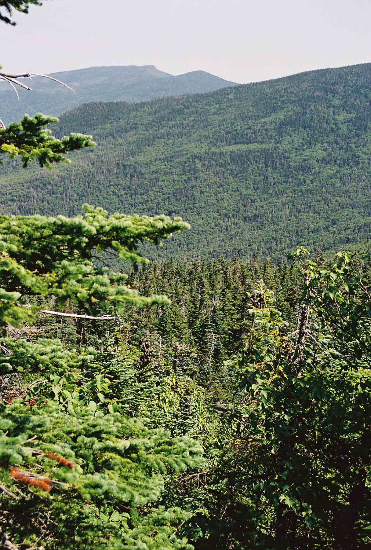
mm 18.1 - Looking south from observation tower on Wildcat D (Aug '04)
Submitted by dlcul @ conncoll.edu

mm 18.1 - Mt. Adams (on left) and Mt. Madison from observation tower on Wildcat D. Madison Hut (not visible) is in the col between the peaks (August '04).
Submitted by dlcul @ conncoll.edu