NH Section 2 Pictures - Milemarker 18.8 - 20.2
The Ledge - Glen Ellis Parking Area
Move your mouse across the pictures for more information.
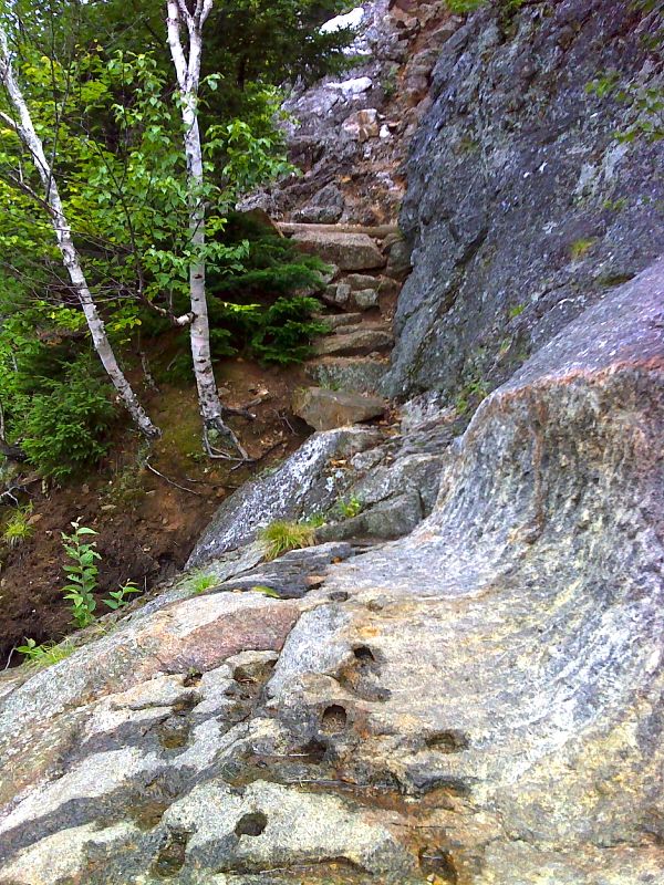
Yes, this is the trail. The northbound trail ascends this very steep ledge at approximately mile 18.8 via steps, depressions blasted into the rock and just plain friction between boot and rock. The stretch of trail between the junction with the Lost Pond Trail and Wildcat E is described as "exceptionally steep" in the AT Guide to NH/VT. This is the steepest portion. The Pinkham Notch Visitors Center can be seen below.
Submitted by dlcul @ conncoll.edu
mm 18.8 - Ascending the steep ledge shown in the previous picture
Submitted by seqatt.net @ sbcglobal.net
The northbound AT climbs steeply, then levels off somewhat before ascending steeply to the point seen in the center of the picture. It goes over a series of bumps before reaching Wildcat E, the peak on the far right. The Wildcat Gondola ski lift (open in summer) is just on the other side of Wildcat D. This picture was taken from approximately Mile 19.6.
Submitted by dlcul @ conncoll.edu
Mt. Washington and Pinkham Notch from the ledge at approximately mile 18.8. The AMC Pinkham Notch Center is at the bottom of the picture.
Submitted by dlcul @ conncoll.edu
mm 19.9 - View to the south from Wildcat Ridge Trail. The prominent mountain in the center of the picture is Mt. Chocura.
Submitted by seqatt.net @ sbcglobal.net
View to the south from the ledge at approximately mile 19.9. The highway is NH 16.
Submitted by dlcul @ conncoll.edu
Pinkham Notch and Mt Washington (with summit in clouds) from the ledge at approximately mile 19.9.
Submitted by dlcul @ conncoll.edu

Trail carved in bedrock at the base of a steep stone chimney climb to a ledge. This is at approx. mm 19.9.. GPS N44.2465 W71.2482
Submitted by pjwetzel @ gmail.com

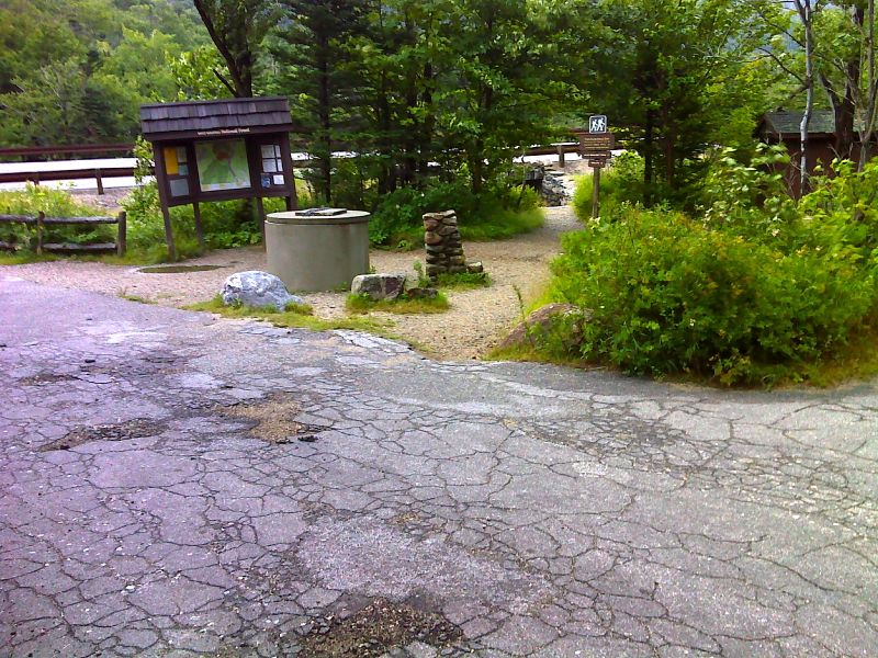
mm 20.2 Parking for Glen Ellis Falls on NH 16. This is also the trailhead for the Wildcat Ridge Trail. That trail, initially blue-blazed, uses the pedestrian underpass seen in the picture to get to the east side of NH 16. It then crosses the Ellis River and meets the Lost Pond Trail 0.1 miles from the parking area. From that junction to Carter Notch, the Wildcat Ridge Trail is the AT. GPS N44.2457 W71.2538
Submitted by pjwetzel @ gmail.com