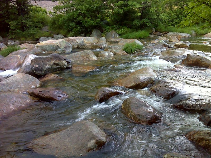
NH Section 2 Pictures - Milemarker 20.2 - 20.6
Ellis River - Lost Pond
Move your mouse across the pictures for more information.

mm 20.2 Rock Hop across the Ellis River. This crossing can be difficult in high water. The junction with AT is just on the other side. GPS N44.2457 W71.2538
Submitted by pjwetzel @ gmail.com
Lost Pond (mile 20.6) taken during the early morning
Submitted by dlcul @ conncoll.edu
mm 20.6 - View to the northwest across Lost Pond to Mt. Washington
Submitted by seqatt.net @ sbcglobal.net