NH Section 3 Pictures - Milemarker 0.0 - 4.0
Appalachian Mountain Club Visitor Center - West Branch of Peabody River
Move your mouse across the pictures for more information.
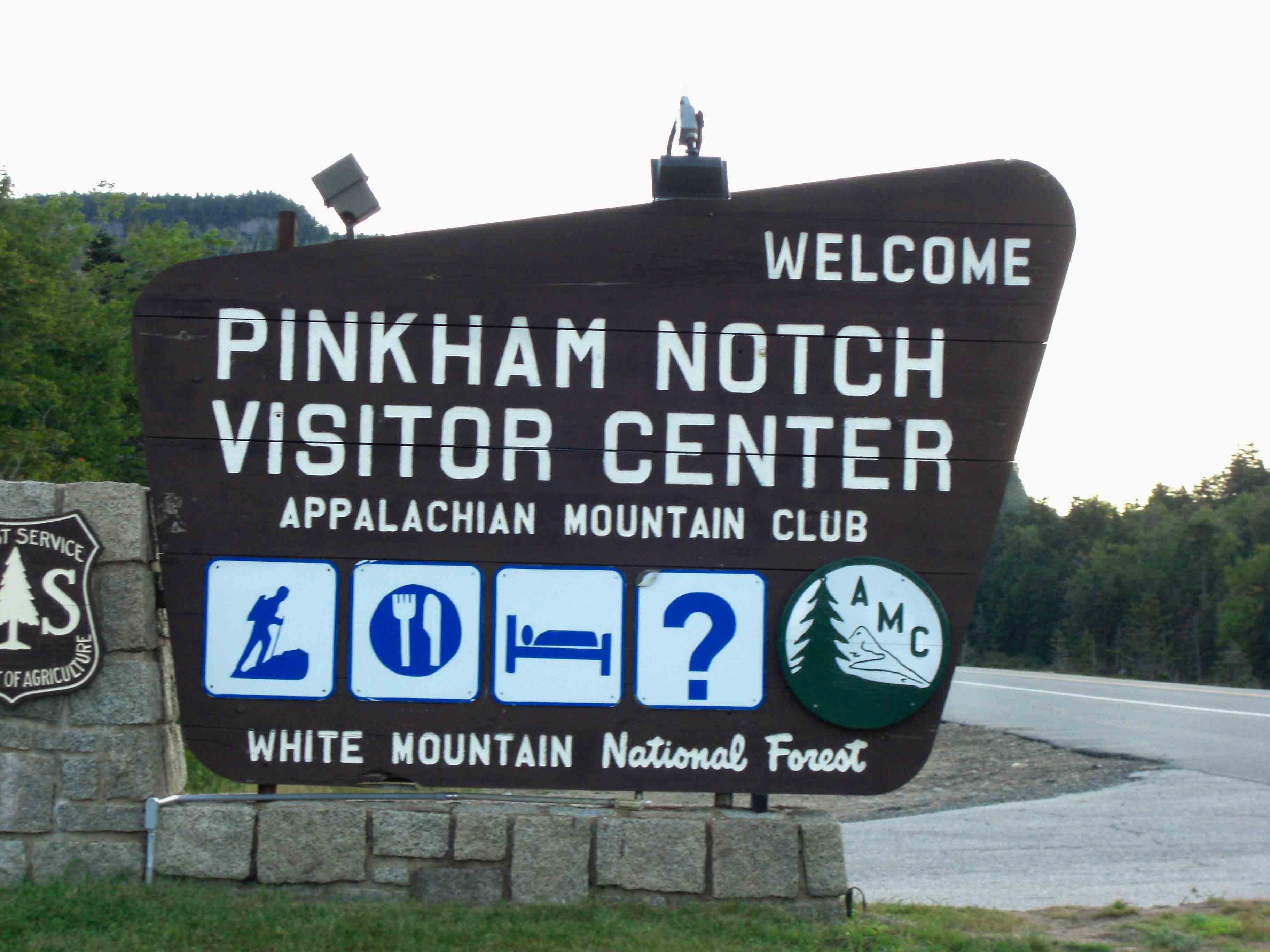
MM 0.0 - Entrance to the Appalachian Mountain Club Visitor Center at Pinkham Notch on NH 16
Submitted by seqatt.net @ sbcglobal.net
MM 0.0 - Early morning picture at Pinkham Notch Visitor Center. Huntington's Ravine and Mt. Washington are in the background. Most of the parking is to the left of this picture.
Submitted by seqatt.net @ sbcglobal.net
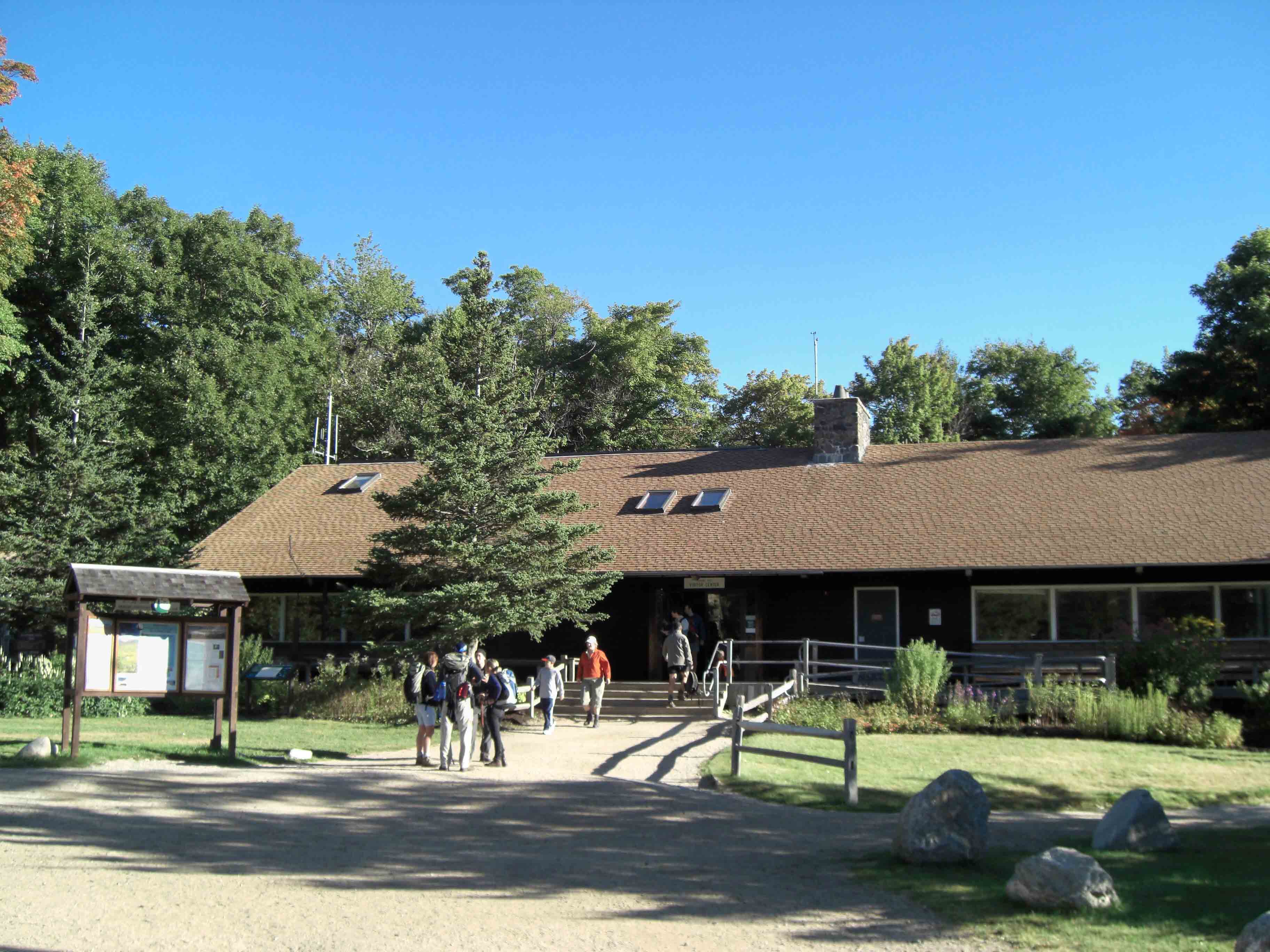
MM 0.0 - Pinkham Notch Visitor Center. The AT passes right in front of this.
Submitted by seqatt.net @ sbcglobal.net
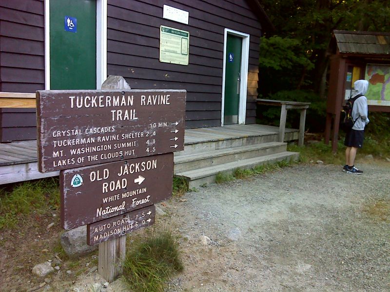
mm 0.0 From Pinkham Notch, the southbound trail goes compass north on the Old Jackson Road trail. GPS N44.2575 W71.2533
Submitted by pjwetzel @ gmail.com
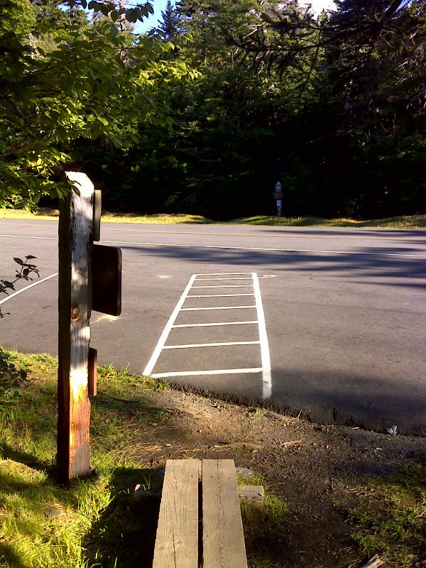
mm 1.9 AT crosses the Mt. Washington Auto Road. South of here it follows the Old Jackson Road trail. North of here it follows the Madison Gulf Trail. GPS N44.2813 W71.2531
Submitted by pjwetzel @ gmail.com

Mt Jefferson (on left) and Mt. Adams (on right) making their own clouds. GPS N44.2839 W71.2534
Submitted by pjwetzel @ gmail.com
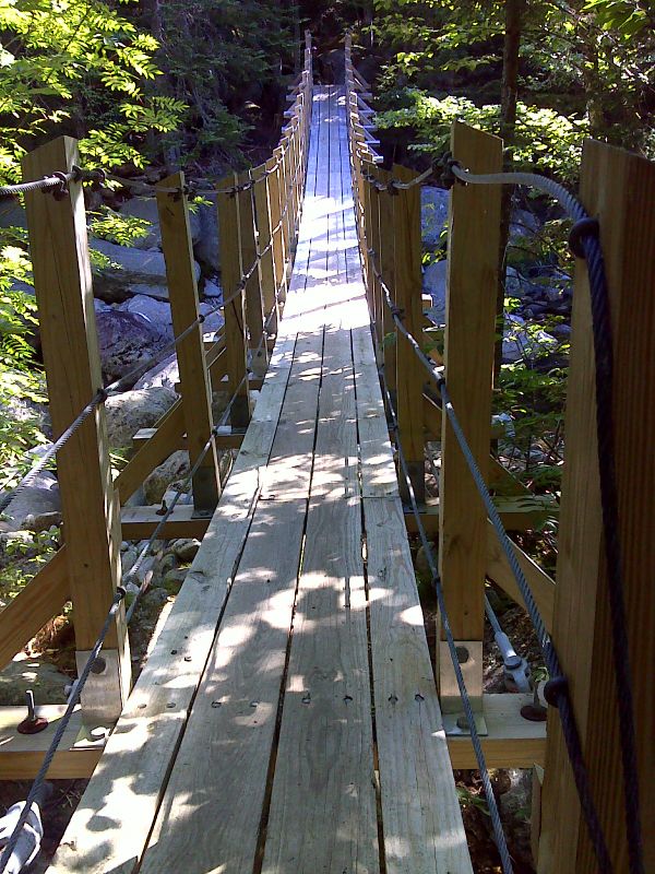
mm 4.0 Suspension Bridge across the West Branch of the Peabody River. GPS N44.3045 W71.2630
Submitted by pjwetzel @ gmail.com

mm 4.0 West Branch of the Peabody River. On the north side of this stream, the AT turns onto the Osgood Cutoff Trail, then the Osgood Trail and begins the ascent of Mt.Madison. GPS N44.3046 W71.2628
Submitted by pjwetzel @ gmail.com