NH Section 3 Pictures - Milemarker 8.9 - 13.3
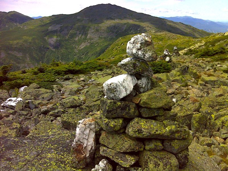
Cairns on South Side of Mt. Adams - N. side Mt. Washington
Move your mouse across the pictures for more information.

White-topped cairns as the southbound trail descends towards Edmand Col. The mountain in the center of the picture is Mt. Jefferson. GPS N44.3198 W71.2984
Submitted by pjwetzel @ gmail.com

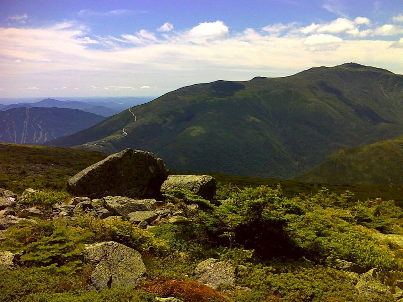
Auto Road and Mt Washington from the slopes of Mt. Adams. GPS N44.3194 W71.2997
Submitted by pjwetzel @ gmail.com

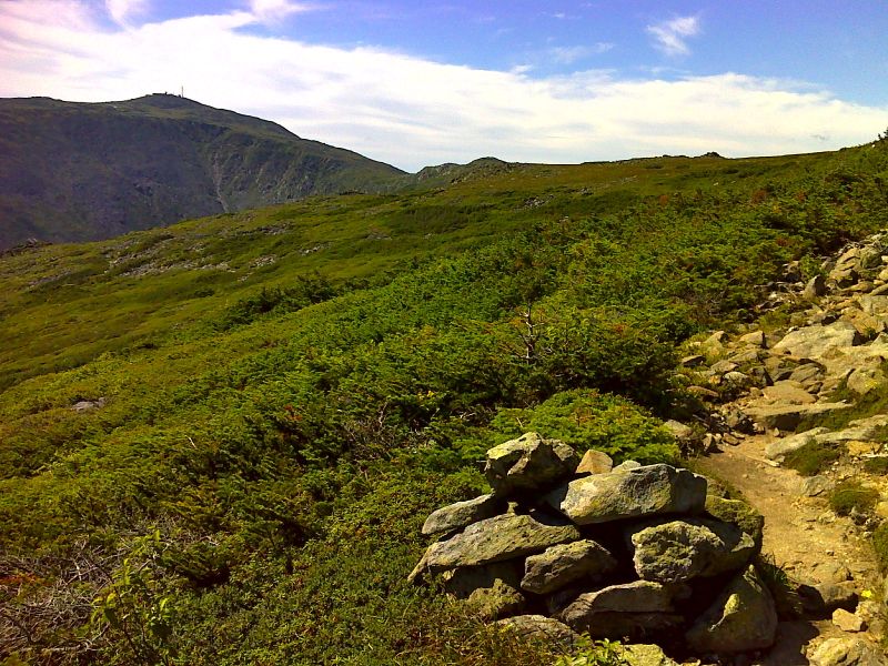
Washington and Clay from a tundra meadow. GPS N44.3044 W71.3118
Submitted by pjwetzel @ gmail.com

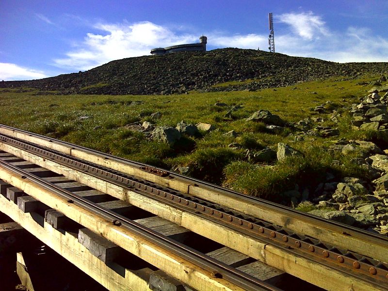
mm 12.7 Mt. Washington summit from cog railway crossing. This is near the north junction with the Westside Trail. GPS N44.2738 W71.3048
Submitted by pjwetzel @ gmail.com
Great Gulf from north side of Mt. Washington. Peaks on the left are Mts. Jefferson Adams and Madison (left to right). The spur on the side of Mt. Adams is Mt. Sam Adams. The pond visible is Spaulding Pond.
Submitted by dlcul @ conncoll.edu
Great Gulf from north side of Mt. Washington. Peak on other side of Gulf is Mt. Jefferson. The pond visible is Spaulding Pond. Taken from approx. Mile 12.9
Submitted by dlcul @ conncoll.edu
View north from north side of Mt. Washington. Mts. Adams and Madison are visible. Note cog railway train descending the mountain. Taken from near the junction with the Great Gulf Trail at Mile 13.1
Submitted by dlcul @ conncoll.edu
View north from north side of Mt. Washington. Mt. Jefferson is prominent peak in picture. The smaller peak in front of it is Mt. Clay which if the New Hampshire legislature has its way will become Mt. Reagan Note the cog railway train descending the mountain. Taken from approx. Mile 13.3
Submitted by dlcul @ conncoll.edu