NH Section 3 Pictures - Milemarker 21.3 - 24.2
Mt. Jackson - Lowest viewpoint on Webster Cliffs
Move your mouse across the pictures for more information.
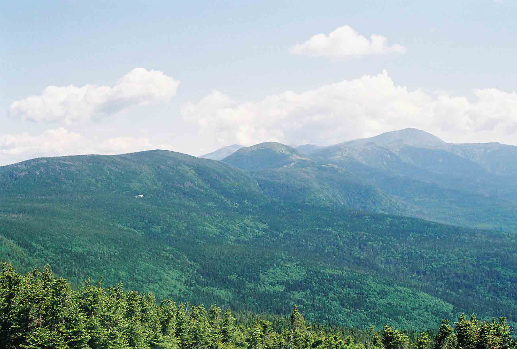
mm 21.3 - Looking north from the summit of Mt. Jackson. This shows the Southern Presidentals as far as Mt. Washington. The trail more or less follows this ridge, going over most of the summits seen. Note the white speck on the side of Mt. Pierce (just to the left of the center of the picture). This is Mizpah Hut.
Submitted by dlcul @ conncoll.edu
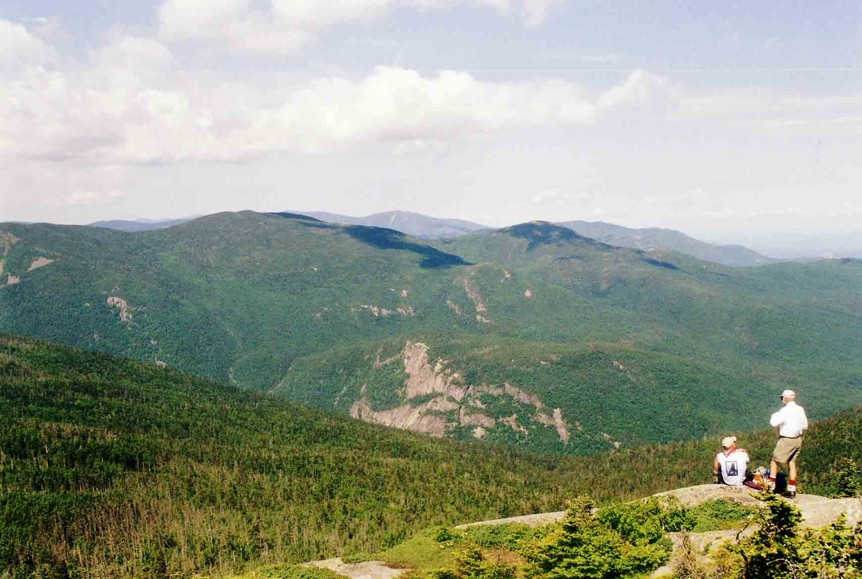
mm 21.3 - Looking west from the summit of Mt. Jackson
Submitted by dlcul @ conncoll.edu
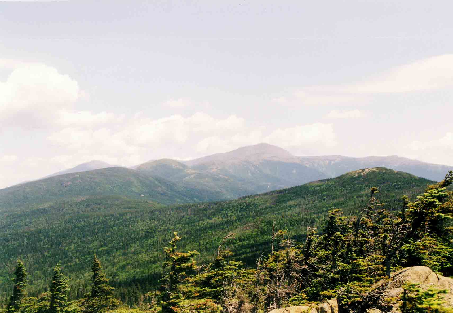
mm 22.7 - Looking north from the summit of Mt. Webster along the Presidental Range to Mt. Washington. The peak on the left in the far distance is Mt. Jefferson.
Submitted by dlcul @ conncoll.edu
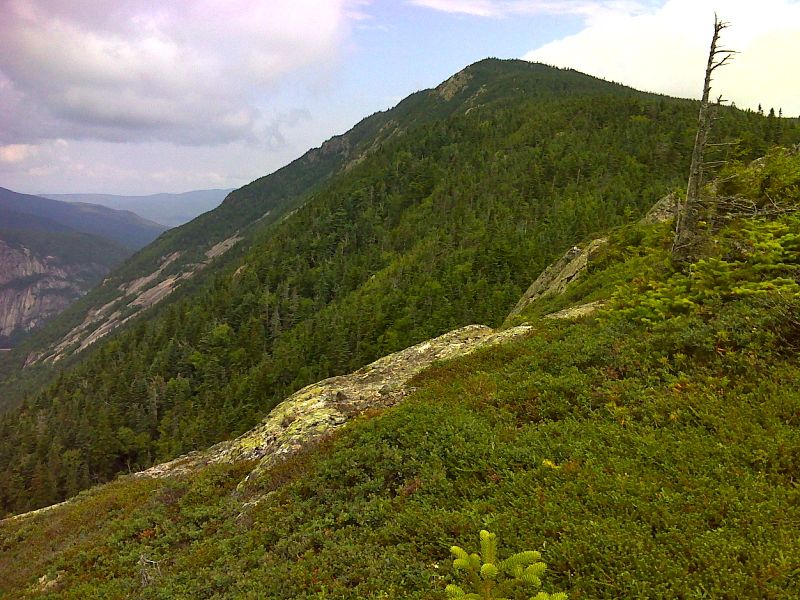
Tundra at 3400 feet along Webster Cliffs. Elevation is approx. 3400 feet. The peak visible is Mt. Webster. GPS 44.1855 N71.3853
Submitted by pjwetzel @ gmail.com
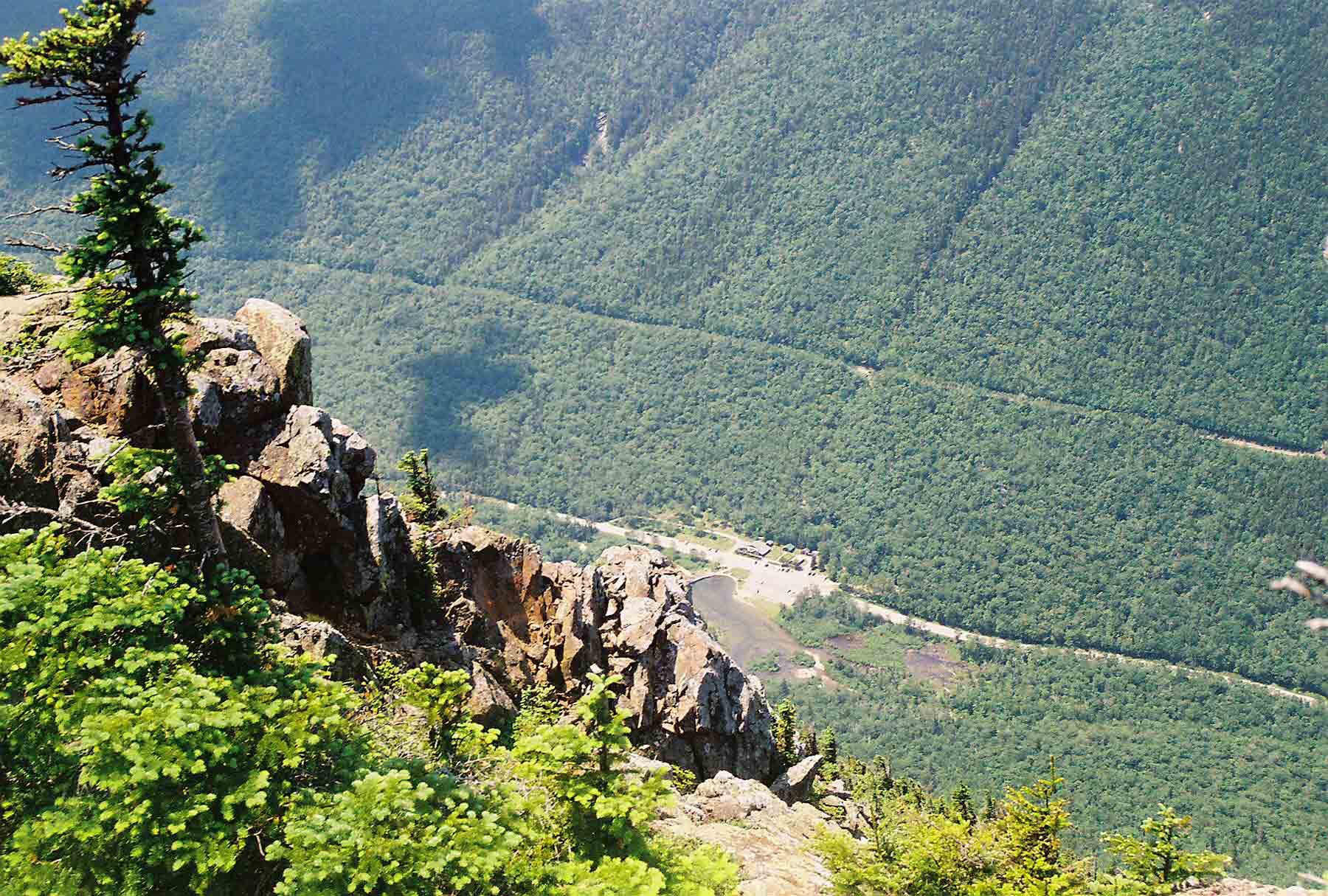
View straight down Webster Cliffs about 2500 feet to the Willey House Site (now a snack bar/ gift shop) in Crawford Notch State Park. Taken from approx. Mile 23.0.
Submitted by dlcul @ conncoll.edu
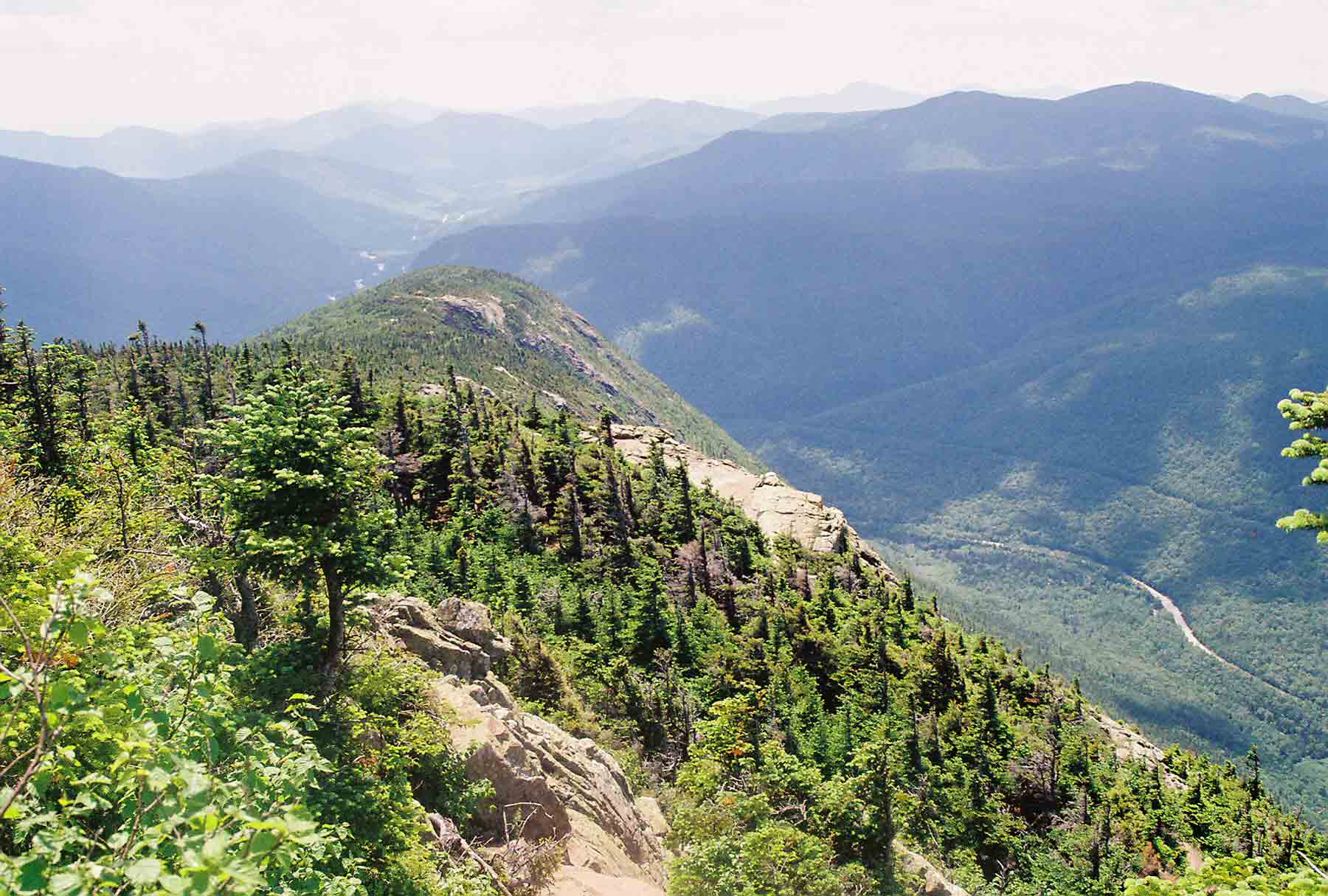
View south along the spine of Webster Cliff. The AT follows this then descends steeply to the valley floor.
Submitted by dlcul @ conncoll.edu
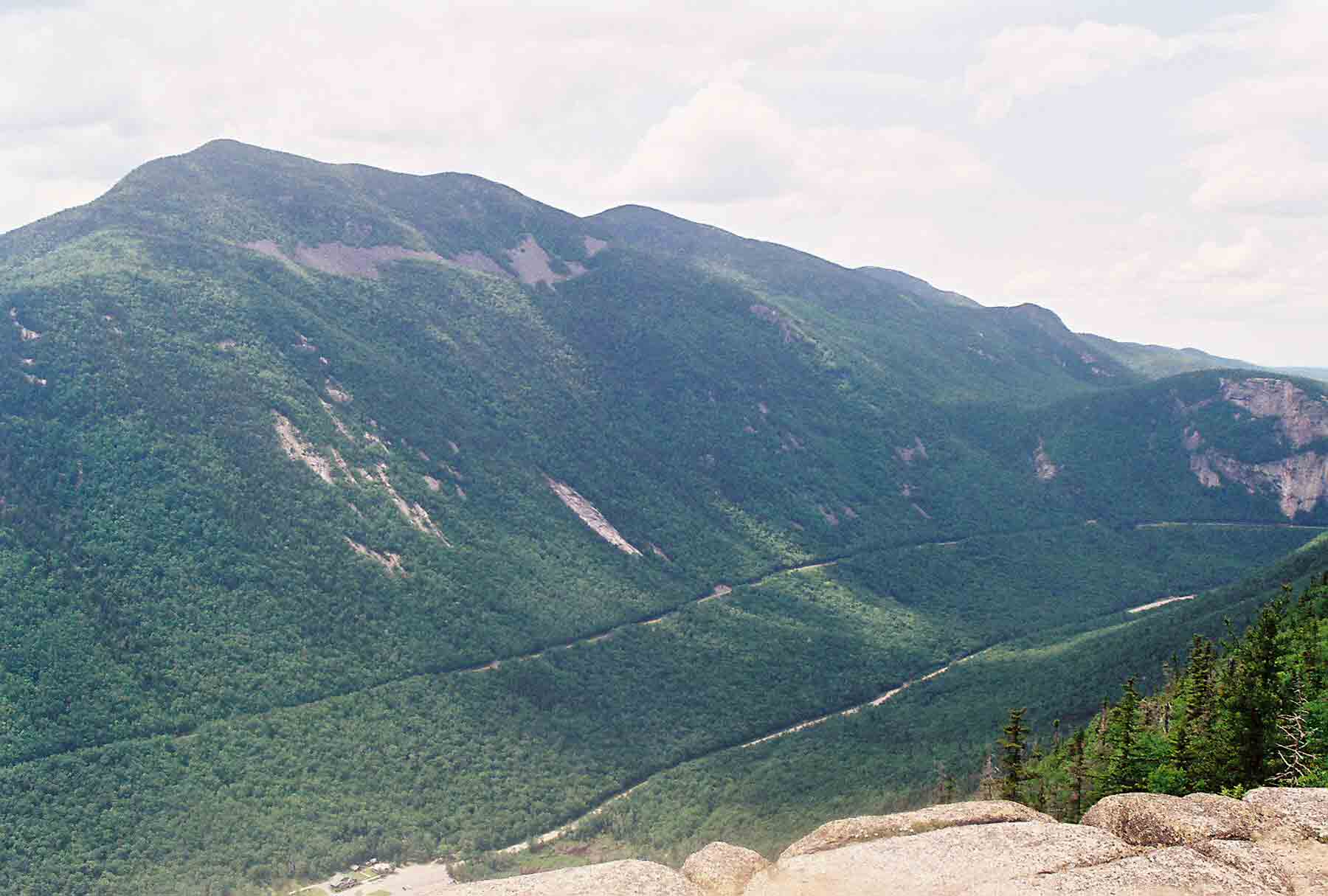
View across Crawford Notch. The peak on the left is Mt. Willey. The one to its right is probably Mt. Field.
Submitted by dlcul @ conncoll.edu
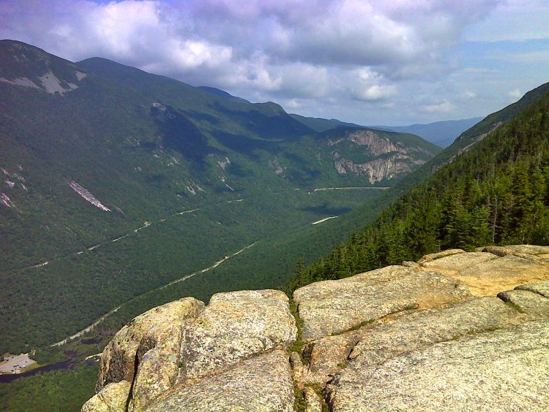
mm 24.2 Lowest of 14 viewpoints along the Webster Cliffs. Elevation is approx. 2900 feet. GPS 44.1790 N71.3831
Submitted by pjwetzel @ gmail.com